9489 E Oglethorpe Hwy Midway, GA 31320
Estimated Value: $229,074 - $302,000
3
Beds
1
Bath
2,523
Sq Ft
$100/Sq Ft
Est. Value
About This Home
This home is located at 9489 E Oglethorpe Hwy, Midway, GA 31320 and is currently estimated at $251,519, approximately $99 per square foot. 9489 E Oglethorpe Hwy is a home located in Liberty County with nearby schools including Liberty Elementary School, Midway Middle School, and Liberty County High School.
Ownership History
Date
Name
Owned For
Owner Type
Purchase Details
Closed on
Mar 5, 2007
Sold by
Jackson Waymon J
Bought by
Jackson Waymon J and Jackson Carolyn
Current Estimated Value
Purchase Details
Closed on
Mar 3, 2004
Sold by
Givens Annette and Givens Annie B
Bought by
Jackson Waymon J
Purchase Details
Closed on
Dec 30, 1976
Bought by
Givens Annette and Givens Annie B
Create a Home Valuation Report for This Property
The Home Valuation Report is an in-depth analysis detailing your home's value as well as a comparison with similar homes in the area
Home Values in the Area
Average Home Value in this Area
Purchase History
| Date | Buyer | Sale Price | Title Company |
|---|---|---|---|
| Jackson Waymon J | -- | -- | |
| Jackson Waymon J | -- | -- | |
| Givens Annette | -- | -- |
Source: Public Records
Tax History Compared to Growth
Tax History
| Year | Tax Paid | Tax Assessment Tax Assessment Total Assessment is a certain percentage of the fair market value that is determined by local assessors to be the total taxable value of land and additions on the property. | Land | Improvement |
|---|---|---|---|---|
| 2024 | $182 | $48,429 | $3,911 | $44,518 |
| 2023 | $182 | $43,577 | $3,911 | $39,666 |
| 2022 | $883 | $25,912 | $3,911 | $22,001 |
| 2021 | $854 | $24,453 | $3,911 | $20,542 |
| 2020 | $703 | $19,013 | $3,911 | $15,102 |
| 2019 | $701 | $19,320 | $3,911 | $15,409 |
| 2018 | $706 | $19,626 | $3,911 | $15,715 |
| 2017 | $656 | $19,933 | $3,911 | $16,022 |
| 2016 | $691 | $20,304 | $3,911 | $16,393 |
| 2015 | $696 | $19,435 | $3,042 | $16,393 |
| 2014 | $696 | $20,864 | $3,389 | $17,475 |
| 2013 | -- | $19,327 | $3,884 | $15,443 |
Source: Public Records
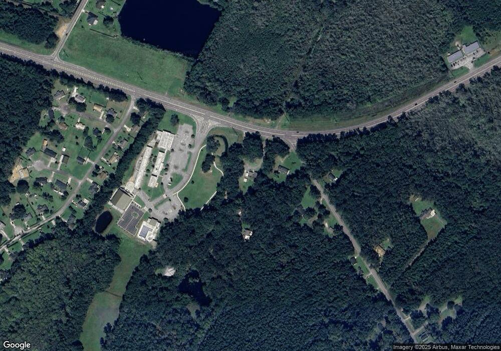
Map
Nearby Homes
- 0 E Oglethorpe Unit SA341930
- 0 E Oglethorpe Unit 153327
- 0 E Oglethorpe Unit 10592168
- 9081 E Oglethorpe Hwy
- 327 River Bend Dr
- 296 River Bend Dr
- 364 River Bend Dr
- 0000 E Oglethorpe Hwy
- 90 Charleston Ct
- 8701 E Oglethorpe Hwy
- 182 Gloucester Dr
- 0 S Coastal Hwy
- 1123 Stone Ct
- 670 Stone Ct
- 35 Hollis Ln
- 152 Holland Dr
- 1019 Stone Ct
- 94 Buckingham Dr
- 1099 Stone Ct
- 1057 Stone Ct
- 17 Bacontown Rd
- 3.5 Acre Bacontown Rd
- 0 E Oglethorpe Unit 53387
- 0 E Oglethorpe Unit 60347
- 0 E Oglethorpe Unit 72122
- 0 E Olgethorpe Hwy Unit 75134
- 0 E Oglethorpe Unit 92800
- 0 E Oglethorpe Unit 93739
- 0 E Oglethorpe Unit 107305
- 0 E Oglethorpe Unit 119865
- 0 E Oglethorpe Unit 138412
- 0 E Oglethorpe Unit 159465
- 0 E Oglethorpe Unit 169671
- 0 E Oglethorpe Unit 172681
- 0 E Oglethorpe Unit 178312
- 0 E Oglethorpe Unit 179421
- 0 E Oglethorpe Unit SA333651
- 0 E Oglethorpe Unit 159154
- 0 E Oglethorpe Unit 10444641
- 0 E Oglethorpe Unit 324847