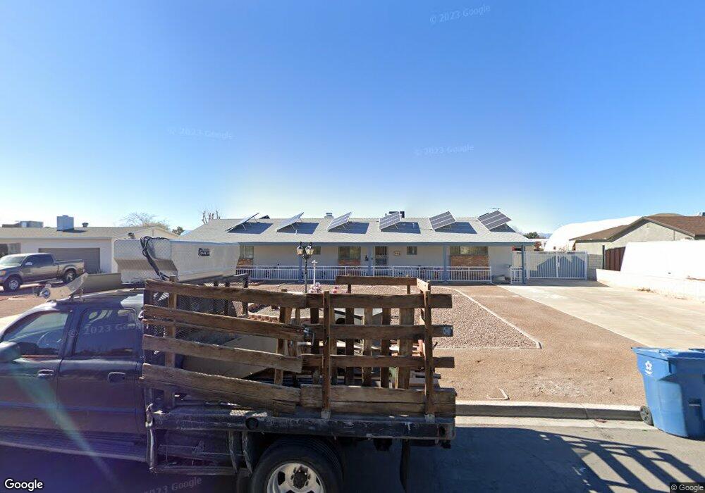
949 Apache Ln Las Vegas, NV 89110
Estimated Value: $483,000 - $539,000
4
Beds
3
Baths
2,016
Sq Ft
$255/Sq Ft
Est. Value
About This Home
This home is located at 949 Apache Ln, Las Vegas, NV 89110 and is currently estimated at $513,823, approximately $254 per square foot. 949 Apache Ln is a home located in Clark County with nearby schools including Stanford Elementary School, Duane D. Keller Middle School, and Eldorado High School.
Ownership History
Date
Name
Owned For
Owner Type
Purchase Details
Closed on
Feb 10, 2022
Sold by
Larson Robert M and Muncy Linda
Bought by
Larson Family Trust
Current Estimated Value
Purchase Details
Closed on
Dec 22, 2021
Sold by
Larson Robert M
Bought by
Larson Robert M and Larson Linda S
Purchase Details
Closed on
Mar 19, 2014
Sold by
Larson Robert M
Bought by
Larson Linda S Muncy and Larson Guy E
Purchase Details
Closed on
Mar 5, 2013
Sold by
Larson Robert M
Bought by
Larson Guy E and Kilty Thomas
Purchase Details
Closed on
Jun 8, 2006
Sold by
Cochran Loya L
Bought by
Larson Robert M and Jensen Larson Loya L
Create a Home Valuation Report for This Property
The Home Valuation Report is an in-depth analysis detailing your home's value as well as a comparison with similar homes in the area
Home Values in the Area
Average Home Value in this Area
Purchase History
| Date | Buyer | Sale Price | Title Company |
|---|---|---|---|
| Larson Family Trust | -- | Marshall Law Office | |
| Larson Robert M | -- | None Available | |
| Larson Linda S Muncy | -- | None Available | |
| Larson Guy E | -- | None Available | |
| Larson Robert M | -- | None Available | |
| Larson Robert M | -- | None Available |
Source: Public Records
Tax History
| Year | Tax Paid | Tax Assessment Tax Assessment Total Assessment is a certain percentage of the fair market value that is determined by local assessors to be the total taxable value of land and additions on the property. | Land | Improvement |
|---|---|---|---|---|
| 2026 | $1,929 | $79,592 | $45,500 | $34,092 |
| 2025 | $1,786 | $76,141 | $42,000 | $34,141 |
| 2024 | $1,655 | $76,141 | $42,000 | $34,141 |
| 2023 | $1,655 | $76,236 | $45,500 | $30,736 |
| 2022 | $1,532 | $67,724 | $38,500 | $29,224 |
| 2021 | $1,333 | $60,212 | $31,500 | $28,712 |
| 2020 | $1,290 | $59,053 | $29,750 | $29,303 |
| 2019 | $1,253 | $54,245 | $24,500 | $29,745 |
| 2018 | $1,217 | $52,119 | $22,750 | $29,369 |
| 2017 | $1,382 | $49,757 | $19,250 | $30,507 |
| 2016 | $1,152 | $43,641 | $12,950 | $30,691 |
| 2015 | $1,111 | $39,690 | $8,750 | $30,940 |
| 2014 | $1,078 | $38,082 | $7,000 | $31,082 |
Source: Public Records
Map
Nearby Homes
- 980 N Christy Ln
- 0 Washington Unit 2360795
- 1145 Red Iron Way
- 5294 Walnut Ave
- 5600 Grossmont Ave
- 5529 Cedar Ave
- 5612 Super Bowl Dr
- 5540 Rabbit Springs Rd
- 506 Wheaties Way
- 1082 Palmerston St
- 940 N Sloan Ln Unit 201M
- 4932 E Washington Ave
- 1219 Prairie View Dr
- 5803 E Monroe Ave
- 5681 Coaldale Place
- 5832 Sutcliffe Cir
- 6018 Halehaven Dr
- 360 N Sir Richard Dr
- 1219 Desert Solitude St
- 723 Straight St
Your Personal Tour Guide
Ask me questions while you tour the home.