949 Bluebird Nest Ln SW Backus, MN 56435
Estimated Value: $363,000 - $527,000
3
Beds
3
Baths
3,216
Sq Ft
$140/Sq Ft
Est. Value
About This Home
This home is located at 949 Bluebird Nest Ln SW, Backus, MN 56435 and is currently estimated at $448,807, approximately $139 per square foot. 949 Bluebird Nest Ln SW is a home located in Cass County with nearby schools including Pine River-Backus Elementary School, Pine River-Backus High School, and Pine River-Backus Area Learning Center.
Ownership History
Date
Name
Owned For
Owner Type
Purchase Details
Closed on
Nov 23, 2009
Sold by
Washington Mutual Bank
Bought by
Federal Home Loan Mortgage Corporation
Current Estimated Value
Purchase Details
Closed on
Nov 18, 2009
Sold by
Bittner Brian J
Bought by
Jpmorgan Chase Bank National Association
Create a Home Valuation Report for This Property
The Home Valuation Report is an in-depth analysis detailing your home's value as well as a comparison with similar homes in the area
Home Values in the Area
Average Home Value in this Area
Purchase History
| Date | Buyer | Sale Price | Title Company |
|---|---|---|---|
| Federal Home Loan Mortgage Corporation | -- | None Available | |
| Jpmorgan Chase Bank National Association | $274,567 | None Available |
Source: Public Records
Tax History Compared to Growth
Tax History
| Year | Tax Paid | Tax Assessment Tax Assessment Total Assessment is a certain percentage of the fair market value that is determined by local assessors to be the total taxable value of land and additions on the property. | Land | Improvement |
|---|---|---|---|---|
| 2024 | $1,852 | $401,600 | $72,000 | $329,600 |
| 2023 | $1,728 | $370,800 | $72,000 | $298,800 |
| 2022 | $1,990 | $370,800 | $72,000 | $298,800 |
| 2021 | $1,896 | $276,300 | $68,000 | $208,300 |
| 2020 | $1,932 | $253,700 | $68,000 | $185,700 |
| 2019 | $1,794 | $224,100 | $28,000 | $196,100 |
| 2018 | $1,540 | $184,200 | $23,000 | $161,200 |
| 2017 | $1,398 | $184,200 | $23,000 | $161,200 |
| 2016 | $1,362 | $0 | $0 | $0 |
| 2015 | $1,362 | $169,800 | $18,000 | $151,800 |
| 2014 | $1,356 | $0 | $0 | $0 |
Source: Public Records
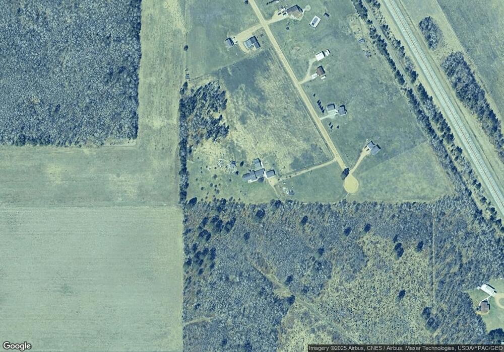
Map
Nearby Homes
- 1577 36th Ave SW
- TBD 12th Parcel 8 St SW
- TBD 32nd Ave SW
- 3895 Division St W
- 3851 Division St W
- TBD 12th Parcel 9 SW
- TBD State 87 SW
- TBD Sage Dr NW
- 1350 Big Bear Ln SW
- 363 Pine Acres Trail NW
- TBD 20th St. SW 20th Street South W
- #27 State Highway 371 NW
- #7 State Highway 371 NW
- #27 TBD State Highway 371 NW
- 123 King St S
- 114 Washburn Ave W
- 216 Hazel St N
- TBD 22nd St SW
- Track A Highway 87
- 1863 Foxtail Ln SW
- 949 Bluebird Nest Ln SW
- 932 Bluebird Nest Ln SW
- 932 Bluebird Nest Ln SW
- 946 Bluebird Nest Ln SW
- 946 946 Bluebird Nest Ln SW
- 932 932 Bluebird Nest-Lane-sw
- 909 909 Bluebird Nest-Lane-sw
- 909 Bluebird Nest Ln SW
- 924 Bluebird Nest Ln SW
- 910 Bluebird Nest Ln SW
- 898 Bluebird Nest Ln SW
- 893 Bluebird Nest Ln SW
- XXX 42nd Ave SW
- 1021 State 371 SW
- c State 371
- XXXX SE 8th St
- 851 State 371 SW
- 1023 State 371 SW
- 1020 State 371 SW
- 1020 State 371 SW