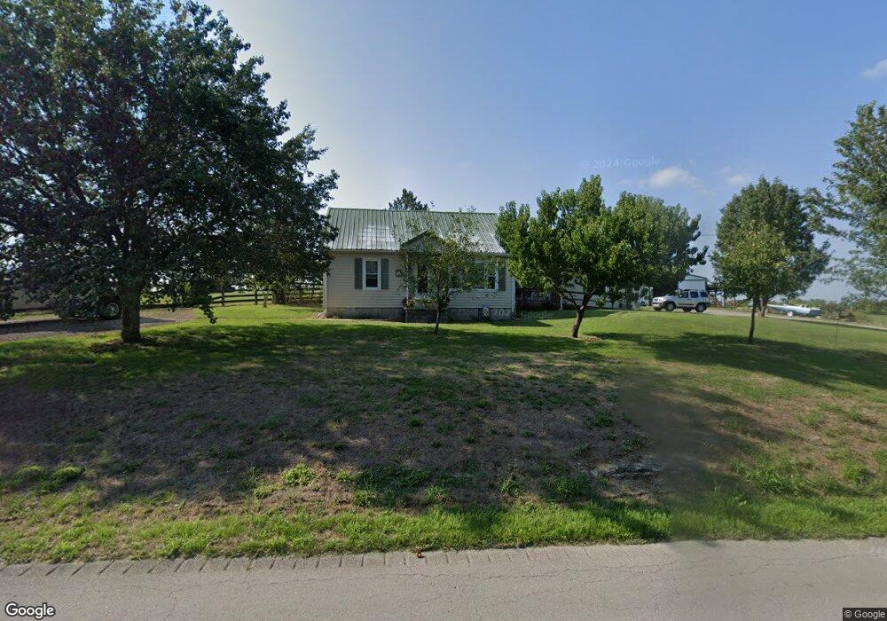
949 Cummins Ferry Rd Salvisa, KY 40372
Estimated Value: $302,638 - $407,000
3
Beds
2
Baths
2,332
Sq Ft
$144/Sq Ft
Est. Value
About This Home
This home is located at 949 Cummins Ferry Rd, Salvisa, KY 40372 and is currently estimated at $335,910, approximately $144 per square foot. 949 Cummins Ferry Rd is a home located in Mercer County with nearby schools including Mercer County Elementary School, Mercer County Intermediate School, and King Middle School.
Ownership History
Date
Name
Owned For
Owner Type
Purchase Details
Closed on
Aug 29, 2016
Sold by
Perry Carla R
Bought by
Higley Daniel and Higley Sue
Current Estimated Value
Purchase Details
Closed on
Jul 11, 2008
Sold by
Moberly Ricky L and Moberly Timalyn S
Bought by
Perry Carla R
Home Financials for this Owner
Home Financials are based on the most recent Mortgage that was taken out on this home.
Original Mortgage
$75,000
Interest Rate
6.27%
Create a Home Valuation Report for This Property
The Home Valuation Report is an in-depth analysis detailing your home's value as well as a comparison with similar homes in the area
Home Values in the Area
Average Home Value in this Area
Purchase History
| Date | Buyer | Sale Price | Title Company |
|---|---|---|---|
| Higley Daniel | $155,000 | Attorney | |
| Perry Carla R | $155,000 | -- |
Source: Public Records
Mortgage History
| Date | Status | Borrower | Loan Amount |
|---|---|---|---|
| Previous Owner | Perry Carla R | $75,000 |
Source: Public Records
Tax History Compared to Growth
Tax History
| Year | Tax Paid | Tax Assessment Tax Assessment Total Assessment is a certain percentage of the fair market value that is determined by local assessors to be the total taxable value of land and additions on the property. | Land | Improvement |
|---|---|---|---|---|
| 2024 | $2,195 | $183,672 | $31,700 | $151,972 |
| 2023 | $2,215 | $183,672 | $0 | $0 |
| 2022 | $2,170 | $183,672 | $0 | $0 |
| 2021 | $2,184 | $183,672 | $0 | $0 |
| 2020 | $1,835 | $155,000 | $31,700 | $123,300 |
| 2019 | $1,863 | $155,000 | $31,700 | $123,300 |
| 2018 | $1,821 | $155,000 | $0 | $0 |
| 2017 | $1,759 | $155,000 | $0 | $0 |
| 2016 | $1,727 | $155,000 | $0 | $0 |
| 2015 | $1,678 | $155,000 | $31,700 | $123,300 |
| 2014 | $1,678 | $155,000 | $31,700 | $123,300 |
| 2010 | -- | $155,000 | $31,700 | $123,300 |
Source: Public Records
Map
Nearby Homes
- 110 Station Dr
- 143 Providence Rd
- 3062 Louisville Rd
- 125 Talmage-Mayo Rd
- 110 Gracelynn Cir
- 280 Talmage Mayo Rd
- 151 Man-O-war Dr
- 155 Man-O-war Dr
- 127 Man-O-war Dr
- 2309 Oregon Rd
- 3890 Oregon Rd
- 3540 Oregon Rd
- 4560 Louisville Rd
- 236 Main St
- 4605 Oregon Rd
- 241 Cottonwood St
- Tract 3 Cole Rd
- Tract 3a Cole Rd
- 2315 Oregon Rd
- 5400 Louisville Rd
- 974 Cummins Ferry Rd
- 1026 Cummins Ferry Rd
- 1000 Cummins Ferry Rd
- 1636 Cummins Ferry Rd
- 1620 Cummins Ferry Rd
- 925 Cummins Ferry Rd
- 884 Cummins Ferry Rd
- 1225 Harvey Pike
- 1161 Harvey Pike
- 891 Cummins Ferry Rd
- 1075 Harvey Pike
- 1285 Harvey Pike
- 991 Harvey Pike
- 1222 Harvey Pike
- 1289 Harvey Pike
- 1197 Cummins Ferry Rd
- 1150 Harvey Pike
- 1130 Harvey Pike
- 1293 Harvey Pike
- 1220 Harvey Pike