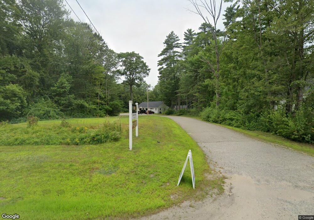
949 Whittier Hwy Moultonborough, NH 03254
Estimated Value: $661,853
--
Bed
1
Bath
6,004
Sq Ft
$110/Sq Ft
Est. Value
About This Home
This home is located at 949 Whittier Hwy, Moultonborough, NH 03254 and is currently estimated at $661,853, approximately $110 per square foot. 949 Whittier Hwy is a home located in Carroll County with nearby schools including Moultonborough Central School and Moultonborough Academy High School.
Ownership History
Date
Name
Owned For
Owner Type
Purchase Details
Closed on
Dec 15, 2020
Sold by
Henley Holdings Group Llc
Bought by
Fox 3 Properties Llc
Current Estimated Value
Home Financials for this Owner
Home Financials are based on the most recent Mortgage that was taken out on this home.
Original Mortgage
$243,750
Outstanding Balance
$217,397
Interest Rate
2.8%
Mortgage Type
New Conventional
Estimated Equity
$444,456
Purchase Details
Closed on
May 28, 2004
Sold by
Red Hill Health Ctr Pa
Bought by
Mcdaniel Robert E and Mcdaniel Laurie A
Create a Home Valuation Report for This Property
The Home Valuation Report is an in-depth analysis detailing your home's value as well as a comparison with similar homes in the area
Home Values in the Area
Average Home Value in this Area
Purchase History
| Date | Buyer | Sale Price | Title Company |
|---|---|---|---|
| Fox 3 Properties Llc | $375,000 | None Available | |
| Fox 3 Properties Llc | $375,000 | None Available | |
| Mcdaniel Robert E | $192,000 | -- | |
| Mcdaniel Robert E | $192,000 | -- |
Source: Public Records
Mortgage History
| Date | Status | Borrower | Loan Amount |
|---|---|---|---|
| Open | Fox 3 Properties Llc | $243,750 | |
| Closed | Fox 3 Properties Llc | $243,750 |
Source: Public Records
Tax History Compared to Growth
Tax History
| Year | Tax Paid | Tax Assessment Tax Assessment Total Assessment is a certain percentage of the fair market value that is determined by local assessors to be the total taxable value of land and additions on the property. | Land | Improvement |
|---|---|---|---|---|
| 2024 | $2,668 | $472,300 | $133,600 | $338,700 |
| 2023 | $2,405 | $421,900 | $109,300 | $312,600 |
| 2022 | $1,744 | $364,900 | $109,300 | $255,600 |
| 2021 | $2,012 | $288,300 | $109,300 | $179,000 |
| 2020 | $1,999 | $280,400 | $109,300 | $171,100 |
| 2019 | $1,949 | $272,600 | $109,600 | $163,000 |
| 2018 | $2,051 | $265,700 | $109,600 | $156,100 |
| 2017 | $2,142 | $260,600 | $109,600 | $151,000 |
| 2016 | $2,278 | $260,600 | $109,600 | $151,000 |
| 2015 | $2,317 | $257,200 | $111,500 | $145,700 |
| 2014 | $2,298 | $259,400 | $111,500 | $147,900 |
| 2013 | $2,325 | $267,500 | $111,500 | $156,000 |
Source: Public Records
Map
Nearby Homes
- 2 Garland Pond Rd
- 0 Garland Pond Rd Unit 76
- 44-22 Lincoln Dr
- 17 Whitehouse Farm Ln
- 11 Harriet Ln
- 69 Buoniello Rd
- M:027 L:002-001 Sheridan Rd
- M:027 L:002 Sheridan Rd
- 139 Skyline Dr
- 107 Governor Wentworth Hwy
- 0 Moose Walk
- 647 Whittier Hwy
- 28 Moose Walk
- 19 Abenaki Ln
- 2 Little Badger Island
- 24 Sunrise Dr
- 100 Marvin Rd
- 525 Whittier Hwy
- 37 Mayflower Ln
- 1350 Whittier Hwy
- 953 Whittier Hwy
- 950 Whittier Hwy
- 959 Whittier Hwy Unit 5
- 959 Whittier Hwy Unit 6
- 959 Whittier Hwy Unit 2
- 959 Whittier Hwy Unit 8
- 959 Whittier Hwy
- 959 Whittier Hwy Unit Winnipesaukee Commons Unit #4
- 959 Whittier Hwy Unit 4
- 929 Whittier Hwy
- 961 Whittier Hwy
- 3 Blake Rd
- 937 Whittier Hwy
- 915 Whittier Hwy
- 913 Whittier Hwy
- 970 Whittier Hwy
- 977 Whittier Hwy
- 33 Blake Rd
- 12 Blake Rd
- 43 Blake Rd