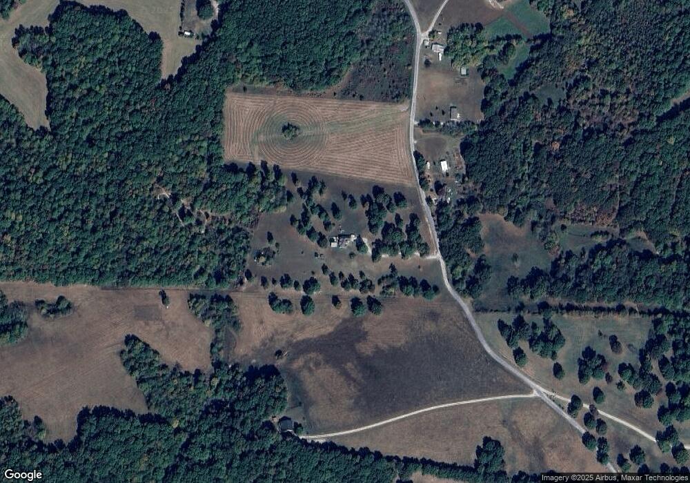
9492 Hodge Rd Mount Pleasant, TN 38474
Estimated Value: $314,000 - $485,000
--
Bed
3
Baths
2,537
Sq Ft
$160/Sq Ft
Est. Value
About This Home
This home is located at 9492 Hodge Rd, Mount Pleasant, TN 38474 and is currently estimated at $405,847, approximately $159 per square foot. 9492 Hodge Rd is a home located in Giles County with nearby schools including J.E. Woody Elementary School, Mt. Pleasant Middle School of the Visual & Performing Arts, and Mt. Pleasant High School.
Ownership History
Date
Name
Owned For
Owner Type
Purchase Details
Closed on
Jul 1, 1999
Sold by
Burley Bruce
Bought by
Storey Scott and Storey Sabrina
Current Estimated Value
Home Financials for this Owner
Home Financials are based on the most recent Mortgage that was taken out on this home.
Original Mortgage
$132,050
Outstanding Balance
$36,609
Interest Rate
7.43%
Estimated Equity
$369,238
Purchase Details
Closed on
Oct 19, 1991
Bought by
Burley Bruce and Burley Michele
Purchase Details
Closed on
Dec 6, 1989
Bought by
Stone Michael R
Create a Home Valuation Report for This Property
The Home Valuation Report is an in-depth analysis detailing your home's value as well as a comparison with similar homes in the area
Home Values in the Area
Average Home Value in this Area
Purchase History
| Date | Buyer | Sale Price | Title Company |
|---|---|---|---|
| Storey Scott | $139,000 | -- | |
| Burley Bruce | $15,000 | -- | |
| Stone Michael R | $4,000 | -- |
Source: Public Records
Mortgage History
| Date | Status | Borrower | Loan Amount |
|---|---|---|---|
| Open | Stone Michael R | $132,050 |
Source: Public Records
Tax History Compared to Growth
Tax History
| Year | Tax Paid | Tax Assessment Tax Assessment Total Assessment is a certain percentage of the fair market value that is determined by local assessors to be the total taxable value of land and additions on the property. | Land | Improvement |
|---|---|---|---|---|
| 2025 | $1,219 | $61,350 | $0 | $0 |
| 2024 | $1,219 | $61,350 | $5,875 | $55,475 |
| 2023 | $1,219 | $61,350 | $5,875 | $55,475 |
| 2022 | $1,219 | $61,350 | $5,875 | $55,475 |
| 2021 | $1,128 | $39,925 | $4,650 | $35,275 |
| 2020 | $1,128 | $39,925 | $4,650 | $35,275 |
| 2019 | $1,128 | $39,925 | $4,650 | $35,275 |
| 2018 | $1,128 | $39,925 | $4,650 | $35,275 |
| 2017 | $1,128 | $39,925 | $4,650 | $35,275 |
| 2016 | $1,201 | $40,425 | $5,050 | $35,375 |
| 2015 | $1,120 | $40,425 | $5,050 | $35,375 |
| 2014 | $1,120 | $40,421 | $0 | $0 |
Source: Public Records
Map
Nearby Homes
- 0 Hodge Rd
- 9496 Elk Ridge Rd
- 8771 Dog Branch Rd
- 8663 Dog Branch Rd
- 8870 William and Earl Rd
- 965 Flag Springs Rd
- 252 Dukes Park Rd
- 0 Howell Rd Unit RTC2967875
- 16700 Campbellsville Rd
- 141 Lauren Ln
- 0 Lauren Ln
- 193 N Old Military Rd
- 0 Crawley Hill Rd Unit RTC3012552
- 8475 Crawley Hill Rd
- 2071 Preacher Holt Rd
- 1112 Dugout Rd
- 1166 Dugout Rd
- 1072 Dugout Rd
- 0 Campbellsville Rd
- 5 Carol Rd
