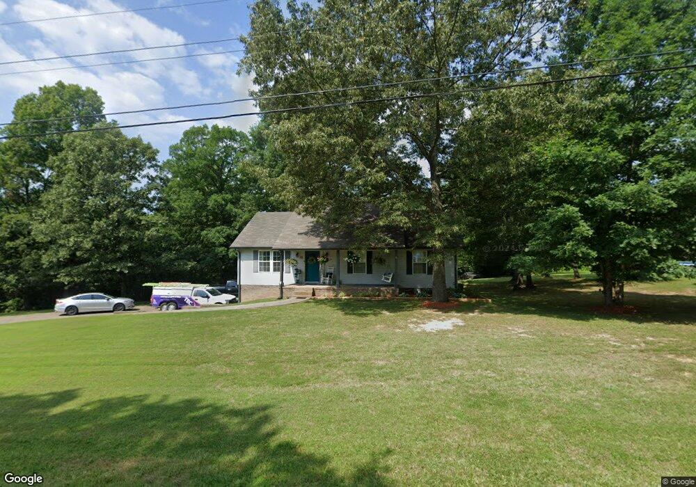
95 Carl Taylor Rd Tennessee Ridge, TN 37178
Estimated Value: $229,761 - $325,000
--
Bed
2
Baths
1,372
Sq Ft
$198/Sq Ft
Est. Value
About This Home
This home is located at 95 Carl Taylor Rd, Tennessee Ridge, TN 37178 and is currently estimated at $271,690, approximately $198 per square foot. 95 Carl Taylor Rd is a home located in Houston County.
Ownership History
Date
Name
Owned For
Owner Type
Purchase Details
Closed on
Jun 25, 2003
Bought by
Rucker Patrick and Rucker Leslie
Current Estimated Value
Purchase Details
Closed on
Apr 24, 1998
Bought by
Mathis Danny and Mathis Ann
Purchase Details
Closed on
Dec 7, 1995
Bought by
Sine Gunson E and Sine Wanda C
Purchase Details
Closed on
Sep 26, 1995
Bought by
Rye Cass S
Purchase Details
Closed on
Jan 15, 1973
Bought by
Kronenberg Catherine
Create a Home Valuation Report for This Property
The Home Valuation Report is an in-depth analysis detailing your home's value as well as a comparison with similar homes in the area
Home Values in the Area
Average Home Value in this Area
Purchase History
| Date | Buyer | Sale Price | Title Company |
|---|---|---|---|
| Rucker Patrick | $120,000 | -- | |
| Mathis Danny | $75,000 | -- | |
| Sine Gunson E | $10,500 | -- | |
| Rye Cass S | $4,700 | -- | |
| Kronenberg Catherine | -- | -- |
Source: Public Records
Tax History Compared to Growth
Tax History
| Year | Tax Paid | Tax Assessment Tax Assessment Total Assessment is a certain percentage of the fair market value that is determined by local assessors to be the total taxable value of land and additions on the property. | Land | Improvement |
|---|---|---|---|---|
| 2024 | $1,023 | $57,500 | $2,550 | $54,950 |
| 2023 | $1,023 | $57,500 | $2,550 | $54,950 |
| 2022 | $910 | $32,525 | $1,750 | $30,775 |
| 2021 | $910 | $32,525 | $1,750 | $30,775 |
| 2020 | $1,014 | $32,525 | $1,750 | $30,775 |
| 2019 | $1,014 | $31,775 | $2,500 | $29,275 |
| 2018 | $1,014 | $31,775 | $2,500 | $29,275 |
| 2017 | $1,014 | $31,775 | $2,500 | $29,275 |
| 2016 | $1,014 | $31,775 | $2,500 | $29,275 |
| 2015 | $1,014 | $31,775 | $2,500 | $29,275 |
| 2014 | -- | $31,765 | $0 | $0 |
Source: Public Records
Map
Nearby Homes
- 0 Carl Taylor Rd
- 0 Taylor St Unit RTC2764411
- 0 Taylor St Unit RTC2764420
- 0 Taylor St Unit RTC2764418
- 0 Taylor St Unit RTC2764423
- 0 Taylor St Unit RTC2764415
- 110 Peachtree St
- 155 Rolling Hills Dr
- 745 Moore Hollow Rd
- 550 Lakeview Cir
- 630 Lakeview Cir
- 0 Main St N Unit RTC2988796
- 0 Main St N Unit RTC3003416
- 0 Main St N Unit RTC2987692
- 0 Main St N Unit RTC2988794
- 0 Main St N Unit RTC2988130
- 0 Main St N Unit RTC2988128
- 0 Main St N Unit RTC2987687
- 0 Main St N Unit RTC2988129
- 0 Main St N Unit RTC2988126
- 2275 Hurricane Loop
- 135 Carl Taylor Rd
- 55 Carl Taylor Rd
- 100 Carl Taylor Rd
- 150 Carl Taylor Rd
- 40 Carl Taylor Rd
- 2205 Hurricane Loop
- 175 Carl Taylor Rd
- 2334 Hurricane Loop
- 0 Hurricane Loop
- 1 Carl Taylor Rd
- 190 Carl Taylor Rd
- 2385 Hurricane Loop
- 2 Ridgeview Estates
- 1 Ridgeview Estates
- 220 Carl Taylor Rd
- 2330 Hurricane Loop
- 235 Carl Taylor Rd
- 2460 Hurricane Loop
- 2445 Hurricane Loop