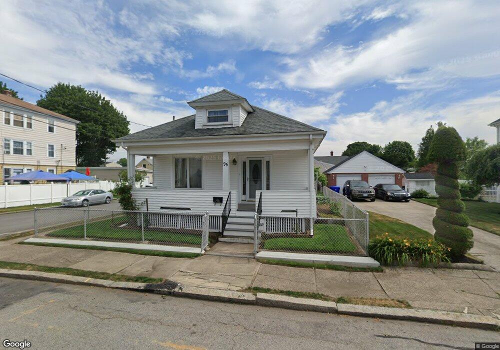
95 Carter Ave Pawtucket, RI 02861
Darlington NeighborhoodEstimated Value: $394,987 - $491,000
3
Beds
1
Bath
1,512
Sq Ft
$284/Sq Ft
Est. Value
About This Home
This home is located at 95 Carter Ave, Pawtucket, RI 02861 and is currently estimated at $429,747, approximately $284 per square foot. 95 Carter Ave is a home located in Providence County with nearby schools including St Cecilia School, Saint Teresa Catholic Elementary School, and Saint Raphael Academy.
Ownership History
Date
Name
Owned For
Owner Type
Purchase Details
Closed on
Aug 30, 2007
Sold by
Decelles Joan T and Labounty Joan T
Bought by
Aguiar Michael
Current Estimated Value
Home Financials for this Owner
Home Financials are based on the most recent Mortgage that was taken out on this home.
Original Mortgage
$300,800
Outstanding Balance
$190,062
Interest Rate
6.71%
Mortgage Type
Purchase Money Mortgage
Estimated Equity
$239,685
Create a Home Valuation Report for This Property
The Home Valuation Report is an in-depth analysis detailing your home's value as well as a comparison with similar homes in the area
Home Values in the Area
Average Home Value in this Area
Purchase History
| Date | Buyer | Sale Price | Title Company |
|---|---|---|---|
| Aguiar Michael | $320,000 | -- |
Source: Public Records
Mortgage History
| Date | Status | Borrower | Loan Amount |
|---|---|---|---|
| Open | Aguiar Michael | $300,800 |
Source: Public Records
Tax History
| Year | Tax Paid | Tax Assessment Tax Assessment Total Assessment is a certain percentage of the fair market value that is determined by local assessors to be the total taxable value of land and additions on the property. | Land | Improvement |
|---|---|---|---|---|
| 2025 | $4,860 | $369,600 | $139,400 | $230,200 |
| 2024 | $4,561 | $369,600 | $139,400 | $230,200 |
| 2023 | $4,420 | $260,900 | $73,600 | $187,300 |
| 2022 | $4,326 | $260,900 | $73,600 | $187,300 |
| 2021 | $4,326 | $260,900 | $73,600 | $187,300 |
| 2020 | $4,023 | $192,600 | $61,300 | $131,300 |
| 2019 | $4,023 | $192,600 | $61,300 | $131,300 |
| 2018 | $3,877 | $192,600 | $61,300 | $131,300 |
| 2017 | $3,465 | $152,500 | $47,000 | $105,500 |
| 2016 | $3,338 | $152,500 | $47,000 | $105,500 |
| 2015 | $3,338 | $152,500 | $47,000 | $105,500 |
| 2014 | $3,235 | $140,300 | $47,000 | $93,300 |
Source: Public Records
Map
Nearby Homes
- 99 Carter Ave
- 87 Carter Ave
- 140 Rosemont Ave
- 105 Carter Ave
- 96 Carter Ave
- 98 Carter Ave
- 90 Carter Ave
- 115 Harcourt Ave
- 136 Rosemont Ave
- 139 Rosemont Ave
- 1 Elizabeth St
- 79 Carter Ave
- 109 Harcourt Ave
- 107 Carter Ave
- 107 Carter Ave Unit 2-F
- 107 Carter Ave Unit 2nd Front
- 107 Carter Ave Unit 2-R
- 106 Carter Ave
- 126 Rosemont Ave
- 135 Rosemont Ave
Your Personal Tour Guide
Ask me questions while you tour the home.