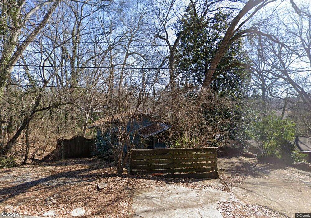
95 Carter St Athens, GA 30606
Baxter NeighborhoodEstimated Value: $213,000 - $272,000
2
Beds
1
Bath
900
Sq Ft
$266/Sq Ft
Est. Value
About This Home
This home is located at 95 Carter St, Athens, GA 30606 and is currently estimated at $239,033, approximately $265 per square foot. 95 Carter St is a home located in Clarke County with nearby schools including Bettye Henderson Holston Elementary School, Clarke Middle School, and Clarke Central High School.
Ownership History
Date
Name
Owned For
Owner Type
Purchase Details
Closed on
Aug 31, 2005
Sold by
Wooten Clyde W
Bought by
Kregal Lou
Current Estimated Value
Home Financials for this Owner
Home Financials are based on the most recent Mortgage that was taken out on this home.
Original Mortgage
$84,000
Interest Rate
5.77%
Mortgage Type
New Conventional
Purchase Details
Closed on
Mar 30, 2001
Sold by
Rogers John W
Bought by
Wooten Clyde W
Purchase Details
Closed on
May 7, 1999
Sold by
Hendricks Mamie Joe
Bought by
Rogers John W
Purchase Details
Closed on
Dec 31, 1995
Sold by
Moon Emma
Bought by
Hendricks Mamie Joe
Purchase Details
Closed on
Mar 3, 1992
Sold by
Moon Willie
Bought by
Moon Emma
Create a Home Valuation Report for This Property
The Home Valuation Report is an in-depth analysis detailing your home's value as well as a comparison with similar homes in the area
Home Values in the Area
Average Home Value in this Area
Purchase History
| Date | Buyer | Sale Price | Title Company |
|---|---|---|---|
| Kregal Lou | $105,000 | -- | |
| Wooten Clyde W | $66,900 | -- | |
| Rogers John W | $22,000 | -- | |
| Hendricks Mamie Joe | -- | -- | |
| Moon Emma | -- | -- |
Source: Public Records
Mortgage History
| Date | Status | Borrower | Loan Amount |
|---|---|---|---|
| Closed | Kregal Lou | $84,000 |
Source: Public Records
Tax History
| Year | Tax Paid | Tax Assessment Tax Assessment Total Assessment is a certain percentage of the fair market value that is determined by local assessors to be the total taxable value of land and additions on the property. | Land | Improvement |
|---|---|---|---|---|
| 2025 | $1,677 | $82,826 | $16,000 | $66,826 |
| 2024 | $1,677 | $76,148 | $15,000 | $61,148 |
| 2023 | $473 | $73,821 | $15,000 | $58,821 |
| 2022 | $1,621 | $60,806 | $15,000 | $45,806 |
| 2021 | $1,352 | $50,122 | $15,000 | $35,122 |
| 2020 | $1,037 | $40,762 | $8,000 | $32,762 |
| 2019 | $815 | $33,998 | $8,000 | $25,998 |
| 2018 | $560 | $26,492 | $6,000 | $20,492 |
| 2017 | $448 | $23,189 | $6,000 | $17,189 |
| 2016 | $432 | $22,717 | $6,000 | $16,717 |
| 2015 | $310 | $19,099 | $6,000 | $13,099 |
| 2014 | $311 | $19,099 | $6,000 | $13,099 |
Source: Public Records
Map
Nearby Homes
- 277 Evans St
- 1055 Baxter St Unit 506
- 1075 Baxter St Unit A306
- 1075 Baxter St Unit A304
- 206 Fortson Dr
- 112 Fortson Dr
- 1226 W Broad St
- 105 Magnolia Terrace
- 145 Sunset Dr
- 1198 W West Hancock Ave W
- 935 Baxter St Unit 3
- 1196 W Hancock Ave Unit 1
- 265 Springdale St
- 215 Holman Ave
- 480 N Billups St
- 271 King Ave
- 362 W Cloverhurst Ave
- 923 Hill St
- 834 Hill St
- 458 Dearing St
- 180 Carter St
- 145 Carter St
- 28 Fuller St
- 28/28.5 Fuller St
- 85 Carter St
- lot 44 Carter St
- 175 Carter St
- 965 Waddell St
- 969 Waddell St
- 105 Carter St
- 971 Waddell St
- 968 Waddell St
- 55 Fuller St
- 58 Fuller St
- 54 Fuller St
- 970 Waddell St
- 570 Fuller St
- 1000 Henderson Extension
- 56 Fuller St
- 909 Henderson Extension
Your Personal Tour Guide
Ask me questions while you tour the home.