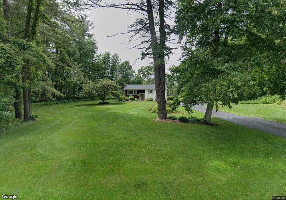
95 Colburn Rd Charlton, MA 01507
Estimated Value: $458,393 - $498,000
3
Beds
1
Bath
1,635
Sq Ft
$294/Sq Ft
Est. Value
About This Home
This home is located at 95 Colburn Rd, Charlton, MA 01507 and is currently estimated at $481,098, approximately $294 per square foot. 95 Colburn Rd is a home located in Worcester County with nearby schools including Shepherd Hill Regional High School.
Ownership History
Date
Name
Owned For
Owner Type
Purchase Details
Closed on
Aug 19, 2022
Sold by
Howard-Donlin Matthew P and Howard-Donlin Grace L
Bought by
Howard Rt and Donlin
Current Estimated Value
Purchase Details
Closed on
Feb 6, 1963
Bought by
Howard Edward G and Howard Carol A
Create a Home Valuation Report for This Property
The Home Valuation Report is an in-depth analysis detailing your home's value as well as a comparison with similar homes in the area
Home Values in the Area
Average Home Value in this Area
Purchase History
| Date | Buyer | Sale Price | Title Company |
|---|---|---|---|
| Howard Rt | -- | None Available | |
| Howard Rt | -- | None Available | |
| Howard-Donlin Matthew P | -- | None Available | |
| Howard-Donlin Matthew P | -- | None Available | |
| Howard Edward G | -- | -- |
Source: Public Records
Mortgage History
| Date | Status | Borrower | Loan Amount |
|---|---|---|---|
| Previous Owner | Howard Edward G | $100,000 | |
| Previous Owner | Howard Edward G | $82,000 |
Source: Public Records
Tax History Compared to Growth
Tax History
| Year | Tax Paid | Tax Assessment Tax Assessment Total Assessment is a certain percentage of the fair market value that is determined by local assessors to be the total taxable value of land and additions on the property. | Land | Improvement |
|---|---|---|---|---|
| 2025 | $3,979 | $357,500 | $97,500 | $260,000 |
| 2024 | $3,928 | $346,400 | $97,100 | $249,300 |
| 2023 | $3,834 | $315,000 | $92,000 | $223,000 |
| 2022 | $3,672 | $276,300 | $83,500 | $192,800 |
| 2021 | $3,592 | $239,300 | $79,300 | $160,000 |
| 2020 | $3,530 | $236,300 | $76,300 | $160,000 |
| 2019 | $3,490 | $236,300 | $76,300 | $160,000 |
| 2018 | $3,190 | $236,300 | $76,300 | $160,000 |
| 2017 | $2,902 | $205,800 | $70,300 | $135,500 |
| 2016 | $2,836 | $205,800 | $70,300 | $135,500 |
| 2015 | $2,709 | $201,900 | $70,300 | $131,600 |
| 2014 | $2,718 | $214,700 | $72,900 | $141,800 |
Source: Public Records
Map
Nearby Homes
- 58 Colburn Rd
- 0 Partridge Hill Rd
- 0 Freeman Rd Unit 73369281
- 2 Lelandville Rd
- 3 Lelandville Rd
- 65 Haggerty Rd
- 76 Number 6 Schoolhouse Rd
- 2 Potter Village Rd
- 18 Mckinstry Dr
- 13 Boucher Dr
- 20 Drury Ln
- 91 Burlingame Rd
- 16 Sandersdale Rd
- 18 Old Worcester Rd
- 7 L Stevens Rd Unit A
- 7 L Stevens Rd Unit B
- 44 Buffum Rd
- 8 Northside Rd
- 0 Blood Rd
- 25 N Main St Unit A