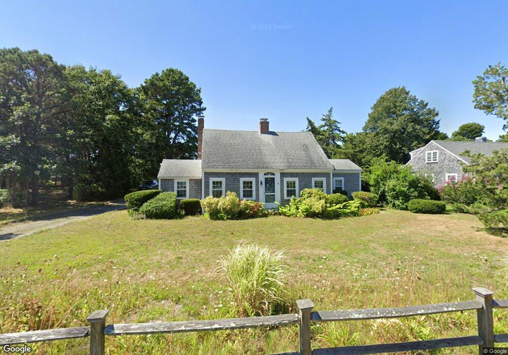
95 Division St Dennis Port, MA 02639
Dennis Port NeighborhoodEstimated Value: $566,000 - $688,000
3
Beds
2
Baths
1,001
Sq Ft
$624/Sq Ft
Est. Value
About This Home
This home is located at 95 Division St, Dennis Port, MA 02639 and is currently estimated at $624,266, approximately $623 per square foot. 95 Division St is a home located in Barnstable County with nearby schools including Dennis-Yarmouth Regional High School and St. Pius X. School.
Ownership History
Date
Name
Owned For
Owner Type
Purchase Details
Closed on
Jul 21, 1998
Sold by
Rock Susan N
Bought by
Vacca Michael L
Current Estimated Value
Home Financials for this Owner
Home Financials are based on the most recent Mortgage that was taken out on this home.
Original Mortgage
$118,800
Interest Rate
6.98%
Mortgage Type
Purchase Money Mortgage
Create a Home Valuation Report for This Property
The Home Valuation Report is an in-depth analysis detailing your home's value as well as a comparison with similar homes in the area
Home Values in the Area
Average Home Value in this Area
Purchase History
| Date | Buyer | Sale Price | Title Company |
|---|---|---|---|
| Vacca Michael L | $132,000 | -- |
Source: Public Records
Mortgage History
| Date | Status | Borrower | Loan Amount |
|---|---|---|---|
| Open | Vacca Michael L | $191,250 | |
| Closed | Vacca Michael L | $109,000 | |
| Closed | Vacca Michael L | $118,800 |
Source: Public Records
Tax History Compared to Growth
Tax History
| Year | Tax Paid | Tax Assessment Tax Assessment Total Assessment is a certain percentage of the fair market value that is determined by local assessors to be the total taxable value of land and additions on the property. | Land | Improvement |
|---|---|---|---|---|
| 2025 | $2,521 | $582,200 | $220,000 | $362,200 |
| 2024 | $2,404 | $547,600 | $211,600 | $336,000 |
| 2023 | $2,327 | $498,200 | $192,400 | $305,800 |
| 2022 | $2,238 | $399,700 | $173,300 | $226,400 |
| 2021 | $5,866 | $349,700 | $169,900 | $179,800 |
| 2020 | $1,992 | $326,500 | $156,800 | $169,700 |
| 2019 | $1,885 | $305,500 | $153,700 | $151,800 |
| 2018 | $3,094 | $302,100 | $158,500 | $143,600 |
| 2017 | $3,045 | $290,000 | $146,400 | $143,600 |
| 2016 | $1,792 | $274,400 | $152,400 | $122,000 |
| 2015 | $1,756 | $274,400 | $152,400 | $122,000 |
| 2014 | $1,603 | $252,500 | $134,200 | $118,300 |
Source: Public Records
Map
Nearby Homes
- 73 Division St
- 148 Belmont Rd
- 40 Willow St
- 159 Center St Unit 22
- 45 Route 28
- 26 Manning Rd
- 141 Division St
- 141 Division St
- 79 Massachusetts 28
- 221 Upper County Rd Unit 2A
- 221 Upper County Rd Unit 2A
- 47 Telegraph Rd Unit 1
- 3 Fairbanks Dr
- 12 Cross St
- 6 Bayberry Ln
- 9 Country Ln
- 12 Candlewood Ln Unit 2-9
- 166 Upper County Rd Unit 1-4
- 126 Massachusetts 28
- 1 Belmont Rd Unit 630