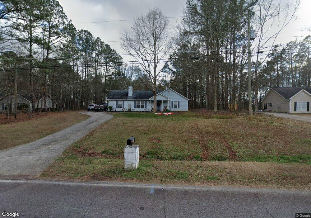
95 Duncan Rd Carrollton, GA 30116
Estimated Value: $215,000 - $287,000
3
Beds
2
Baths
1,320
Sq Ft
$199/Sq Ft
Est. Value
About This Home
This home is located at 95 Duncan Rd, Carrollton, GA 30116 and is currently estimated at $263,012, approximately $199 per square foot. 95 Duncan Rd is a home located in Carroll County with nearby schools including Roopville Elementary School, Central Middle School, and Central High School.
Ownership History
Date
Name
Owned For
Owner Type
Purchase Details
Closed on
May 31, 2018
Sold by
Feuvral
Bought by
Coleman Travis R
Current Estimated Value
Home Financials for this Owner
Home Financials are based on the most recent Mortgage that was taken out on this home.
Original Mortgage
$132,554
Outstanding Balance
$117,087
Interest Rate
5.5%
Mortgage Type
FHA
Estimated Equity
$145,925
Purchase Details
Closed on
Jun 30, 2016
Sold by
W D
Bought by
Wd Edge Testamen
Purchase Details
Closed on
Jan 16, 1996
Bought by
Edge William D
Purchase Details
Closed on
Mar 20, 1995
Bought by
Eason Fred
Create a Home Valuation Report for This Property
The Home Valuation Report is an in-depth analysis detailing your home's value as well as a comparison with similar homes in the area
Home Values in the Area
Average Home Value in this Area
Purchase History
| Date | Buyer | Sale Price | Title Company |
|---|---|---|---|
| Coleman Travis R | $135,000 | -- | |
| Wd Edge Testamen | -- | -- | |
| Edge William D | $74,900 | -- | |
| Eason Fred | $60,000 | -- |
Source: Public Records
Mortgage History
| Date | Status | Borrower | Loan Amount |
|---|---|---|---|
| Open | Coleman Travis R | $132,554 |
Source: Public Records
Tax History Compared to Growth
Tax History
| Year | Tax Paid | Tax Assessment Tax Assessment Total Assessment is a certain percentage of the fair market value that is determined by local assessors to be the total taxable value of land and additions on the property. | Land | Improvement |
|---|---|---|---|---|
| 2024 | $2,059 | $90,995 | $11,836 | $79,159 |
| 2023 | $2,058 | $82,326 | $9,469 | $72,857 |
| 2022 | $1,624 | $64,765 | $6,312 | $58,453 |
| 2021 | $1,442 | $56,234 | $5,050 | $51,184 |
| 2020 | $1,261 | $49,135 | $4,591 | $44,544 |
| 2019 | $1,173 | $45,320 | $4,591 | $40,729 |
| 2018 | $950 | $36,196 | $3,244 | $32,952 |
| 2017 | $953 | $36,196 | $3,244 | $32,952 |
| 2016 | $954 | $36,196 | $3,244 | $32,952 |
| 2015 | $239 | $36,376 | $5,000 | $31,376 |
| 2014 | $241 | $36,376 | $5,000 | $31,376 |
Source: Public Records
Map
Nearby Homes
- 103 Duncan Rd
- 83 Duncan Rd
- 115 Duncan Rd
- 69 Duncan Rd
- 96 Duncan Rd
- 96 Duncan Rd
- 51 Duncan Rd
- 2960 E Highway 5
- 2904 E Highway 5
- 54 Duncan Rd
- 120 Duncan Rd
- 32 Duncan Rd
- 157 Duncan Rd
- 3048 E Highway 5
- 160 Duncan Rd
- 2800 E Highway 5
- 00 Duncan Rd
- 0 Duncan Rd
- 0 Duncan Rd Unit 20043974
- 0 Duncan Rd Unit 7276438