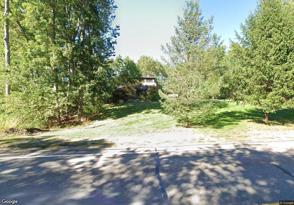
95 Great Rd Shirley, MA 01464
Estimated Value: $538,000 - $730,000
3
Beds
2
Baths
2,590
Sq Ft
$241/Sq Ft
Est. Value
About This Home
This home is located at 95 Great Rd, Shirley, MA 01464 and is currently estimated at $624,374, approximately $241 per square foot. 95 Great Rd is a home located in Middlesex County with nearby schools including Page Hilltop School, Lura A. White Elementary School, and Ayer Shirley Regional Middle School.
Ownership History
Date
Name
Owned For
Owner Type
Purchase Details
Closed on
Apr 18, 2017
Sold by
Casto Anthony V and Casto Kimberly A
Bought by
Casto Ft
Current Estimated Value
Purchase Details
Closed on
Jul 21, 1998
Sold by
Casilio Frank G and Casilio Ellen M
Bought by
Macdonald John M and Macdonald Jeanne F
Purchase Details
Closed on
Sep 26, 1995
Sold by
Kangas Ronald D and Kangas Shirley H
Bought by
Casilio Frank G and Casilio Ellen M
Purchase Details
Closed on
Jul 12, 1989
Sold by
Syriac Marion
Bought by
Wilhelm Ii Robert W
Create a Home Valuation Report for This Property
The Home Valuation Report is an in-depth analysis detailing your home's value as well as a comparison with similar homes in the area
Home Values in the Area
Average Home Value in this Area
Purchase History
| Date | Buyer | Sale Price | Title Company |
|---|---|---|---|
| Casto Ft | -- | -- | |
| Macdonald John M | $70,000 | -- | |
| Casilio Frank G | $70,000 | -- | |
| Wilhelm Ii Robert W | $177,000 | -- |
Source: Public Records
Mortgage History
| Date | Status | Borrower | Loan Amount |
|---|---|---|---|
| Previous Owner | Wilhelm Ii Robert W | $165,000 | |
| Previous Owner | Wilhelm Ii Robert W | $203,000 |
Source: Public Records
Tax History Compared to Growth
Tax History
| Year | Tax Paid | Tax Assessment Tax Assessment Total Assessment is a certain percentage of the fair market value that is determined by local assessors to be the total taxable value of land and additions on the property. | Land | Improvement |
|---|---|---|---|---|
| 2025 | $59 | $457,700 | $120,100 | $337,600 |
| 2024 | $5,733 | $422,500 | $109,500 | $313,000 |
| 2023 | $5,499 | $387,800 | $109,500 | $278,300 |
| 2022 | $5,207 | $336,400 | $102,400 | $234,000 |
| 2021 | $5,200 | $314,600 | $91,900 | $222,700 |
| 2020 | $4,947 | $307,100 | $91,900 | $215,200 |
| 2019 | $4,874 | $303,100 | $91,900 | $211,200 |
| 2018 | $4,640 | $282,600 | $86,200 | $196,400 |
| 2017 | $4,553 | $275,600 | $88,300 | $187,300 |
| 2016 | $4,567 | $276,600 | $88,300 | $188,300 |
| 2015 | $4,554 | $263,100 | $77,700 | $185,400 |
Source: Public Records
Map
Nearby Homes
- 124 Hazen Rd
- 49 Parker Rd
- 43 Longley Rd
- 83 Clark Rd Unit 41
- 84 Off Groton School Rd
- 22 Townsend Rd
- 25 Groton School Rd Unit 23
- 184 W Main St Unit B2
- 14 Brook St
- 65 W Main St
- 0ABC Park St
- 0 Lot D Park St
- 55 W Main St
- 45 Clark Rd
- 37 Pepperell Rd
- 3 Ambrose Way Unit 3
- 6 Ambrose Way Unit 3
- 19 Ambrose Way Unit 19
- 9 Ambrose Way Unit 9
- 1 Ambrose Way Unit 1