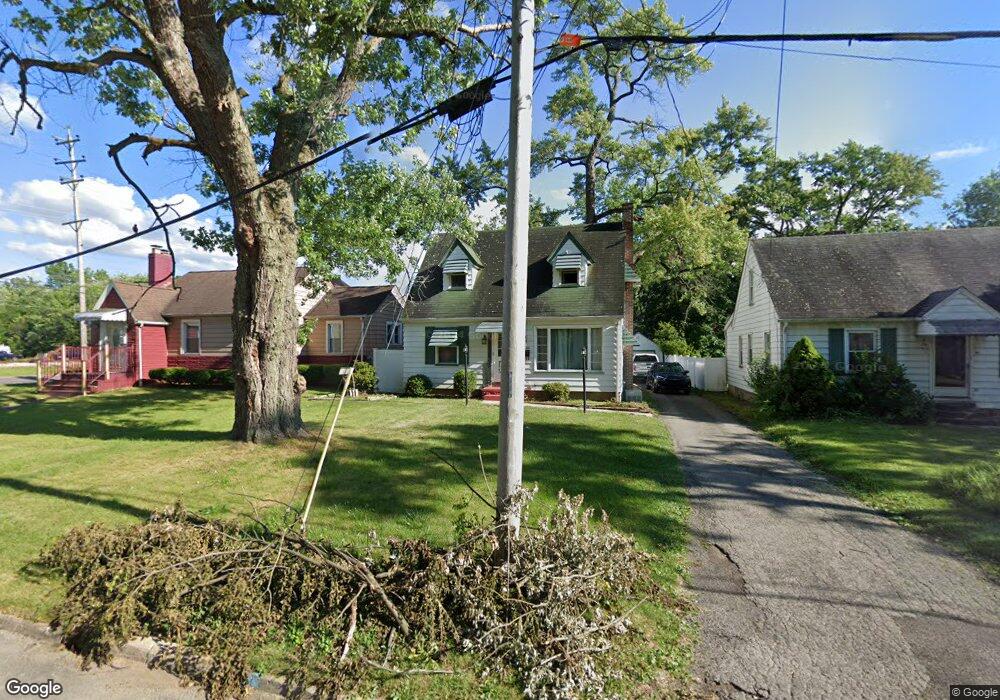
95 Leighton Ave Youngstown, OH 44512
Estimated Value: $102,000 - $122,000
2
Beds
1
Bath
1,160
Sq Ft
$96/Sq Ft
Est. Value
About This Home
This home is located at 95 Leighton Ave, Youngstown, OH 44512 and is currently estimated at $111,440, approximately $96 per square foot. 95 Leighton Ave is a home located in Mahoning County with nearby schools including Boardman Glenwood Junior High School, Boardman High School, and Horizon Science Academy - Youngstown.
Ownership History
Date
Name
Owned For
Owner Type
Purchase Details
Closed on
Dec 12, 2019
Sold by
Hoover Quinton F and Hoover Diana M
Bought by
Hoover Quinton F and Hoover Diana M
Current Estimated Value
Purchase Details
Closed on
Mar 7, 2000
Sold by
Shanahan William B
Bought by
Hoover Quinton F and Hoover Diana M
Purchase Details
Closed on
Jun 28, 1991
Bought by
Shanahan Wm B
Create a Home Valuation Report for This Property
The Home Valuation Report is an in-depth analysis detailing your home's value as well as a comparison with similar homes in the area
Home Values in the Area
Average Home Value in this Area
Purchase History
| Date | Buyer | Sale Price | Title Company |
|---|---|---|---|
| Hoover Quinton F | -- | None Available | |
| Hoover Quinton F | $49,500 | -- | |
| Shanahan Wm B | -- | -- |
Source: Public Records
Mortgage History
| Date | Status | Borrower | Loan Amount |
|---|---|---|---|
| Closed | Hoover Quinton F | $0 |
Source: Public Records
Tax History Compared to Growth
Tax History
| Year | Tax Paid | Tax Assessment Tax Assessment Total Assessment is a certain percentage of the fair market value that is determined by local assessors to be the total taxable value of land and additions on the property. | Land | Improvement |
|---|---|---|---|---|
| 2024 | $1,321 | $25,130 | $3,400 | $21,730 |
| 2023 | $1,304 | $25,130 | $3,400 | $21,730 |
| 2022 | $921 | $13,430 | $3,400 | $10,030 |
| 2021 | $922 | $13,430 | $3,400 | $10,030 |
| 2020 | $927 | $13,430 | $3,400 | $10,030 |
| 2019 | $935 | $11,780 | $2,980 | $8,800 |
| 2018 | $780 | $11,780 | $2,980 | $8,800 |
| 2017 | $763 | $11,780 | $2,980 | $8,800 |
| 2016 | $1,110 | $17,100 | $3,230 | $13,870 |
| 2015 | $1,088 | $17,100 | $3,230 | $13,870 |
| 2014 | $1,091 | $17,100 | $3,230 | $13,870 |
| 2013 | $1,077 | $17,100 | $3,230 | $13,870 |
Source: Public Records
Map
Nearby Homes
- 44 Gertrude Ave
- 197 Mathews Rd Unit B
- 149 Argyle Ave
- 6001 Applecrest Dr
- 0 Mathews Rd Unit 5038026
- 167 Afton Ave
- 103 Wildwood Dr
- 81 Melrose Ave
- 26 Marlindale Ave
- 127 Melrose Ave
- 169 Wolcott Dr
- 642 Oakridge Dr
- 329 Afton Ave
- 6511 Pembrooke Place
- 6785 Tanglewood Dr
- 235 Wolcott Dr
- 96 Aylesboro Ave
- 707 Oakridge Dr
- 6726 Glendale Ave
- 732 Forest Ridge Dr