95 Lower Flying Point Rd Freeport, ME 04032
Estimated Value: $1,872,000 - $5,182,067
5
Beds
6
Baths
4,045
Sq Ft
$807/Sq Ft
Est. Value
About This Home
This home is located at 95 Lower Flying Point Rd, Freeport, ME 04032 and is currently estimated at $3,263,517, approximately $806 per square foot. 95 Lower Flying Point Rd is a home located in Cumberland County with nearby schools including Morse Street School, Mast Landing School, and Freeport Middle School.
Ownership History
Date
Name
Owned For
Owner Type
Purchase Details
Closed on
Jun 25, 2012
Sold by
Williams Elmer S Est and Williams
Bought by
Saliba Nadia E
Current Estimated Value
Purchase Details
Closed on
Dec 7, 2011
Sold by
Williams Pauline V Est and Williams
Bought by
Williams Elmer S
Purchase Details
Closed on
Feb 19, 2008
Sold by
Coffin Jeffrey P and Coffin Carole A
Bought by
Stone Mariliz
Create a Home Valuation Report for This Property
The Home Valuation Report is an in-depth analysis detailing your home's value as well as a comparison with similar homes in the area
Home Values in the Area
Average Home Value in this Area
Purchase History
| Date | Buyer | Sale Price | Title Company |
|---|---|---|---|
| Saliba Nadia E | -- | -- | |
| Williams Elmer S | -- | -- | |
| Williams Elmer S | -- | -- | |
| Stone Mariliz | $1,001 | -- | |
| Saliba Nadia E | -- | -- | |
| Williams Elmer S | -- | -- | |
| Stone Mariliz | $1,001 | -- |
Source: Public Records
Mortgage History
| Date | Status | Borrower | Loan Amount |
|---|---|---|---|
| Previous Owner | Stone Mariliz | $2,240,000 |
Source: Public Records
Tax History Compared to Growth
Tax History
| Year | Tax Paid | Tax Assessment Tax Assessment Total Assessment is a certain percentage of the fair market value that is determined by local assessors to be the total taxable value of land and additions on the property. | Land | Improvement |
|---|---|---|---|---|
| 2024 | $28,441 | $2,130,400 | $970,400 | $1,160,000 |
| 2023 | $25,990 | $1,890,200 | $881,900 | $1,008,300 |
| 2022 | $24,526 | $1,796,800 | $788,500 | $1,008,300 |
| 2021 | $23,987 | $1,796,800 | $788,500 | $1,008,300 |
| 2020 | $23,233 | $1,659,500 | $730,100 | $929,400 |
| 2019 | $22,351 | $1,563,000 | $688,800 | $874,200 |
| 2018 | $21,815 | $1,449,500 | $640,300 | $809,200 |
| 2017 | $20,393 | $1,364,100 | $592,300 | $771,800 |
| 2016 | $19,598 | $1,240,400 | $528,000 | $712,400 |
| 2015 | $19,958 | $1,188,000 | $512,000 | $676,000 |
Source: Public Records
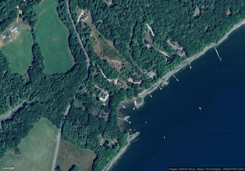
Map
Nearby Homes
- 83 Central Ave
- 71 Merganser Way
- 34 Newfield Rd
- 46 Blackstone Club Rd
- 853 Mere Point Rd
- 11 Orchard Hill Rd
- Map 80 Lot 18-0 White Island
- 15 Tinkers Way
- 1612 U S Route 1
- 26 Harvest Ridge Rd Unit 24
- 212 Main St
- 1260 Us Route 1
- 15 Percy St
- 10 Durham Rd
- 0 Gundalo Gap Rd Unit 1638108
- 0 Prout Rd
- 42 Durham Rd
- Lot 129 Harpswell Neck Rd
- 31 Allen Range Rd
- 41 Spruce Brook Dr
- 91 Lower Flying Point Rd
- 101 Lower Flying Point Rd
- 22 Brickyard Cove
- 113 Lower Flying Point Rd
- 42 Brickyard Cove Ln
- Lot 73D Lower Flying Point Rd
- 85 Lower Flying Point Rd
- 44 Brickyard Cove
- 123 Lower Flying Point Rd
- 75 Lower Flying Point Rd
- 73 Lower Flying Point Rd
- lot Brickyard Cove Ln
- 0 Brickyard Cove Ln
- 12 Brickyard Cove
- 54 Lower Flying Point Rd
- 2 Burnett Rd
- 151 Lower Flying Point Rd
- 40 Lower Flying Point Rd
- 12 Burnett Rd
- 165 Lower Flying Point Rd