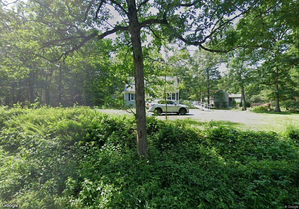
95 Mill St North Easton, MA 02356
Estimated Value: $594,000 - $757,000
3
Beds
2
Baths
1,591
Sq Ft
$414/Sq Ft
Est. Value
About This Home
This home is located at 95 Mill St, North Easton, MA 02356 and is currently estimated at $658,209, approximately $413 per square foot. 95 Mill St is a home located in Bristol County with nearby schools including Easton Middle School, St Mary's Catholic School, and Al-Noor Academy.
Ownership History
Date
Name
Owned For
Owner Type
Purchase Details
Closed on
Jun 4, 2023
Sold by
Gouveia Ft and Gouveia
Bought by
95 Mill St Rt and Gouveia
Current Estimated Value
Purchase Details
Closed on
Jun 19, 2012
Sold by
Gouveia Nelson E and Gouveia Joan M
Bought by
Gouveia Ft and Gouveia
Purchase Details
Closed on
Jun 13, 1967
Bought by
Gouveia Nelson E and Gouveia Joan M
Create a Home Valuation Report for This Property
The Home Valuation Report is an in-depth analysis detailing your home's value as well as a comparison with similar homes in the area
Home Values in the Area
Average Home Value in this Area
Purchase History
| Date | Buyer | Sale Price | Title Company |
|---|---|---|---|
| 95 Mill St Rt | -- | None Available | |
| 95 Mill St Rt | -- | None Available | |
| Gouveia Ft | -- | -- | |
| Gouveia Ft | -- | -- | |
| Gouveia Nelson E | -- | -- |
Source: Public Records
Mortgage History
| Date | Status | Borrower | Loan Amount |
|---|---|---|---|
| Previous Owner | Gouveia Nelson E | $20,000 |
Source: Public Records
Tax History Compared to Growth
Tax History
| Year | Tax Paid | Tax Assessment Tax Assessment Total Assessment is a certain percentage of the fair market value that is determined by local assessors to be the total taxable value of land and additions on the property. | Land | Improvement |
|---|---|---|---|---|
| 2025 | $6,926 | $555,000 | $373,100 | $181,900 |
| 2024 | $7,110 | $532,600 | $352,200 | $180,400 |
| 2023 | $7,143 | $489,600 | $352,200 | $137,400 |
| 2022 | $6,496 | $422,100 | $288,400 | $133,700 |
| 2021 | $6,144 | $396,900 | $263,200 | $133,700 |
| 2020 | $5,780 | $375,800 | $253,300 | $122,500 |
| 2019 | $5,631 | $352,800 | $250,800 | $102,000 |
| 2018 | $5,615 | $346,400 | $250,800 | $95,600 |
| 2017 | $5,499 | $339,000 | $250,800 | $88,200 |
| 2016 | $5,511 | $340,400 | $253,300 | $87,100 |
| 2015 | $4,915 | $292,900 | $206,900 | $86,000 |
| 2014 | $4,942 | $296,800 | $209,700 | $87,100 |
Source: Public Records
Map
Nearby Homes
- 29 Owl Ridge Rd
- 98 Massapoag Ave
- 4 Plantation Rd
- 89 Massapoag Ave
- 16 Erick Rd Unit 34
- 151 Stearns Ave
- 218 Massapoag Ave
- 34 Kevins Way
- 6 Erick Rd Unit 73
- 23 Estelle Marsan Dr
- 3 Cushing Ln
- 260 Massapoag Ave
- 55 Eastman St
- 631 East St Unit E203
- 157 Highland St
- 28 Heidi Rd
- 11 Hilltop Ln
- 36 Sierra Dr
- 261 East St
- 212 Mill St