95 Moon Lite Dr Cornish, NH 03745
Estimated Value: $416,000 - $467,352
2
Beds
3
Baths
1,820
Sq Ft
$245/Sq Ft
Est. Value
About This Home
This home is located at 95 Moon Lite Dr, Cornish, NH 03745 and is currently estimated at $445,838, approximately $244 per square foot. 95 Moon Lite Dr is a home located in Sullivan County with nearby schools including Cornish Elementary School and Foundations Upper Valley.
Ownership History
Date
Name
Owned For
Owner Type
Purchase Details
Closed on
Jun 20, 2006
Sold by
Hodgdon Lillian J
Bought by
Gilbert Christina M and Gonyea Christopher R
Current Estimated Value
Home Financials for this Owner
Home Financials are based on the most recent Mortgage that was taken out on this home.
Original Mortgage
$90,000
Interest Rate
6.62%
Mortgage Type
Purchase Money Mortgage
Create a Home Valuation Report for This Property
The Home Valuation Report is an in-depth analysis detailing your home's value as well as a comparison with similar homes in the area
Home Values in the Area
Average Home Value in this Area
Purchase History
| Date | Buyer | Sale Price | Title Company |
|---|---|---|---|
| Gilbert Christina M | $70,000 | -- |
Source: Public Records
Mortgage History
| Date | Status | Borrower | Loan Amount |
|---|---|---|---|
| Open | Gilbert Christina M | $183,000 | |
| Closed | Gilbert Christina M | $130,000 | |
| Closed | Gilbert Christina M | $90,000 |
Source: Public Records
Tax History
| Year | Tax Paid | Tax Assessment Tax Assessment Total Assessment is a certain percentage of the fair market value that is determined by local assessors to be the total taxable value of land and additions on the property. | Land | Improvement |
|---|---|---|---|---|
| 2025 | $6,524 | $377,093 | $126,293 | $250,800 |
| 2024 | $6,104 | $376,998 | $126,198 | $250,800 |
| 2023 | $5,841 | $222,671 | $96,871 | $125,800 |
| 2022 | $5,667 | $239,419 | $97,019 | $142,400 |
| 2021 | $5,441 | $239,565 | $97,165 | $142,400 |
| 2020 | $5,100 | $239,563 | $97,163 | $142,400 |
| 2019 | $4,676 | $239,546 | $97,146 | $142,400 |
| 2018 | $5,010 | $227,840 | $95,840 | $132,000 |
| 2017 | $4,734 | $219,991 | $95,791 | $124,200 |
| 2016 | $4,705 | $219,869 | $95,769 | $124,100 |
| 2015 | $5,053 | $219,811 | $95,711 | $124,100 |
| 2014 | $4,994 | $219,816 | $109,116 | $110,700 |
| 2013 | $4,795 | $228,638 | $112,438 | $116,200 |
Source: Public Records
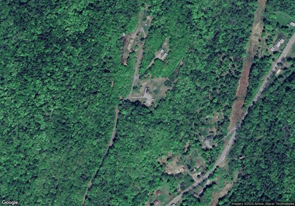
Map
Nearby Homes
- 528 Town House Rd
- 00 Tandy Brook Rd Unit 12
- 0 Town House Rd Unit 28
- 763 Center Rd
- 11 Cubb Ct
- 84 Cubb Ct
- 23 Cubb Ct
- 108 Cubb Ct
- 517 Back Mountain Rd
- 223 Taylor Dr
- 614 Redwater Brook Rd
- 66 Country Skyline Blvd
- 1507 New Hampshire 12a
- 19 Spruce Park Dr
- 16 Eric Place
- 9 Mccusker Place
- 412 Winter St
- 8 Laclair Dr
- 1928 Vermont 131
- 0 Hanover St Unit 1
- 97 Moon Lite Dr
- 560 Town House Rd
- 592 Town House Rd
- 512 Town House Rd
- 594 Town House Rd
- 606 Town House Rd
- 654 Town House Rd
- 523 Town House Rd
- 579 Town House Rd
- 599 Town House Rd
- 618 Town House Rd
- 607 Town House Rd
- 52 Dingleton Hill Rd
- 746 Town House Rd
- 628 Town House Rd
- 758 Town House Rd
- 511 Town House Rd
- 504 Town House Rd
- 728 Town House Rd
- 499 Town House Rd
Your Personal Tour Guide
Ask me questions while you tour the home.