95 Moon Lite Dr Cornish, NH 03745
Cornish AreaEstimated Value: $432,000 - $511,000
About This Home
This home is located at 95 Moon Lite Dr, Cornish, NH 03745 and is currently estimated at $465,719, approximately $255 per square foot. 95 Moon Lite Dr is a home located in Sullivan County with nearby schools including Cornish Elementary School and Foundations Upper Valley.
Ownership History
We collect this data history from publicly available records. To have your information removed, we recommend requesting removal directly through your county’s website.
Purchase Details
Home Financials for this Owner
Home Financials are based on the most recent Mortgage that was taken out on this home.Home Values in the Area
Average Home Value in this Area
Purchase History
We collect this data history from publicly available records. To have your information removed, we recommend requesting removal directly through your county’s website.
| Date | Buyer | Sale Price | Title Company |
|---|---|---|---|
| $70,000 | -- |
Mortgage History
We collect this data history from publicly available records. To have your information removed, we recommend requesting removal directly through your county’s website.
| Date | Status | Borrower | Loan Amount |
|---|---|---|---|
| Open | $183,000 | ||
| Closed | $130,000 | ||
| Closed | $90,000 |
Tax History
We collect this data history from publicly available records. To have your information removed, we recommend requesting removal directly through your county’s website.
| Year | Tax Paid | Tax Assessment Tax Assessment Total Assessment is a certain percentage of the fair market value that is determined by local assessors to be the total taxable value of land and additions on the property. | Land | Improvement |
|---|---|---|---|---|
| 2025 | $6,524 | $377,093 | $126,293 | $250,800 |
| 2024 | $6,104 | $376,998 | $126,198 | $250,800 |
| 2023 | $5,841 | $222,671 | $96,871 | $125,800 |
| 2022 | $5,667 | $239,419 | $97,019 | $142,400 |
| 2021 | $5,441 | $239,565 | $97,165 | $142,400 |
| 2020 | $5,100 | $239,563 | $97,163 | $142,400 |
| 2019 | $4,676 | $239,546 | $97,146 | $142,400 |
| 2018 | $5,010 | $227,840 | $95,840 | $132,000 |
| 2017 | $4,734 | $219,991 | $95,791 | $124,200 |
| 2016 | $4,705 | $219,869 | $95,769 | $124,100 |
| 2015 | $5,053 | $219,811 | $95,711 | $124,100 |
| 2014 | $4,994 | $219,816 | $109,116 | $110,700 |
| 2013 | $4,795 | $228,638 | $112,438 | $116,200 |
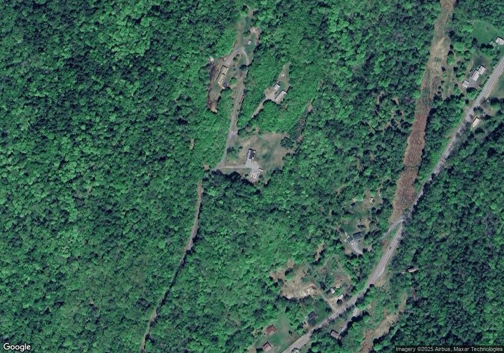
Map
- 23 Chase Hill Rd
- 330 Parsonage Rd
- 29 National St
- 511 Route 12a
- 0 Beechwood Dr Unit 117
- 145 the Plateau
- 93 Belaski Rd
- 2 Pine St
- 6 Pine St
- 74 Union St
- 24 Cherry St
- 175 Beechwood Dr
- 11 Cubb Ct
- 23 Cubb Ct
- 108 Cubb Ct
- 505 Back Mountain Rd Unit 14
- 517 Back Mountain Rd
- 614 Red Water Brook Rd
- 65 Clark Camp Rd
- 000 Marton Rd
- 97 Moon Lite Dr
- 560 Town House Rd
- 592 Town House Rd
- 512 Town House Rd
- 594 Town House Rd
- 606 Town House Rd
- 654 Town House Rd
- 523 Town House Rd
- 599 Town House Rd
- 618 Town House Rd
- 607 Town House Rd
- 52 Dingleton Hill Rd
- 746 Town House Rd
- 628 Town House Rd
- 758 Town House Rd
- 511 Town House Rd
- 504 Town House Rd
- 728 Town House Rd
- 499 Town House Rd
- 744 Town House Rd
Ask me questions while you tour the home.