95 Peaceful Ln Lakeside, MT 59922
Estimated Value: $890,000 - $3,290,735
4
Beds
3
Baths
2,188
Sq Ft
$955/Sq Ft
Est. Value
About This Home
This home is located at 95 Peaceful Ln, Lakeside, MT 59922 and is currently estimated at $2,090,368, approximately $955 per square foot. 95 Peaceful Ln is a home with nearby schools including Lakeside Elementary School, Somers Middle School, and Flathead High School.
Ownership History
Date
Name
Owned For
Owner Type
Purchase Details
Closed on
Oct 9, 2023
Sold by
Next Chapter Holdings Ltd
Bought by
Fetveit David and Fetveit Michelle
Current Estimated Value
Home Financials for this Owner
Home Financials are based on the most recent Mortgage that was taken out on this home.
Original Mortgage
$2,000,000
Outstanding Balance
$1,955,886
Interest Rate
6.75%
Mortgage Type
Construction
Estimated Equity
$134,482
Create a Home Valuation Report for This Property
The Home Valuation Report is an in-depth analysis detailing your home's value as well as a comparison with similar homes in the area
Home Values in the Area
Average Home Value in this Area
Purchase History
| Date | Buyer | Sale Price | Title Company |
|---|---|---|---|
| Fetveit David | -- | Fidelity National Title |
Source: Public Records
Mortgage History
| Date | Status | Borrower | Loan Amount |
|---|---|---|---|
| Open | Fetveit David | $2,000,000 |
Source: Public Records
Tax History
| Year | Tax Paid | Tax Assessment Tax Assessment Total Assessment is a certain percentage of the fair market value that is determined by local assessors to be the total taxable value of land and additions on the property. | Land | Improvement |
|---|---|---|---|---|
| 2025 | $15,105 | $2,528,600 | $0 | $0 |
| 2024 | $9,620 | $1,762,000 | $0 | $0 |
| 2023 | $9,619 | $1,762,000 | $0 | $0 |
| 2022 | $9,343 | $1,245,400 | $0 | $0 |
| 2021 | $9,797 | $1,245,400 | $0 | $0 |
| 2020 | $9,101 | $1,129,600 | $0 | $0 |
| 2019 | $9,508 | $1,228,840 | $0 | $0 |
| 2018 | $9,714 | $1,198,720 | $0 | $0 |
| 2017 | $8,954 | $1,198,720 | $0 | $0 |
| 2016 | $8,223 | $1,144,520 | $0 | $0 |
| 2015 | $8,521 | $1,144,520 | $0 | $0 |
| 2014 | $11,275 | $956,961 | $0 | $0 |
Source: Public Records
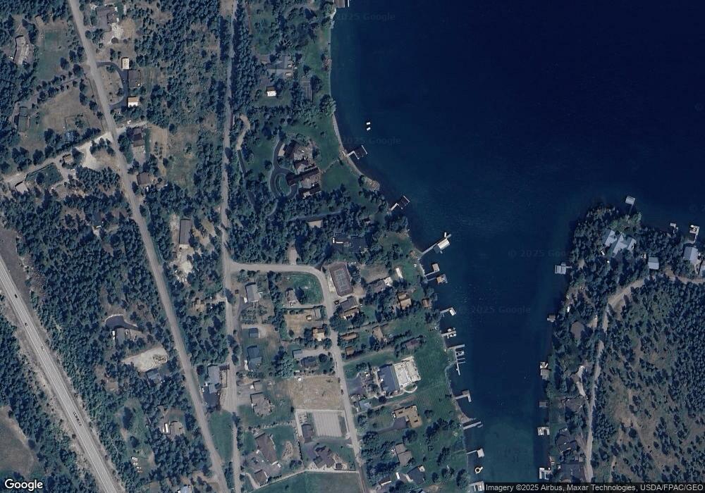
Map
Nearby Homes
- 480 Political Hill Rd
- 458 Political Hill Rd
- 27 Bayview Dr
- 100 Political Hill Rd
- 66 Angel Point Rd
- 103 Tamarack Woods Dr
- 240 Blacktail Rd
- 360 Ridge Line Dr
- 149 Monet Rd
- 207 Stoner Loop Unit A
- 351 Ridge Line Dr
- 7175 US Highway 93 S Unit 1-203
- 7175 US Highway 93 S Unit 4-301
- 7175 US Highway 93 S Unit 3-104
- 268 Tamarack Terrace Rd
- 272 Tamarack Terrace Rd
- 138 Crystal View Ct
- 212 Bierney Creek Rd
- 212 Sunrise Ln
- 593 Grayling Rd
- 101 Peaceful Ln
- 1075 Lakeside Blvd
- 111 Peaceful Ln
- 1065 Lakeside Blvd
- 114 Peaceful Ln
- 125 & 119 Peaceful Ln
- 119 Peaceful Ln
- 124 Peaceful Ln
- 125 Peaceful Ln
- 120 Peaceful Ln
- 135 Peaceful Ln
- 136 Peaceful Ln
- 137 Peaceful Ln
- 137 Peaceful Ln
- 137 Peaceful Ln
- 137 Peaceful Ln
- 137 Peaceful Ln
- 137 Peaceful Ln
- 137 Peaceful Ln
- 137 Peaceful Ln
Your Personal Tour Guide
Ask me questions while you tour the home.