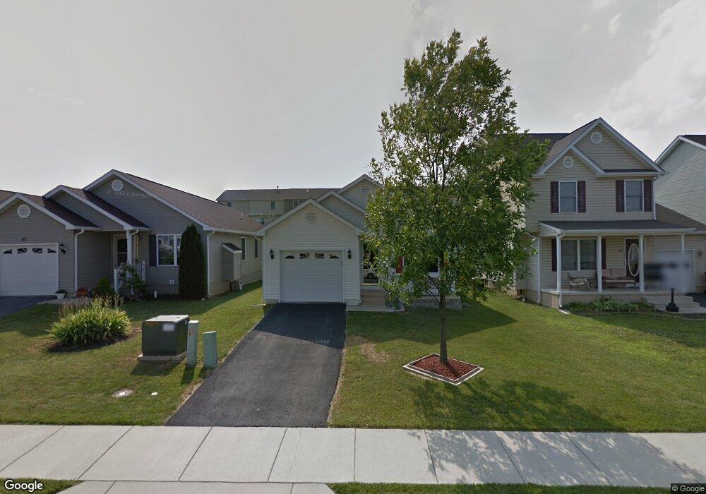
95 Peter Rabbit Dr Ranson, WV 25438
Estimated Value: $294,774 - $313,000
3
Beds
2
Baths
1,364
Sq Ft
$221/Sq Ft
Est. Value
About This Home
This home is located at 95 Peter Rabbit Dr, Ranson, WV 25438 and is currently estimated at $301,944, approximately $221 per square foot. 95 Peter Rabbit Dr is a home located in Jefferson County with nearby schools including T.A. Lowery Elementary School, Wildwood Middle School, and Jefferson High School.
Ownership History
Date
Name
Owned For
Owner Type
Purchase Details
Closed on
Mar 30, 2007
Sold by
Stevens Phillip O and Stevens Pamela W
Bought by
Munafo Anthony N
Current Estimated Value
Home Financials for this Owner
Home Financials are based on the most recent Mortgage that was taken out on this home.
Original Mortgage
$149,900
Interest Rate
6.24%
Mortgage Type
New Conventional
Create a Home Valuation Report for This Property
The Home Valuation Report is an in-depth analysis detailing your home's value as well as a comparison with similar homes in the area
Home Values in the Area
Average Home Value in this Area
Purchase History
| Date | Buyer | Sale Price | Title Company |
|---|---|---|---|
| Munafo Anthony N | $249,900 | None Available |
Source: Public Records
Mortgage History
| Date | Status | Borrower | Loan Amount |
|---|---|---|---|
| Closed | Munafo Anthony N | $149,900 |
Source: Public Records
Tax History
| Year | Tax Paid | Tax Assessment Tax Assessment Total Assessment is a certain percentage of the fair market value that is determined by local assessors to be the total taxable value of land and additions on the property. | Land | Improvement |
|---|---|---|---|---|
| 2025 | $1,741 | $144,400 | $44,900 | $99,500 |
| 2024 | $1,652 | $136,300 | $44,900 | $91,400 |
| 2023 | $1,649 | $136,300 | $44,900 | $91,400 |
| 2022 | $1,385 | $116,100 | $36,300 | $79,800 |
| 2021 | $1,147 | $98,300 | $26,900 | $71,400 |
| 2020 | $1,098 | $99,100 | $26,900 | $72,200 |
| 2019 | $1,084 | $97,100 | $24,100 | $73,000 |
| 2018 | $993 | $89,700 | $19,200 | $70,500 |
| 2017 | $1,004 | $90,500 | $19,200 | $71,300 |
| 2016 | $908 | $84,100 | $12,800 | $71,300 |
| 2015 | $840 | $78,800 | $11,200 | $67,600 |
| 2014 | $1,088 | $76,300 | $8,000 | $68,300 |
Source: Public Records
Map
Nearby Homes
- 90 Peter Rabbit Dr
- 351 Thumper Dr
- 363 Anthem St
- 135 Presidents Pointe Ave
- 54 Coolidge Ave
- 31 Capitol Mews
- 357 Short Branch Dr
- 341 Short Branch Dr
- 353 Short Branch Dr
- 282 Swan Field Ave
- 303 Short Branch Dr
- 345 Short Branch Dr
- 316 Anthem St
- 431 Presidents Pointe Ave
- 435 Presidents Pointe Ave
- 439 Presidents Pointe Ave
- 443 Presidents Pointe Ave
- 447 Presidents Pointe Ave
- 451 Presidents Pointe Ave
- 344 Anthem St
- 101 Peter Rabbit Dr
- 87 Peter Rabbit Dr
- 111 Peter Rabbit Dr
- 79 Peter Rabbit Dr
- 117 Peter Rabbit Dr
- 110 Peter Rabbit Dr
- 98 Peter Rabbit Dr
- 76 Peter Rabbit Dr
- 121 Peter Rabbit Dr
- 120 Peter Rabbit Dr
- 87 Fuzzy Tail Dr
- 91 Fuzzy Tail Dr
- 83 Fuzzy Tail Dr
- 95 Fuzzy Tail Dr
- 68 Peter Rabbit Dr
- 79 Fuzzy Tail Dr
- 99 Fuzzy Tail Dr
- 129 Peter Rabbit Dr
- 103 Fuzzy Tail Dr
- 71 Fuzzy Tail Dr
Your Personal Tour Guide
Ask me questions while you tour the home.