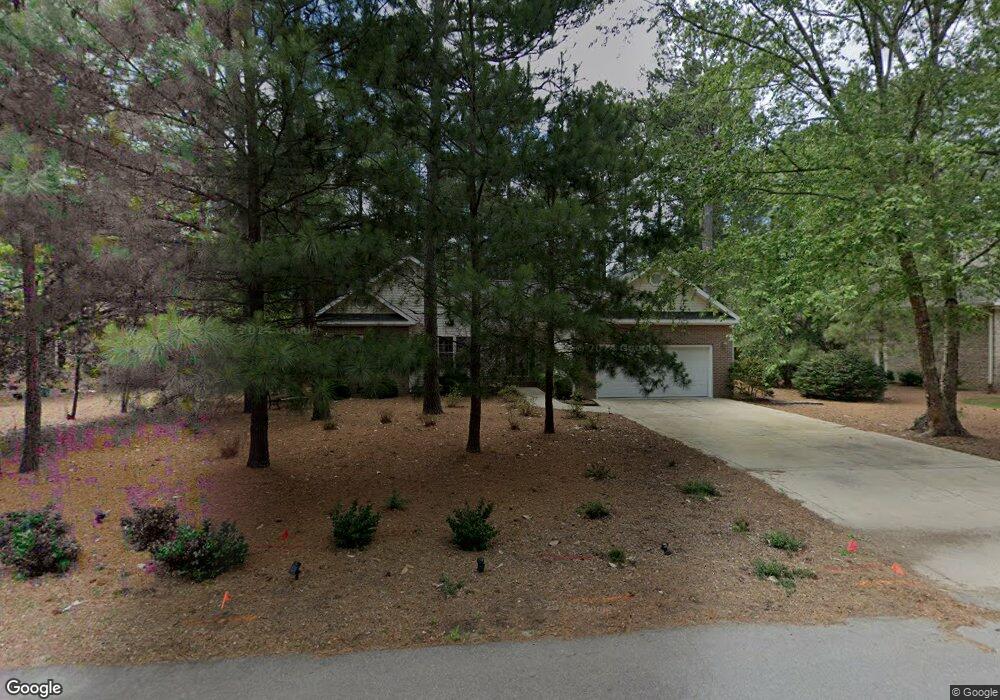
95 Pine Meadows Rd Unit 1 Pinehurst, NC 28374
Estimated Value: $440,000 - $510,000
3
Beds
2
Baths
2,044
Sq Ft
$228/Sq Ft
Est. Value
About This Home
This home is located at 95 Pine Meadows Rd Unit 1, Pinehurst, NC 28374 and is currently estimated at $465,963, approximately $227 per square foot. 95 Pine Meadows Rd Unit 1 is a home located in Moore County with nearby schools including Pinehurst Elementary School, Southern Middle School, and Pinecrest High School.
Ownership History
Date
Name
Owned For
Owner Type
Purchase Details
Closed on
Aug 2, 2006
Sold by
Kuell Dorothy L
Bought by
Hinkle John Morrell and Hinkle Sharon H
Current Estimated Value
Home Financials for this Owner
Home Financials are based on the most recent Mortgage that was taken out on this home.
Original Mortgage
$200,000
Outstanding Balance
$115,767
Interest Rate
6.68%
Mortgage Type
Unknown
Estimated Equity
$350,196
Purchase Details
Closed on
Jun 12, 2002
Sold by
Kuell Dorothy L
Bought by
Hinkle John Morrell and Hinkle Sharon H
Create a Home Valuation Report for This Property
The Home Valuation Report is an in-depth analysis detailing your home's value as well as a comparison with similar homes in the area
Home Values in the Area
Average Home Value in this Area
Purchase History
| Date | Buyer | Sale Price | Title Company |
|---|---|---|---|
| Hinkle John Morrell | $250,000 | None Available | |
| Hinkle John Morrell | $151,000 | -- |
Source: Public Records
Mortgage History
| Date | Status | Borrower | Loan Amount |
|---|---|---|---|
| Open | Hinkle John Morrell | $200,000 |
Source: Public Records
Tax History
| Year | Tax Paid | Tax Assessment Tax Assessment Total Assessment is a certain percentage of the fair market value that is determined by local assessors to be the total taxable value of land and additions on the property. | Land | Improvement |
|---|---|---|---|---|
| 2025 | $2,060 | $369,430 | $80,000 | $289,430 |
| 2024 | $2,115 | $369,430 | $80,000 | $289,430 |
| 2023 | $2,207 | $369,430 | $80,000 | $289,430 |
| 2022 | $1,960 | $234,710 | $40,000 | $194,710 |
| 2021 | $2,030 | $234,710 | $40,000 | $194,710 |
| 2020 | $2,009 | $234,710 | $40,000 | $194,710 |
| 2019 | $2,009 | $234,710 | $40,000 | $194,710 |
| 2018 | $1,767 | $220,920 | $32,000 | $188,920 |
| 2017 | $1,745 | $220,920 | $32,000 | $188,920 |
| 2015 | $1,712 | $220,920 | $32,000 | $188,920 |
| 2014 | $1,609 | $210,350 | $35,000 | $175,350 |
| 2013 | -- | $210,350 | $35,000 | $175,350 |
Source: Public Records
Map
Nearby Homes
- 100 Oak Hills Rd
- 55 Westchester Cir
- 375 Saint Andrews Dr
- 118 Lakewood Dr
- 215 Merion Cir
- 105 Tamarisk Ln
- 3 Merion Cir
- 2 Bob o Link Rd
- 5 Quail Lake Rd W
- 140 Lost Tree Rd
- 105 Lost Tree Rd Unit 1
- 140 Idlewild Rd Unit 1
- 89 Lost Tree Rd
- 40 Saint Andrews Dr
- 340 Oakmont Cir
- 7 Inverness Place
- 4 Oakmont Dr
- 305 Burning Tree Rd
- 80 Wilson Rd
- 12 Chestnut Ct
- 85 Pine Meadows Rd
- 105 Pine Meadows Rd
- 40 Lake Forest Dr Unit 1
- 40 Lake Forest Dr
- 35 Lake Forest Dr
- 75 Pine Meadows Rd
- 115 Pine Meadows Rd
- 50 Lake Forest Dr
- 50 Lake Forest Dr
- 30 Lake Forest Dr
- 30 Lake Forest Dr Unit 10
- 90 Pine Meadows Rd
- 100 Pine Meadows Rd
- 80 Pine Meadows Rd
- 110 Pine Meadows Rd
- 20 Lake Forest Dr
- 20 Lake Forest Dr
- 65 Pine Meadows Rd
- 60 Lake Forest Dr
- 60 Lake Forest Dr
Your Personal Tour Guide
Ask me questions while you tour the home.