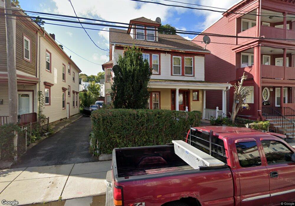
95 Ruthven St Dorchester, MA 02121
Washington Park NeighborhoodEstimated Value: $783,000 - $986,000
7
Beds
2
Baths
3,246
Sq Ft
$264/Sq Ft
Est. Value
About This Home
This home is located at 95 Ruthven St, Dorchester, MA 02121 and is currently estimated at $857,758, approximately $264 per square foot. 95 Ruthven St is a home located in Suffolk County with nearby schools including Bridge Boston Charter School and Mother Caroline Academy & Education Center.
Ownership History
Date
Name
Owned For
Owner Type
Purchase Details
Closed on
Jul 31, 1987
Sold by
Wright Robert J
Bought by
Jones Albert
Current Estimated Value
Home Financials for this Owner
Home Financials are based on the most recent Mortgage that was taken out on this home.
Original Mortgage
$127,350
Interest Rate
10.43%
Mortgage Type
Purchase Money Mortgage
Create a Home Valuation Report for This Property
The Home Valuation Report is an in-depth analysis detailing your home's value as well as a comparison with similar homes in the area
Home Values in the Area
Average Home Value in this Area
Purchase History
| Date | Buyer | Sale Price | Title Company |
|---|---|---|---|
| Jones Albert | $141,500 | -- |
Source: Public Records
Mortgage History
| Date | Status | Borrower | Loan Amount |
|---|---|---|---|
| Open | Jones Albert | $151,000 | |
| Closed | Jones Albert | $35,000 | |
| Closed | Jones Albert | $116,000 | |
| Closed | Jones Albert | $127,350 |
Source: Public Records
Tax History Compared to Growth
Tax History
| Year | Tax Paid | Tax Assessment Tax Assessment Total Assessment is a certain percentage of the fair market value that is determined by local assessors to be the total taxable value of land and additions on the property. | Land | Improvement |
|---|---|---|---|---|
| 2025 | $7,499 | $647,600 | $243,000 | $404,600 |
| 2024 | $6,348 | $582,400 | $207,900 | $374,500 |
| 2023 | $5,847 | $544,400 | $194,300 | $350,100 |
| 2022 | $5,386 | $495,000 | $176,700 | $318,300 |
| 2021 | $4,936 | $462,600 | $165,100 | $297,500 |
| 2020 | $4,608 | $436,400 | $164,600 | $271,800 |
| 2019 | $4,299 | $407,900 | $133,500 | $274,400 |
| 2018 | $3,959 | $377,800 | $133,500 | $244,300 |
| 2017 | $3,846 | $363,200 | $133,500 | $229,700 |
| 2016 | $3,567 | $324,300 | $133,500 | $190,800 |
| 2015 | $3,322 | $274,300 | $100,900 | $173,400 |
| 2014 | $2,956 | $235,000 | $100,900 | $134,100 |
Source: Public Records
Map
Nearby Homes
- 75 Ruthven St
- 214 Humboldt Ave
- 9 Abbotsford St Unit 1
- 78 Hutchings St Unit 1
- 136-138 Homestead St
- 4 Ruthven St
- 164 Ruthven St Unit 1
- 25 Hutchings St
- 28 Wabon St
- 99 Harrishof St
- 41 W Walnut Park
- 7 Waumbeck St Unit 3
- 151 Townsend St
- 4 Wyoming St Unit 2
- 495 Warren St
- 27 Dixwell St Unit 11
- 27 Dixwell St Unit 12
- 27 Dixwell St Unit 4
- 1-3 Glines Ave
- 476 Warren St
- 89 Ruthven St
- 89 Ruthven St Unit 2
- 89 Ruthven St Unit 3
- 89 Ruthven St Unit 1
- 97 Ruthven St
- 99 Ruthven St Unit 101
- 83 Ruthven St Unit 85
- 81 Ruthven St
- 81 Ruthven St Unit 1
- 81 Ruthven St Unit 2
- 81 Ruthven St Unit 3
- 72 Homestead St
- 68 Homestead St
- 92 Ruthven St
- 76 Homestead St
- 96 Ruthven St
- 74 Homestead St Unit 1
- 86 Ruthven St
- 86 Ruthven St Unit 1
- 77 Ruthven St Unit 3