95 Star Ridge Rd Unit 47 Thornton, NH 03285
Estimated Value: $328,000 - $355,640
3
Beds
2
Baths
1,330
Sq Ft
$256/Sq Ft
Est. Value
About This Home
This home is located at 95 Star Ridge Rd Unit 47, Thornton, NH 03285 and is currently estimated at $340,660, approximately $256 per square foot. 95 Star Ridge Rd Unit 47 is a home located in Grafton County with nearby schools including Thornton Central School and Plymouth Regional High School.
Ownership History
Date
Name
Owned For
Owner Type
Purchase Details
Closed on
Dec 23, 2013
Sold by
Judge Colleen M
Bought by
Cox Jason M and Cox Erin M
Current Estimated Value
Purchase Details
Closed on
Jun 2, 2003
Sold by
Szeliga Richard J
Bought by
Harrison Dean E
Create a Home Valuation Report for This Property
The Home Valuation Report is an in-depth analysis detailing your home's value as well as a comparison with similar homes in the area
Home Values in the Area
Average Home Value in this Area
Purchase History
| Date | Buyer | Sale Price | Title Company |
|---|---|---|---|
| Cox Jason M | $115,000 | -- | |
| Cox Jason M | $115,000 | -- | |
| Harrison Dean E | $122,900 | -- | |
| Harrison Dean E | $122,900 | -- |
Source: Public Records
Mortgage History
| Date | Status | Borrower | Loan Amount |
|---|---|---|---|
| Previous Owner | Harrison Dean E | $60,000 | |
| Previous Owner | Harrison Dean E | $60,000 | |
| Closed | Harrison Dean E | $0 |
Source: Public Records
Tax History Compared to Growth
Tax History
| Year | Tax Paid | Tax Assessment Tax Assessment Total Assessment is a certain percentage of the fair market value that is determined by local assessors to be the total taxable value of land and additions on the property. | Land | Improvement |
|---|---|---|---|---|
| 2024 | $3,904 | $343,400 | $0 | $343,400 |
| 2023 | $2,850 | $137,300 | $0 | $137,300 |
| 2022 | $2,729 | $136,400 | $0 | $136,400 |
| 2021 | $2,833 | $136,400 | $0 | $136,400 |
| 2020 | $2,743 | $136,400 | $0 | $136,400 |
| 2019 | $2,548 | $136,400 | $0 | $136,400 |
| 2018 | $2,382 | $121,500 | $0 | $121,500 |
| 2017 | $2,376 | $121,500 | $0 | $121,500 |
| 2016 | $2,356 | $121,500 | $0 | $121,500 |
| 2015 | $2,321 | $121,500 | $0 | $121,500 |
| 2014 | $2,225 | $118,400 | $0 | $118,400 |
| 2013 | $2,584 | $140,900 | $0 | $140,900 |
Source: Public Records
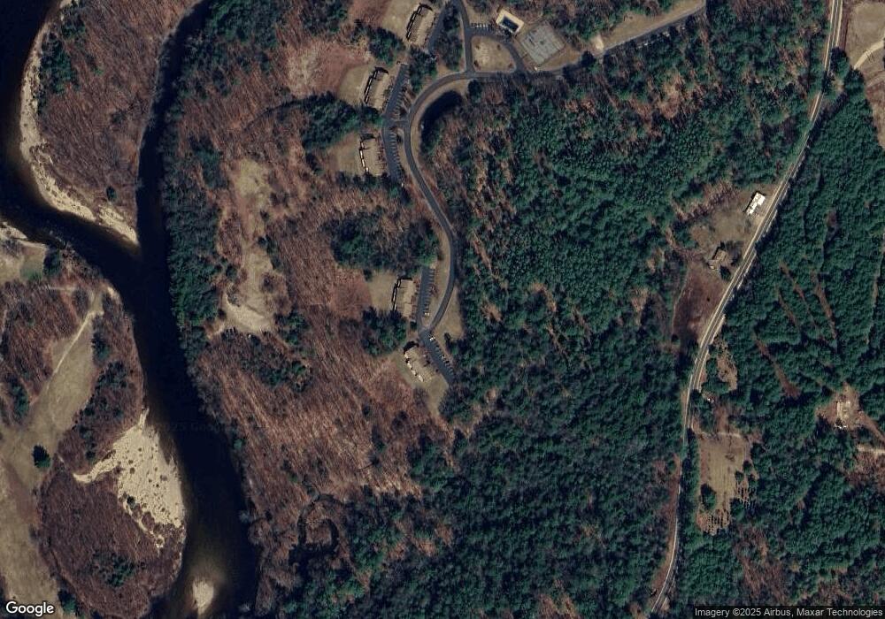
Map
Nearby Homes
- 3481 Us Route 3
- 3447 US Route 3
- 2832 Nh Route 175
- 13 Champions Way
- 25 Mount Woodlands Rd
- 93 Waterthorn Rd
- 94 River Run Rd Unit 7
- 3-42 Barron Rd
- 4 Stone Dam Rd
- Lot 2 Covered Bridge Rd
- 1143 Daniel Webster Hwy
- 22 Compass Point Rd
- 30 Tuxette Rd
- 165 Covered Bridge Rd
- 151 Millbrook Rd
- 189 Covered Bridge Rd
- 1033 Daniel Webster Hwy
- 21 Melina's Way
- 1958 New Hampshire Route 175
- 6 Melinas Way
- 95 Star Ridge Rd Unit 48
- 95 Star Ridge Rd Unit 46
- 95 Star Ridge Rd Unit 45
- 95 Star Ridge Rd Unit 44
- 95 Star Ridge Rd Unit 43
- 95 Star Ridge Rd Unit 42
- 95 Star Ridge Rd Unit 41
- 95 Star Ridge Rd Unit F-47
- 70 Star Ridge Rd Unit D26
- 70 Star Ridge Rd Unit D31
- 70 Star Ridge Rd Unit D-29
- 70 Star Ridge Rd Unit D32
- 70 Star Ridge Rd Unit 70-26
- 68 Star Ridge Rd Unit C20
- 68 Star Ridge Rd Unit 23
- D-31 Star Ridge Rd Unit D-31
- C-24 Star Ridge Dr Unit C-24
- 21 Tennis Ln Unit 5
- 21 Tennis Place Unit A-3
- 21 Tennis Ln Unit 4