95 Windswept Way Osterville, MA 2655
Osterville NeighborhoodEstimated Value: $2,689,000 - $3,492,000
4
Beds
5
Baths
3,590
Sq Ft
$842/Sq Ft
Est. Value
About This Home
This home is located at 95 Windswept Way, Osterville, MA 2655 and is currently estimated at $3,022,614, approximately $841 per square foot. 95 Windswept Way is a home located in Barnstable County with nearby schools including West Villages Elementary School, Barnstable United Elementary School, and Barnstable Intermediate School.
Ownership History
Date
Name
Owned For
Owner Type
Purchase Details
Closed on
Feb 10, 2021
Sold by
Krant Richard W and Krant Dorothy T
Bought by
Mirick Adam M and Russano-Yazaki Fabia M
Current Estimated Value
Purchase Details
Closed on
Nov 19, 2018
Sold by
95 Windswept Way Nt
Bought by
Krant Richard W and Krant Dorothy T
Purchase Details
Closed on
Jun 27, 2007
Sold by
Krant Dorothy T and Krant Richard W
Bought by
95 Windswept Nt
Purchase Details
Closed on
Jun 30, 1999
Sold by
Ferrone Jean V
Bought by
Krant Richard W and Krant Dorothy T
Home Financials for this Owner
Home Financials are based on the most recent Mortgage that was taken out on this home.
Original Mortgage
$570,000
Interest Rate
7.19%
Mortgage Type
Purchase Money Mortgage
Create a Home Valuation Report for This Property
The Home Valuation Report is an in-depth analysis detailing your home's value as well as a comparison with similar homes in the area
Home Values in the Area
Average Home Value in this Area
Purchase History
| Date | Buyer | Sale Price | Title Company |
|---|---|---|---|
| Mirick Adam M | $1,740,000 | None Available | |
| Krant Richard W | -- | -- | |
| 95 Windswept Nt | -- | -- | |
| Krant Richard W | $770,000 | -- |
Source: Public Records
Mortgage History
| Date | Status | Borrower | Loan Amount |
|---|---|---|---|
| Previous Owner | Krant Richard W | $570,000 |
Source: Public Records
Tax History Compared to Growth
Tax History
| Year | Tax Paid | Tax Assessment Tax Assessment Total Assessment is a certain percentage of the fair market value that is determined by local assessors to be the total taxable value of land and additions on the property. | Land | Improvement |
|---|---|---|---|---|
| 2025 | $20,868 | $2,579,500 | $1,710,500 | $869,000 |
| 2024 | $20,363 | $2,607,300 | $1,710,500 | $896,800 |
| 2023 | $17,148 | $2,056,100 | $1,346,600 | $709,500 |
| 2022 | $15,901 | $1,649,500 | $1,009,400 | $640,100 |
| 2021 | $16,640 | $1,586,300 | $1,039,100 | $547,200 |
| 2020 | $16,903 | $1,542,200 | $1,039,100 | $503,100 |
| 2019 | $15,530 | $1,376,800 | $950,000 | $426,800 |
| 2018 | $16,236 | $1,447,100 | $1,000,000 | $447,100 |
| 2017 | $15,412 | $1,432,300 | $1,000,000 | $432,300 |
| 2016 | $15,894 | $1,458,200 | $1,000,000 | $458,200 |
| 2015 | $15,491 | $1,427,700 | $992,000 | $435,700 |
Source: Public Records
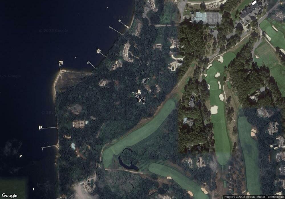
Map
Nearby Homes
- 440 Grand Island Dr
- Lot 288 Seapuit River Rd A
- 135 Putnam Ave
- Lot 289 Seapuit River Road B
- Lot 289 Seapuit River B Rd
- Lot 288 Seapuit River A Rd
- 25 Oyster Way
- 426 Old Post Rd
- 916 Main St
- 5 Putnam Ave
- 14 Indian Trail
- 43 Poponessett Rd
- 835 Old Post Rd
- 71 Sand Point
- 405 Bridge St
- 564 Cotuit Bay Dr
- 564 Cotuit Bay Dr
- 1081 Main St
- 30 Wings Ln
- 188 Ocean View Ave
- 95 Windswept Way
- 79 Windswept Way
- 121 Windswept Way
- 84 Windswept Way
- 100 Windswept Way
- 35 Windswept Way
- 35 Windswept Way
- 280 Grand Island Dr
- 11 Cove Ln
- 292 Grand Island Dr
- 292 Grand Island Dr
- 110 Windswept Way
- 134 Windswept Way
- 50 Windswept Way
- 25 Cove Ln
- 118 Windswept Way
- 32 Windswept Way
- 320 Grand Island Dr
- 320 Grand Island Dr
- 148 Windswept Way