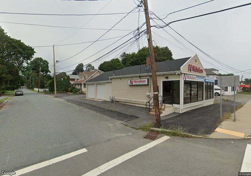
95 Worcester St Natick, MA 01760
Estimated Value: $1,032,095
Studio
--
Bath
1,020
Sq Ft
$1,012/Sq Ft
Est. Value
About This Home
This home is located at 95 Worcester St, Natick, MA 01760 and is currently priced at $1,032,095, approximately $1,011 per square foot. 95 Worcester St is a home located in Middlesex County with nearby schools including Natick High School, Wilson Middle School, and Bennett-Hemenway (Ben-Hem) Elementary School.
Ownership History
Date
Name
Owned For
Owner Type
Purchase Details
Closed on
Jun 7, 1993
Sold by
Capitol B & T Co and Federal Deposit Insurance Corporation
Bought by
Ninety-Five Rt and Collotta
Current Estimated Value
Purchase Details
Closed on
Dec 11, 1992
Sold by
Natick 95 Worcester Rd
Bought by
Capitol Bk & Tr
Create a Home Valuation Report for This Property
The Home Valuation Report is an in-depth analysis detailing your home's value as well as a comparison with similar homes in the area
Home Values in the Area
Average Home Value in this Area
Purchase History
| Date | Buyer | Sale Price | Title Company |
|---|---|---|---|
| Ninety-Five Rt | $147,500 | -- | |
| Capitol Bk & Tr | $115,000 | -- | |
| Capitol Bk & Tr | $115,000 | -- |
Source: Public Records
Mortgage History
| Date | Status | Borrower | Loan Amount |
|---|---|---|---|
| Open | Capitol Bk & Tr | $313,408 | |
| Previous Owner | Capitol Bk & Tr | $304,000 |
Source: Public Records
Tax History
| Year | Tax Paid | Tax Assessment Tax Assessment Total Assessment is a certain percentage of the fair market value that is determined by local assessors to be the total taxable value of land and additions on the property. | Land | Improvement |
|---|---|---|---|---|
| 2025 | $9,580 | $801,000 | $434,200 | $366,800 |
| 2024 | $9,716 | $792,500 | $434,200 | $358,300 |
| 2023 | $9,303 | $736,000 | $383,100 | $352,900 |
| 2022 | $8,663 | $649,400 | $383,100 | $266,300 |
| 2021 | $7,869 | $578,200 | $383,100 | $195,100 |
| 2020 | $7,869 | $578,200 | $383,100 | $195,100 |
| 2019 | $7,349 | $578,200 | $383,100 | $195,100 |
| 2018 | $7,091 | $543,400 | $382,300 | $161,100 |
| 2017 | $6,883 | $510,200 | $382,300 | $127,900 |
| 2016 | $6,842 | $504,200 | $382,300 | $121,900 |
| 2015 | $6,812 | $492,900 | $382,300 | $110,600 |
Source: Public Records
Map
Nearby Homes
- 4 Whittier Rd
- 7 Whittier Rd
- 124 Worcester St - Rt 9
- 8 Whittier Rd
- 3 Wellesley Rd
- 104 Worcester St
- 9 Whittier Rd
- 11 Wellesley Rd
- 4 Browning Rd
- 11 Wellesley Rd Unit 73
- 13 Wellesley Rd
- 15 Whittier Rd
- 4A Wellesley Rd
- 12 Whittier Rd
- 4 Wellesley Rd
- 45 Worcester St
- 5 Naples Rd
- 18 Gannett Rd
- 15 Wellesley Rd
- 10 Wellesley Rd
Your Personal Tour Guide
Ask me questions while you tour the home.