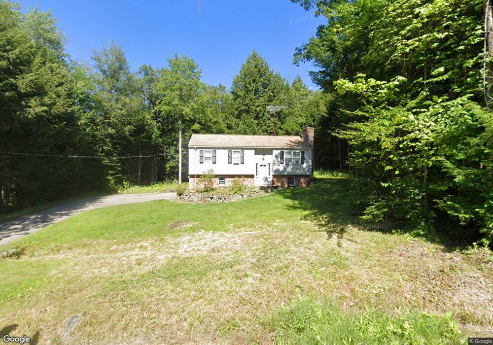
95 Worfield Cir Bristol, NH 03222
Estimated Value: $360,000 - $405,000
3
Beds
2
Baths
994
Sq Ft
$378/Sq Ft
Est. Value
About This Home
This home is located at 95 Worfield Cir, Bristol, NH 03222 and is currently estimated at $375,832, approximately $378 per square foot. 95 Worfield Cir is a home located in Grafton County with nearby schools including Bristol Elementary School.
Ownership History
Date
Name
Owned For
Owner Type
Purchase Details
Closed on
Dec 1, 2009
Sold by
Pedersen Geoffrey K and Pedersen Roger B
Bought by
Weeks 2Nd Russell E and Weeks Andrea L
Current Estimated Value
Home Financials for this Owner
Home Financials are based on the most recent Mortgage that was taken out on this home.
Original Mortgage
$158,163
Outstanding Balance
$103,269
Interest Rate
4.92%
Mortgage Type
Purchase Money Mortgage
Estimated Equity
$272,563
Create a Home Valuation Report for This Property
The Home Valuation Report is an in-depth analysis detailing your home's value as well as a comparison with similar homes in the area
Home Values in the Area
Average Home Value in this Area
Purchase History
| Date | Buyer | Sale Price | Title Company |
|---|---|---|---|
| Weeks 2Nd Russell E | $155,000 | -- |
Source: Public Records
Mortgage History
| Date | Status | Borrower | Loan Amount |
|---|---|---|---|
| Open | Weeks 2Nd Russell E | $158,163 |
Source: Public Records
Tax History Compared to Growth
Tax History
| Year | Tax Paid | Tax Assessment Tax Assessment Total Assessment is a certain percentage of the fair market value that is determined by local assessors to be the total taxable value of land and additions on the property. | Land | Improvement |
|---|---|---|---|---|
| 2024 | $3,883 | $164,400 | $57,800 | $106,600 |
| 2023 | $3,740 | $164,400 | $57,800 | $106,600 |
| 2022 | $3,455 | $164,600 | $57,800 | $106,800 |
| 2021 | $3,327 | $164,600 | $57,800 | $106,800 |
| 2020 | $1,494 | $164,600 | $57,800 | $106,800 |
| 2019 | $2,928 | $128,400 | $37,200 | $91,200 |
| 2018 | $2,799 | $128,400 | $37,200 | $91,200 |
| 2017 | $2,841 | $128,400 | $37,200 | $91,200 |
| 2016 | $2,648 | $128,400 | $37,200 | $91,200 |
| 2015 | $2,879 | $143,000 | $36,500 | $106,500 |
| 2014 | $2,879 | $143,000 | $36,500 | $106,500 |
| 2013 | $2,886 | $143,000 | $36,500 | $106,500 |
Source: Public Records
Map
Nearby Homes
- 135 Pleasant St
- 30 Beech St Unit 4B
- 30 Beech St Unit 4C
- 333 Lake St
- 29 Daniels Rd
- 00 Borough Rd Unit 1,2
- Lot 7 Hall Rd
- 150 Peaked Hill Rd
- 26 Don Gerry Rd
- 35 Manor Estates Dr Unit 14
- 00 Peaked Hill Rd Unit 7.1, 7.2, 7.3, 7.4,
- 94 Mandi Ln
- 80 Patten Rd
- 383 Wulamat Rd
- 40 Adams Rd
- 199 Cottage City Rd
- 0 Murray Hill Rd Unit 5-1
- 125 Verrill Rd
- 3 Shop Rd
- 114 Ledgewood Terrace
- 85 Worfield Cir
- 105 Worfield Cir
- 100 Worfield Cir
- 80 Worfield Cir
- 65 Worfield Cir
- 115 Worfield Cir
- 154 Robieson Dr
- 140 Worfield Cir
- 120 Robieson Dr
- 66 Worfield Cir
- 55 Worfield Cir
- 170 Worfield Cir
- 135 Worfield Cir
- 180 Worfield Cir
- 112 Robieson Dr
- 123 Robieson Dr
- 50 Worfield Cir
- 41 Worfield Cir
- 190 Worfield Cir
- 141 Worfield Cir