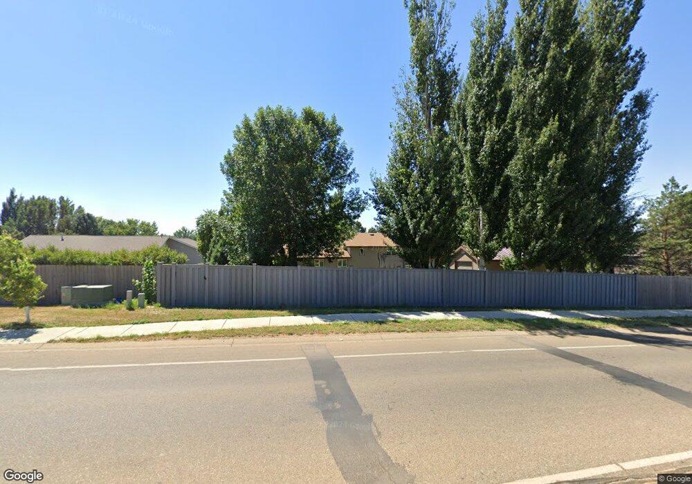
950 20th St W Dickinson, ND 58601
Estimated Value: $369,000 - $445,000
4
Beds
2
Baths
1,566
Sq Ft
$256/Sq Ft
Est. Value
About This Home
This home is located at 950 20th St W, Dickinson, ND 58601 and is currently estimated at $400,311, approximately $255 per square foot. 950 20th St W is a home located in Stark County with nearby schools including Hope Christian Academy.
Ownership History
Date
Name
Owned For
Owner Type
Purchase Details
Closed on
Apr 13, 2010
Sold by
Bercier Gerald A and Bercier Kathy A
Bought by
Spraque James J and Spraque Shauna L
Current Estimated Value
Home Financials for this Owner
Home Financials are based on the most recent Mortgage that was taken out on this home.
Original Mortgage
$198,341
Outstanding Balance
$135,332
Interest Rate
5.5%
Mortgage Type
FHA
Estimated Equity
$264,979
Create a Home Valuation Report for This Property
The Home Valuation Report is an in-depth analysis detailing your home's value as well as a comparison with similar homes in the area
Home Values in the Area
Average Home Value in this Area
Purchase History
| Date | Buyer | Sale Price | Title Company |
|---|---|---|---|
| Spraque James J | $202,000 | None Available |
Source: Public Records
Mortgage History
| Date | Status | Borrower | Loan Amount |
|---|---|---|---|
| Open | Spraque James J | $198,341 |
Source: Public Records
Tax History
| Year | Tax Paid | Tax Assessment Tax Assessment Total Assessment is a certain percentage of the fair market value that is determined by local assessors to be the total taxable value of land and additions on the property. | Land | Improvement |
|---|---|---|---|---|
| 2024 | $2,882 | $270,700 | $48,000 | $222,700 |
| 2023 | $2,676 | $270,700 | $48,000 | $222,700 |
| 2022 | $2,542 | $127,750 | $0 | $0 |
| 2021 | $2,497 | $242,700 | $48,000 | $194,700 |
| 2020 | $2,531 | $242,700 | $48,000 | $194,700 |
| 2019 | $2,538 | $242,700 | $48,000 | $194,700 |
| 2017 | $2,345 | $239,100 | $48,000 | $191,100 |
| 2015 | $2,345 | $267,900 | $48,100 | $219,800 |
| 2014 | $2,460 | $260,100 | $48,100 | $212,000 |
| 2013 | -- | $252,400 | $48,100 | $204,300 |
Source: Public Records
Map
Nearby Homes
- 1814 #1 Prairie Ave
- 901 25th St W
- 671 24th St W
- 0 6th Ave W Unit 26-16
- 0 6th Ave W Unit 25-375
- 1814 Prairie Ave
- 860 27th St W
- 2418 Prairie Oak Dr
- Blk8lot4 Prairie Creek Rd
- 0 Blk 8 Lot 4 Prairie Creek Rd NW
- 1814 Sunrise Dr
- 0 Blk 6 Lot 19 Sunrise Dr NW
- 2597 Country Oak Dr
- 0 Blk 6 Lot 17 Sunrise Dr NW
- 0 Blk 6 Lot 18 Sunrise Dr NW
- 2758 Country Oak Dr
- Blk8lot1 17th Ave NW
- Blk6lot17 Sunrise Dr
- Blk6lot19 Sunrise Dr
- Blk4lot9 Sunrise Dr
- 970 20th St W
- 930 20th St W
- 965 20th St W
- 943 20th St W
- 919 20th St W
- 910 20th St W
- 2020 10th Ave W
- 897 20th St W
- 0 20th St W
- 2nd Ave R2 20th St W
- 2nd Ave 20th St W
- 2nd Ave R3 20th St W
- 948 19th St W
- 1960 10th Ave W
- 890 20th St W
- 968 19th St W
- 930 19th St W
- 2023 10th Ave W
- 990 19th St W
- 871 20th St W
