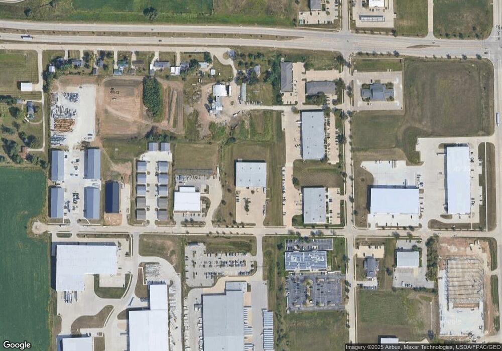
950 Capital Dr SW Cedar Rapids, IA 52404
Estimated Value: $2,436,150
--
Bed
--
Bath
24,500
Sq Ft
$99/Sq Ft
Est. Value
About This Home
This home is located at 950 Capital Dr SW, Cedar Rapids, IA 52404 and is currently estimated at $2,436,150, approximately $99 per square foot. 950 Capital Dr SW is a home located in Linn County with nearby schools including Prairie Crest Elementary School, Prairie Heights Elementary School, and Prairie View Elementary School.
Ownership History
Date
Name
Owned For
Owner Type
Purchase Details
Closed on
Oct 15, 2019
Sold by
The Barney And Pony Show Llc
Bought by
Janalyn F White Revocable Trust
Current Estimated Value
Home Financials for this Owner
Home Financials are based on the most recent Mortgage that was taken out on this home.
Original Mortgage
$1,570,126
Outstanding Balance
$1,375,509
Interest Rate
3.5%
Mortgage Type
Future Advance Clause Open End Mortgage
Estimated Equity
$1,060,641
Create a Home Valuation Report for This Property
The Home Valuation Report is an in-depth analysis detailing your home's value as well as a comparison with similar homes in the area
Home Values in the Area
Average Home Value in this Area
Purchase History
| Date | Buyer | Sale Price | Title Company |
|---|---|---|---|
| Janalyn F White Revocable Trust | $1,795,000 | None Available |
Source: Public Records
Mortgage History
| Date | Status | Borrower | Loan Amount |
|---|---|---|---|
| Open | Janalyn F White Revocable Trust | $1,570,126 |
Source: Public Records
Tax History Compared to Growth
Tax History
| Year | Tax Paid | Tax Assessment Tax Assessment Total Assessment is a certain percentage of the fair market value that is determined by local assessors to be the total taxable value of land and additions on the property. | Land | Improvement |
|---|---|---|---|---|
| 2025 | $53,384 | $1,636,800 | $370,500 | $1,266,300 |
| 2024 | $48,072 | $1,580,700 | $370,500 | $1,210,200 |
| 2023 | $48,072 | $1,520,000 | $370,500 | $1,149,500 |
| 2022 | $46,650 | $1,373,500 | $370,500 | $1,003,000 |
| 2021 | $41,652 | $2,376,500 | $370,500 | $2,006,000 |
| 2020 | $41,652 | $2,203,000 | $285,000 | $1,918,000 |
| 2019 | $41,184 | $1,253,800 | $285,000 | $968,800 |
| 2018 | $40,998 | $1,253,800 | $285,000 | $968,800 |
| 2017 | $35,450 | $1,094,600 | $285,000 | $809,600 |
| 2016 | $38,321 | $1,094,600 | $285,000 | $809,600 |
| 2015 | $37,687 | $1,084,574 | $285,000 | $799,574 |
| 2014 | $35,254 | $1,084,574 | $285,000 | $799,574 |
| 2013 | $37,828 | $1,084,574 | $285,000 | $799,574 |
Source: Public Records
Map
Nearby Homes
- 8905 6th St SW Unit Land Lease
- 0 Lawrence Drive East SW Unit A 2502372
- 0 Lawrence Drive East SW Unit B 2502371
- 0 Lawrence Drive West SW Unit C
- 69 Pompas SW
- 69 Pompas Dr
- Hamilton Plan at American Prairie
- Bellhaven Plan at American Prairie
- Roland Plan at American Prairie
- 160 Bethany Loop SW Unit D
- 160 Bethany Loop SW Unit C
- 160 Bethany Loop SW Unit B
- 160 Bethany Loop SW Unit A
- 9305 Snowberry Dr SW
- 8515 Aldridge Dr SW
- 9309 Snowberry Dr SW
- 9313 Snowberry Dr SW
- 0 6th St & 76th Ave SW Unit 202505956
- 9317 Snowberry Dr SW
- 9321 Snowberry Dr SW
- 9440 Atlantic Dr SW Unit 2
- 9440 Atlantic Dr SW
- 655 Capital Dr SW
- 655 Capital Dr SW Unit 500
- 655 Capital Dr SW Unit 400
- 655 Capital Dr SW Unit 100
- 655 Capital Dr SW Unit 600
- 655 Capital Dr SW Unit 300
- 655 Capital Dr SW Unit 200
- 9310 Atlantic Dr SW Unit A
- 9310 Atlantic Dr SW Unit 5
- 9310 Atlantic Dr SW
- 9310 Atlantic Dr SW Unit 2-5
- 9310 Atlantic Dr SW Unit 1,2,5
- 9310 Atlantic Dr SW Unit 1-2
- 9310 Atlantic Dr SW Unit 2
- 9310 Atlantic Dr SW Unit 1
- 1162B Capital Dr SW Unit A & B
- 1162B Capital Dr SW Unit A
- 1154 Capital Dr SW Unit B