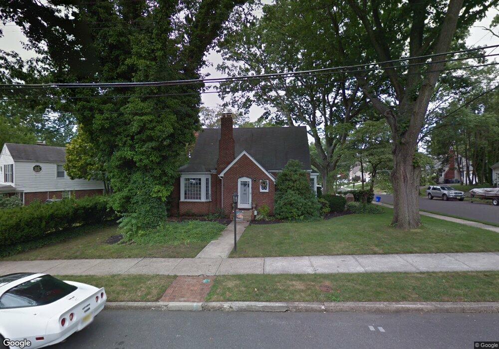
950 Devon Rd Haddonfield, NJ 08033
Estimated Value: $507,822 - $687,000
4
Beds
3
Baths
1,936
Sq Ft
$312/Sq Ft
Est. Value
About This Home
This home is located at 950 Devon Rd, Haddonfield, NJ 08033 and is currently estimated at $604,706, approximately $312 per square foot. 950 Devon Rd is a home located in Camden County with nearby schools including Avon Elementary School and Woodland Elementary School.
Ownership History
Date
Name
Owned For
Owner Type
Purchase Details
Closed on
Jul 14, 2010
Sold by
Harman Leila
Bought by
Mccafferty Anne
Current Estimated Value
Home Financials for this Owner
Home Financials are based on the most recent Mortgage that was taken out on this home.
Original Mortgage
$135,000
Outstanding Balance
$89,754
Interest Rate
4.73%
Mortgage Type
Purchase Money Mortgage
Estimated Equity
$514,952
Create a Home Valuation Report for This Property
The Home Valuation Report is an in-depth analysis detailing your home's value as well as a comparison with similar homes in the area
Home Values in the Area
Average Home Value in this Area
Purchase History
| Date | Buyer | Sale Price | Title Company |
|---|---|---|---|
| Mccafferty Anne | $210,000 | -- |
Source: Public Records
Mortgage History
| Date | Status | Borrower | Loan Amount |
|---|---|---|---|
| Open | Mccafferty Anne | $135,000 |
Source: Public Records
Tax History
| Year | Tax Paid | Tax Assessment Tax Assessment Total Assessment is a certain percentage of the fair market value that is determined by local assessors to be the total taxable value of land and additions on the property. | Land | Improvement |
|---|---|---|---|---|
| 2025 | $12,038 | $240,800 | $67,200 | $173,600 |
| 2024 | $11,132 | $240,800 | $67,200 | $173,600 |
| 2023 | $11,132 | $240,800 | $67,200 | $173,600 |
| 2022 | $10,894 | $240,800 | $67,200 | $173,600 |
| 2021 | $10,773 | $240,800 | $67,200 | $173,600 |
| 2020 | $10,595 | $240,800 | $67,200 | $173,600 |
| 2019 | $10,549 | $240,800 | $67,200 | $173,600 |
| 2018 | $10,130 | $240,800 | $67,200 | $173,600 |
| 2017 | $9,811 | $239,200 | $67,200 | $172,000 |
| 2016 | $10,495 | $284,800 | $96,700 | $188,100 |
| 2015 | $10,151 | $284,800 | $96,700 | $188,100 |
| 2014 | $9,723 | $284,800 | $96,700 | $188,100 |
Source: Public Records
Map
Nearby Homes
- 425 Peltoma Rd
- 396 Tavistock Blvd
- 1001 Wayne Rd
- 139 Treaty Elm Ln
- 342 Tavistock Blvd
- 104 Treaty Elm Ln
- 95 Lane of Acres
- 300 Copley Rd
- 413 Company St
- 370 Station Ave
- 0 Bell Ave
- 320 Company St
- 366 Independence Blvd
- 425 White Horse Pike
- 51 S Hinchman Ave
- 302 3rd Ave
- 26 E Phoenix Ave
- 127 W Cottage Ave
- 125 W Cottage Ave
- 121 Reillywood Ave
- 956 Devon Rd
- 437 Tavistock Blvd
- 436 Princeton Rd
- 500 Devon Rd
- 507 Tavistock Blvd
- 431 Tavistock Blvd
- 347 Peltoma Rd
- 430 Princeton Rd
- 506 Devon Rd
- 505 Tavistock Blvd
- 427 Peltoma Rd
- 442 Tavistock Blvd
- 436 Tavistock Blvd
- 425 Tavistock Blvd
- 450 Tavistock Blvd
- 430 Tavistock Blvd
- 508 Devon Rd
- 503 Tavistock Blvd
- 454 Tavistock Blvd
- 507 Devon Rd
Your Personal Tour Guide
Ask me questions while you tour the home.