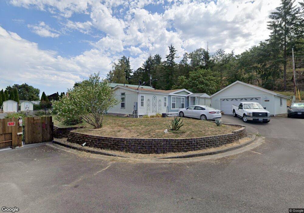
950 Shore St Sutherlin, OR 97479
Estimated Value: $279,000 - $321,000
3
Beds
2
Baths
1,404
Sq Ft
$213/Sq Ft
Est. Value
About This Home
This home is located at 950 Shore St, Sutherlin, OR 97479 and is currently estimated at $299,075, approximately $213 per square foot. 950 Shore St is a home located in Douglas County with nearby schools including East Sutherlin Primary School, West Sutherlin Intermediate School, and Sutherlin Middle School.
Ownership History
Date
Name
Owned For
Owner Type
Purchase Details
Closed on
Jun 5, 2017
Sold by
Upton Johnnie L
Bought by
Upton Johnnie and Upton Loving Trust
Current Estimated Value
Purchase Details
Closed on
May 30, 2017
Sold by
Miller Lori D
Bought by
Upton Johnnie L
Purchase Details
Closed on
Feb 15, 2007
Sold by
Charon Edward J and Charon Betty J
Bought by
Miller Lori D
Home Financials for this Owner
Home Financials are based on the most recent Mortgage that was taken out on this home.
Original Mortgage
$133,500
Interest Rate
6.19%
Mortgage Type
Construction
Create a Home Valuation Report for This Property
The Home Valuation Report is an in-depth analysis detailing your home's value as well as a comparison with similar homes in the area
Home Values in the Area
Average Home Value in this Area
Purchase History
| Date | Buyer | Sale Price | Title Company |
|---|---|---|---|
| Upton Johnnie | -- | None Available | |
| Upton Johnnie L | $165,000 | Ticor Title Company Of Or | |
| Miller Lori D | $68,500 | Amerititle |
Source: Public Records
Mortgage History
| Date | Status | Borrower | Loan Amount |
|---|---|---|---|
| Previous Owner | Miller Lori D | $133,500 |
Source: Public Records
Tax History Compared to Growth
Tax History
| Year | Tax Paid | Tax Assessment Tax Assessment Total Assessment is a certain percentage of the fair market value that is determined by local assessors to be the total taxable value of land and additions on the property. | Land | Improvement |
|---|---|---|---|---|
| 2024 | $1,489 | $119,425 | -- | -- |
| 2023 | $1,447 | $115,947 | $0 | $0 |
| 2022 | $1,405 | $112,581 | $0 | $0 |
| 2021 | $1,365 | $109,302 | $0 | $0 |
| 2020 | $1,325 | $106,119 | $0 | $0 |
| 2019 | $1,286 | $103,028 | $0 | $0 |
| 2018 | $1,249 | $100,026 | $0 | $0 |
| 2017 | $1,550 | $117,870 | $0 | $0 |
| 2016 | $1,505 | $114,437 | $0 | $0 |
| 2015 | $1,465 | $111,104 | $0 | $0 |
| 2014 | $1,422 | $107,868 | $0 | $0 |
| 2013 | -- | $104,727 | $0 | $0 |
Source: Public Records
Map
Nearby Homes
- 895 Valley Vista St
- 1000 E Central Ave Unit 2
- 1000 E Central Ave Unit 21
- 1340 Southside Rd
- 1200 E Central Ave Unit 128
- 1200 E Central Ave Unit 139
- 1200 E Central Ave Unit 80
- 1200 E Central Ave Unit 55
- 1200 E Central Ave Unit 101
- 1200 E Central Ave Unit 68A
- 1200 E Central Ave Unit 62
- 845 Forest Heights St
- 119 Terrace Ln
- 337 S Grove Ln
- 990 Forest Heights St
- 1028 Forest Heights St
- 550 S State St
- 550 S State St Unit 139
- 550 S State St Unit 115
- 776 E Fourth Ave
- 946 Shore St
- 952 Shore St
- 1055 Southside Rd
- 944 Shore St
- 1353 Southside Rd
- 942 Shore St
- 1071 Southside Rd
- 427 Crestview Ct
- 427 Crestview Ct Unit L 13
- 1099 Southside Rd
- 436 Crestview Ct Unit L 16
- 436 Crestview Ct
- 1215 Southside Rd
- 440 Crestview Ct Unit 15
- 440 Crestview Ct
- 440 Crestview Ct Unit 15
- 1445 Southside Rd
- 845 Sea St
- 846 Sea St
- 1235 Southside Rd