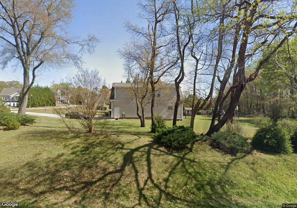
950 West Watson Rd Benson, NC 27504
Pleasant Grove NeighborhoodEstimated Value: $390,970 - $422,000
3
Beds
2
Baths
2,280
Sq Ft
$177/Sq Ft
Est. Value
About This Home
This home is located at 950 West Watson Rd, Benson, NC 27504 and is currently estimated at $403,993, approximately $177 per square foot. 950 West Watson Rd is a home located in Johnston County with nearby schools including McGee's Crossroads Elementary School, McGee's Crossroads Middle School, and West Johnston High School.
Ownership History
Date
Name
Owned For
Owner Type
Purchase Details
Closed on
Jan 31, 2007
Sold by
Carroll Construction Homes Inc
Bought by
Carter Douglas H and Fullerton Linda J
Current Estimated Value
Purchase Details
Closed on
Apr 20, 2006
Sold by
Son Lan Development Co Inc
Bought by
Golden Properties Of Nc Inc
Purchase Details
Closed on
Apr 11, 2006
Sold by
Son Lan Development Co Inc
Bought by
Carroll Construction Homes Inc
Purchase Details
Closed on
Feb 21, 2001
Sold by
Clifton Gerald G
Bought by
Clifton Gerald Garland
Create a Home Valuation Report for This Property
The Home Valuation Report is an in-depth analysis detailing your home's value as well as a comparison with similar homes in the area
Home Values in the Area
Average Home Value in this Area
Purchase History
| Date | Buyer | Sale Price | Title Company |
|---|---|---|---|
| Carter Douglas H | $220,000 | None Available | |
| Golden Properties Of Nc Inc | $140,000 | None Available | |
| Carroll Construction Homes Inc | $140,000 | None Available | |
| Clifton Gerald Garland | -- | -- |
Source: Public Records
Tax History
| Year | Tax Paid | Tax Assessment Tax Assessment Total Assessment is a certain percentage of the fair market value that is determined by local assessors to be the total taxable value of land and additions on the property. | Land | Improvement |
|---|---|---|---|---|
| 2025 | $2,517 | $396,400 | $85,000 | $311,400 |
| 2024 | $1,997 | $246,580 | $44,000 | $202,580 |
| 2023 | $1,936 | $246,580 | $44,000 | $202,580 |
| 2022 | $1,997 | $246,580 | $44,000 | $202,580 |
| 2021 | $1,997 | $246,580 | $44,000 | $202,580 |
| 2020 | $2,071 | $246,580 | $44,000 | $202,580 |
| 2019 | $2,022 | $246,580 | $44,000 | $202,580 |
| 2018 | $1,813 | $215,870 | $31,000 | $184,870 |
| 2017 | $1,813 | $215,870 | $31,000 | $184,870 |
| 2016 | $1,813 | $215,870 | $31,000 | $184,870 |
| 2015 | $1,813 | $215,870 | $31,000 | $184,870 |
| 2014 | $1,813 | $215,870 | $31,000 | $184,870 |
Source: Public Records
Map
Nearby Homes
- 154 Winter Red Way
- 118 Willard Wood Run
- 1190 Sanders Rd
- 405 La Vista Ct
- 182 Pleasant Ridge Ct
- 701 Highview Dr
- 691 Highview Dr
- 661 Highview Dr
- 370 Sanders Rd
- 576 Highview Dr
- 576 Highview Dr Unit 40
- 38 Gander Dr Unit 70
- 109 Quilting Dr
- 79 Stallion Way
- 108 Eddy Ct
- 66 Flannel Ct
- 56 Flannel Ct
- 56 Flannel Ct Unit 251
- 529 Highview Dr Unit 21
- 529 Highview Dr
- 24 Stone Gate Dr
- 44 Stone Gate Dr
- 869 West Watson Rd
- 23 Stone Gate Dr
- 28 Mineral Ct
- 61 Stone Gate Dr
- 800 West Watson Rd
- 19 Billet Ct
- 815 W Watson Rd
- 56 Mineral Ct
- 39 Billet Ct
- 815 West Watson Rd
- 800 W Watson Rd
- 815 W West Watson Rd
- 799 West Watson Rd
- 799 W Watson Rd
- 62 Mineral Ct
- 13 Mineral Ct
- 35 Mineral Ct
- 10 Billet Ct
Your Personal Tour Guide
Ask me questions while you tour the home.