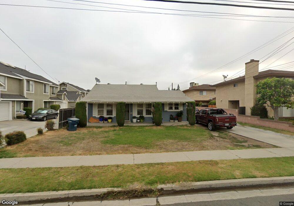
9509 Cedar St Unit 2 Bellflower, CA 90706
Estimated Value: $1,197,000 - $1,501,058
3
Beds
1
Bath
3,290
Sq Ft
$415/Sq Ft
Est. Value
About This Home
This home is located at 9509 Cedar St Unit 2, Bellflower, CA 90706 and is currently estimated at $1,364,265, approximately $414 per square foot. 9509 Cedar St Unit 2 is a home located in Los Angeles County with nearby schools including Craig Williams Elementary School, Mayfair High School, and St. Bernard School.
Ownership History
Date
Name
Owned For
Owner Type
Purchase Details
Closed on
Jan 28, 2015
Sold by
Koo Hoon
Bought by
Koo Hoon and Hermann Katherine
Current Estimated Value
Home Financials for this Owner
Home Financials are based on the most recent Mortgage that was taken out on this home.
Original Mortgage
$457,900
Outstanding Balance
$350,717
Interest Rate
3.76%
Mortgage Type
New Conventional
Estimated Equity
$1,013,548
Purchase Details
Closed on
Jul 15, 2009
Sold by
Koo Hoon and Herrmann Kathrine
Bought by
Koo Hoon
Home Financials for this Owner
Home Financials are based on the most recent Mortgage that was taken out on this home.
Original Mortgage
$502,900
Interest Rate
5.37%
Mortgage Type
New Conventional
Purchase Details
Closed on
Jun 23, 2005
Sold by
Koo Won Suh and Koo Duk Yi
Bought by
Koo Hoon
Purchase Details
Closed on
Sep 9, 2004
Sold by
Vong Mao
Bought by
Koo Won Suk and Koo Duk Yi
Home Financials for this Owner
Home Financials are based on the most recent Mortgage that was taken out on this home.
Original Mortgage
$455,000
Interest Rate
1%
Mortgage Type
Purchase Money Mortgage
Purchase Details
Closed on
Apr 13, 2004
Sold by
Vong Kanchuong
Bought by
Vong Mao
Home Financials for this Owner
Home Financials are based on the most recent Mortgage that was taken out on this home.
Original Mortgage
$529,000
Interest Rate
5.39%
Mortgage Type
New Conventional
Purchase Details
Closed on
Jul 3, 2003
Sold by
Basilious Alfred G and Basilious Camilla I
Bought by
Vong Mao and Vong Kanchuong
Home Financials for this Owner
Home Financials are based on the most recent Mortgage that was taken out on this home.
Original Mortgage
$520,000
Interest Rate
5.29%
Mortgage Type
Purchase Money Mortgage
Purchase Details
Closed on
Aug 1, 2002
Sold by
Tyo Joanne L and Helen F Tyo Trust
Bought by
Basilious Alfred G and Basilious Camilia I
Home Financials for this Owner
Home Financials are based on the most recent Mortgage that was taken out on this home.
Original Mortgage
$294,000
Interest Rate
6.37%
Create a Home Valuation Report for This Property
The Home Valuation Report is an in-depth analysis detailing your home's value as well as a comparison with similar homes in the area
Home Values in the Area
Average Home Value in this Area
Purchase History
| Date | Buyer | Sale Price | Title Company |
|---|---|---|---|
| Koo Hoon | -- | Orange Coast Title Company | |
| Koo Hoon | -- | Landsafe Title Pasadena | |
| Koo Hoon | -- | -- | |
| Koo Won Suk | $755,000 | Old Republic Title Company | |
| Vong Mao | -- | Fidelity National Title Co | |
| Vong Mao | $650,000 | Fidelity National Title Ins | |
| Basilious Alfred G | $428,000 | American Title Co |
Source: Public Records
Mortgage History
| Date | Status | Borrower | Loan Amount |
|---|---|---|---|
| Open | Koo Hoon | $457,900 | |
| Closed | Koo Hoon | $502,900 | |
| Previous Owner | Koo Won Suk | $455,000 | |
| Previous Owner | Vong Mao | $529,000 | |
| Previous Owner | Vong Mao | $520,000 | |
| Previous Owner | Basilious Alfred G | $294,000 |
Source: Public Records
Tax History
| Year | Tax Paid | Tax Assessment Tax Assessment Total Assessment is a certain percentage of the fair market value that is determined by local assessors to be the total taxable value of land and additions on the property. | Land | Improvement |
|---|---|---|---|---|
| 2025 | $12,890 | $1,052,388 | $571,496 | $480,892 |
| 2024 | $12,890 | $1,031,754 | $560,291 | $471,463 |
| 2023 | $12,379 | $1,011,524 | $549,305 | $462,219 |
| 2022 | $12,164 | $991,691 | $538,535 | $453,156 |
| 2021 | $11,915 | $972,247 | $527,976 | $444,271 |
| 2020 | $11,812 | $962,279 | $522,563 | $439,716 |
| 2019 | $11,612 | $943,412 | $512,317 | $431,095 |
| 2018 | $11,102 | $924,915 | $502,272 | $422,643 |
| 2016 | $9,901 | $820,000 | $445,300 | $374,700 |
| 2015 | $9,056 | $749,000 | $406,700 | $342,300 |
| 2014 | $8,457 | $690,000 | $374,700 | $315,300 |
Source: Public Records
Map
Nearby Homes
- 9319 Cedar St Unit C
- 9261 Cedar St
- 9133 Ramona St Unit 2
- 9240 Palm St
- 6118 Amos Ave
- 17046 Clark Ave
- 6127 Adenmoor Ave
- 9116 Palm St
- 5942 Fidler Ave
- 4415 Ashworth St
- 9725 Arkansas St
- 16919 Ardmore Ave
- 6119 Blackthorne Ave
- 5851 Premiere Ave
- 16822 Ardmore Ave
- 9929 Park St
- 9211 Walnut St
- 6007 Coldbrook Ave
- 9545 Flower St
- 6034 Pepperwood Ave
- 9509 Cedar St
- 9523 Cedar St
- 9457 Cedar St
- 9527 Cedar St
- 9455 1/2 Cedar St
- 9453 Cedar St
- 9447 Cedar St Unit B
- 9447 Cedar St Unit G
- 9447 Cedar St Unit D
- 9447 Cedar St Unit 4
- 9447 Cedar St
- 9447 Cedar St Unit 7A
- 9447 Cedar St Unit 6A
- 9447 Cedar St Unit 5A
- 9447 Cedar St Unit 4A
- 9447 Cedar St Unit 3A
- 9447 Cedar St Unit 2A
- 9447 Cedar St Unit 1A
- 9528 Ramona St
- 9439 Cedar St
Your Personal Tour Guide
Ask me questions while you tour the home.