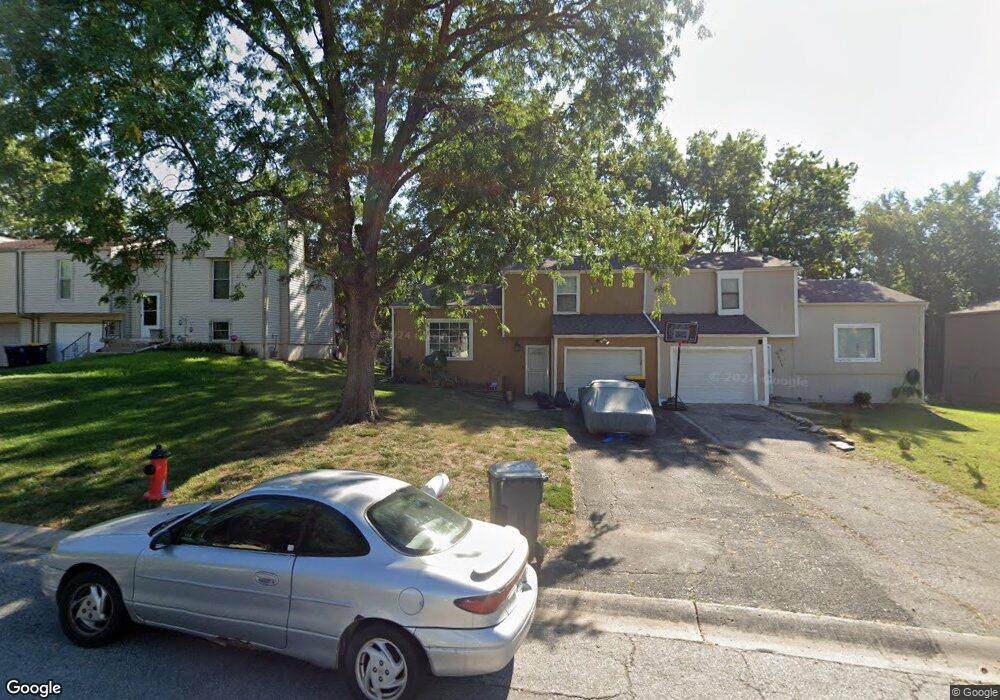
9509 Manning Ave Kansas City, MO 64134
Robandee South NeighborhoodEstimated Value: $121,000 - $147,000
2
Beds
2
Baths
892
Sq Ft
$147/Sq Ft
Est. Value
About This Home
This home is located at 9509 Manning Ave, Kansas City, MO 64134 and is currently estimated at $130,951, approximately $146 per square foot. 9509 Manning Ave is a home located in Jackson County with nearby schools including Truman Elementary School, St Regis School, and Islamic School of Greater Kansas City.
Ownership History
Date
Name
Owned For
Owner Type
Purchase Details
Closed on
Apr 26, 1996
Sold by
Thomas Phillip B and Thomas Karen S
Bought by
Howard Roberta Y
Current Estimated Value
Home Financials for this Owner
Home Financials are based on the most recent Mortgage that was taken out on this home.
Original Mortgage
$38,497
Outstanding Balance
$1,887
Interest Rate
7.78%
Mortgage Type
FHA
Estimated Equity
$129,064
Create a Home Valuation Report for This Property
The Home Valuation Report is an in-depth analysis detailing your home's value as well as a comparison with similar homes in the area
Home Values in the Area
Average Home Value in this Area
Purchase History
| Date | Buyer | Sale Price | Title Company |
|---|---|---|---|
| Howard Roberta Y | -- | -- |
Source: Public Records
Mortgage History
| Date | Status | Borrower | Loan Amount |
|---|---|---|---|
| Open | Howard Roberta Y | $38,497 |
Source: Public Records
Tax History Compared to Growth
Tax History
| Year | Tax Paid | Tax Assessment Tax Assessment Total Assessment is a certain percentage of the fair market value that is determined by local assessors to be the total taxable value of land and additions on the property. | Land | Improvement |
|---|---|---|---|---|
| 2025 | $1,830 | $20,102 | $2,516 | $17,586 |
| 2024 | $1,797 | $21,136 | $1,341 | $19,795 |
| 2023 | $1,797 | $21,135 | $2,694 | $18,441 |
| 2022 | $1,505 | $15,200 | $2,622 | $12,578 |
| 2021 | $1,298 | $15,200 | $2,622 | $12,578 |
| 2020 | $1,208 | $13,364 | $2,622 | $10,742 |
| 2019 | $1,142 | $13,364 | $2,622 | $10,742 |
| 2018 | $819 | $8,949 | $872 | $8,077 |
| 2017 | $822 | $8,949 | $872 | $8,077 |
| 2016 | $822 | $8,726 | $1,441 | $7,285 |
| 2014 | $813 | $8,726 | $1,441 | $7,285 |
Source: Public Records
Map
Nearby Homes
- 9525 Manning Ave
- 9414 Lewis Ave
- 9721 Elm Ave
- 8700 E Bannister Terrace
- 9033 E 90th Terrace
- 9609 Ditman Way
- 8641 E 97th Terrace
- 9218 Mckinley St
- 9624 Ditman Way
- 9006 Tennessee Ave
- 9425 E 90th Terrace
- 9525 Wallace Ave
- 8416 E 92nd Place
- 8602 E 91st Terrace
- 8916 E 89th Terrace
- 9109 E 89th St
- 8925 E 89th St
- 9714 Donnelly Ave
- 9203 Marsh Ave
- 9812 Marsh Ave
- 9503 Manning Ave
- 9511 Manning Ave
- 9517 Manning Ave
- 9501 Manning Ave
- 9512 Manning Ave
- 9500 Manning Ave
- 9521 Manning Ave
- 9508 Manning Ave
- 9504 Manning Ave
- 9520 Manning Ave
- 9527 Manning Ave
- 9524 Manning Ave
- 9529 Manning Ave
- 9533 Manning Ave
- 9532 Manning Ave
- 9536 Manning Ave
- 9537 Manning Ave
- 9540 Manning Ave
- 9541 Manning Ave
- 9544 Manning Ave