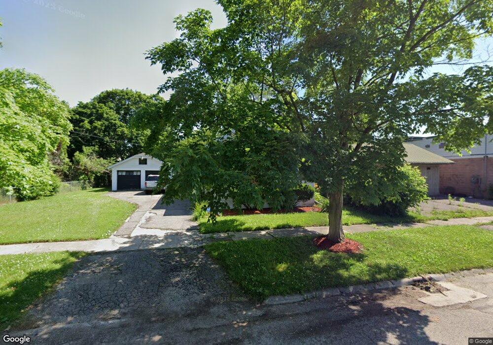
951 Crawford St Unit Bldg-Unit Flint, MI 48507
South Side NeighborhoodEstimated Value: $39,000 - $74,000
2
Beds
1
Bath
960
Sq Ft
$60/Sq Ft
Est. Value
About This Home
This home is located at 951 Crawford St Unit Bldg-Unit, Flint, MI 48507 and is currently estimated at $57,919, approximately $60 per square foot. 951 Crawford St Unit Bldg-Unit is a home located in Genesee County with nearby schools including Neithercut Elementary School, Flint Southwestern Classical Academy, and International Academy of Flint (K-12).
Ownership History
Date
Name
Owned For
Owner Type
Purchase Details
Closed on
Mar 6, 2018
Sold by
Federal Home Loan Mortgage Corporation
Bought by
Moore Hosea L
Current Estimated Value
Purchase Details
Closed on
Nov 27, 2017
Sold by
Ocwen Loan Servicing Llc
Bought by
Federal Home Loan Mortgage Corporation
Purchase Details
Closed on
Oct 24, 2017
Sold by
Smith Archie L and Smith Karla R Amoss
Bought by
Oewen Loan Servicing Llc
Purchase Details
Closed on
Nov 19, 2003
Sold by
Carter Ken R and Carter Dean A
Bought by
Smith Archie L
Create a Home Valuation Report for This Property
The Home Valuation Report is an in-depth analysis detailing your home's value as well as a comparison with similar homes in the area
Home Values in the Area
Average Home Value in this Area
Purchase History
| Date | Buyer | Sale Price | Title Company |
|---|---|---|---|
| Moore Hosea L | $11,000 | None Available | |
| Federal Home Loan Mortgage Corporation | -- | None Available | |
| Oewen Loan Servicing Llc | $11,000 | None Available | |
| Smith Archie L | $70,000 | Guaranty Title Company |
Source: Public Records
Tax History Compared to Growth
Tax History
| Year | Tax Paid | Tax Assessment Tax Assessment Total Assessment is a certain percentage of the fair market value that is determined by local assessors to be the total taxable value of land and additions on the property. | Land | Improvement |
|---|---|---|---|---|
| 2025 | $1,421 | $22,400 | $0 | $0 |
| 2024 | $1,310 | $23,200 | $0 | $0 |
| 2023 | $1,275 | $18,700 | $0 | $0 |
| 2022 | $0 | $15,800 | $0 | $0 |
| 2021 | $1,296 | $14,200 | $0 | $0 |
| 2020 | $1,198 | $14,200 | $0 | $0 |
| 2019 | $1,202 | $14,500 | $0 | $0 |
| 2018 | $1,070 | $12,800 | $0 | $0 |
| 2017 | $1,041 | $0 | $0 | $0 |
| 2016 | $1,034 | $0 | $0 | $0 |
| 2015 | -- | $0 | $0 | $0 |
| 2014 | -- | $0 | $0 | $0 |
| 2012 | -- | $15,600 | $0 | $0 |
Source: Public Records
Map
Nearby Homes
- 1015 Alvord Ave
- 1028 Campbell St
- 845 Alvord Ave
- 818 Alvord Ave
- 4418 Brunswick Ave
- 829 Clinton St
- 1031 Ingleside Ave
- 1102 W Atherton Rd
- 805 Alvord Ave
- 1212 Crawford St
- 822 Campbell St
- 1228 Leland St
- 1234 Huron St
- 1122 Markham St
- 1310 Huron St
- 1039 Markham St
- 1101 Lincoln Ave
- 738 W Atherton Rd
- 1225 Waldman Ave
- 1318 Ingleside Ave
- 951 Crawford St
- 943 Crawford St
- 4101 Fenton Rd
- 944 Alvord Ave
- 939 Crawford St
- 936 Alvord Ave
- 932 Alvord Ave
- 4100 Fenton Rd
- 936 Crawford St
- 923 Crawford St
- 4009 Fenton Rd
- 928 Crawford St
- 924 Alvord Ave
- 4010 Fenton Rd
- 949 Alvord Ave
- 4014 Fenton Rd
- 4022 Fenton Rd
- 939 Alvord Ave
- 924 Crawford St
- 4205 Fenton Rd