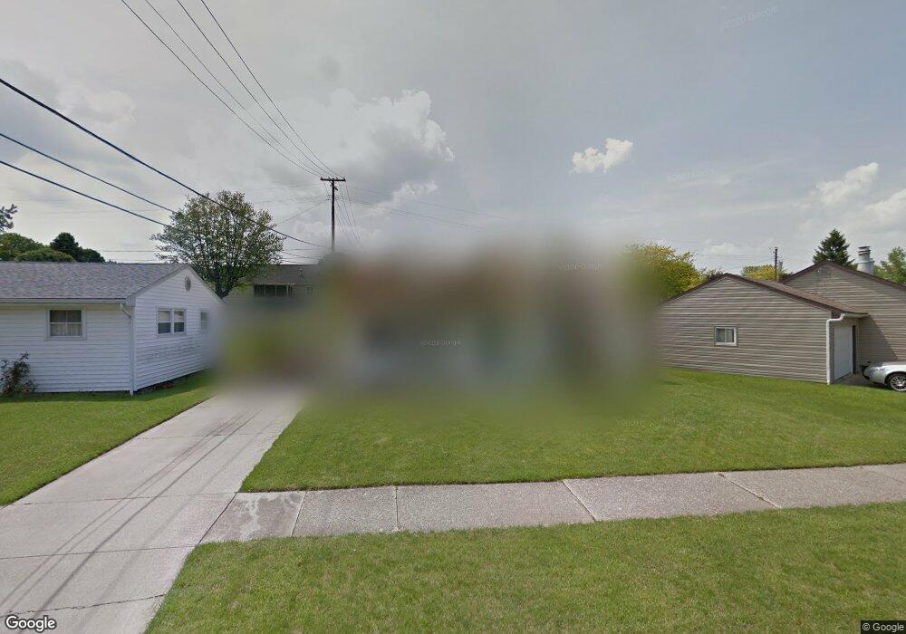
951 James Rd Lancaster, OH 43130
Estimated Value: $204,000 - $235,000
3
Beds
1
Bath
1,296
Sq Ft
$171/Sq Ft
Est. Value
About This Home
This home is located at 951 James Rd, Lancaster, OH 43130 and is currently estimated at $222,145, approximately $171 per square foot. 951 James Rd is a home located in Fairfield County with nearby schools including Medill Elementary School, Thomas Ewing Junior High School, and Lancaster High School.
Ownership History
Date
Name
Owned For
Owner Type
Purchase Details
Closed on
Mar 12, 2004
Sold by
Eaton Mickey E and Eaton Elizabeth A
Bought by
Swartz Linda M and Swartz Charles
Current Estimated Value
Home Financials for this Owner
Home Financials are based on the most recent Mortgage that was taken out on this home.
Original Mortgage
$96,425
Outstanding Balance
$45,412
Interest Rate
5.78%
Mortgage Type
FHA
Estimated Equity
$176,733
Purchase Details
Closed on
Jan 4, 2001
Sold by
Kilbarger William R
Bought by
Eaton Mickey E and Eaton Elizabeth A
Home Financials for this Owner
Home Financials are based on the most recent Mortgage that was taken out on this home.
Original Mortgage
$80,000
Interest Rate
8.62%
Mortgage Type
New Conventional
Purchase Details
Closed on
May 1, 1998
Sold by
Stebleton Ruth L
Bought by
Kilbarger William R and Kilbarger Jan E
Create a Home Valuation Report for This Property
The Home Valuation Report is an in-depth analysis detailing your home's value as well as a comparison with similar homes in the area
Home Values in the Area
Average Home Value in this Area
Purchase History
| Date | Buyer | Sale Price | Title Company |
|---|---|---|---|
| Swartz Linda M | $100,000 | Title First Agency Inc | |
| Eaton Mickey E | $60,000 | -- | |
| Kilbarger William R | $61,500 | -- |
Source: Public Records
Mortgage History
| Date | Status | Borrower | Loan Amount |
|---|---|---|---|
| Open | Swartz Linda M | $96,425 | |
| Closed | Eaton Mickey E | $80,000 |
Source: Public Records
Tax History Compared to Growth
Tax History
| Year | Tax Paid | Tax Assessment Tax Assessment Total Assessment is a certain percentage of the fair market value that is determined by local assessors to be the total taxable value of land and additions on the property. | Land | Improvement |
|---|---|---|---|---|
| 2024 | $4,459 | $49,600 | $10,710 | $38,890 |
| 2023 | $1,804 | $49,600 | $10,710 | $38,890 |
| 2022 | $1,811 | $49,600 | $10,710 | $38,890 |
| 2021 | $1,446 | $37,090 | $8,930 | $28,160 |
| 2020 | $1,385 | $37,090 | $8,930 | $28,160 |
| 2019 | $1,317 | $37,090 | $8,930 | $28,160 |
| 2018 | $1,181 | $28,130 | $8,930 | $19,200 |
| 2017 | $1,181 | $31,580 | $8,930 | $22,650 |
| 2016 | $1,150 | $31,580 | $8,930 | $22,650 |
| 2015 | $1,146 | $30,530 | $8,930 | $21,600 |
| 2014 | $1,091 | $30,530 | $8,930 | $21,600 |
| 2013 | $1,091 | $30,530 | $8,930 | $21,600 |
Source: Public Records
Map
Nearby Homes
- 1275 Wetsell Ave
- 1522 Pleasantview Dr
- 1066 Lanreco Blvd
- 1660 Lynn Dr
- 1159 E Fair Ave
- 1150 E Fair Ave
- 1246 Stoneridge Place
- 1264 Stonehill Ln Unit 1264
- 105 Dogwood Ln
- 608 Sheridan Dr
- 1411 Epworth Forest Dr
- 1020 Sycamore Dr
- 1415 Epworth Forest Dr
- 1080 Sycamore Dr
- 831 Franklin Ave
- 1413 E Mulberry St
- 146 Hickory Ln
- 534 Overlook Dr NE
- 134 Kanawha Rd
- 1331 Marietta Rd