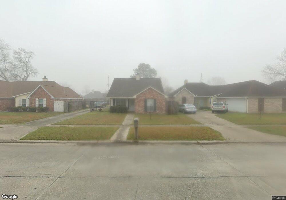
951 Mavis Dr Baton Rouge, LA 70810
Estimated Value: $188,000 - $204,000
3
Beds
2
Baths
1,225
Sq Ft
$161/Sq Ft
Est. Value
About This Home
This home is located at 951 Mavis Dr, Baton Rouge, LA 70810 and is currently estimated at $197,702, approximately $161 per square foot. 951 Mavis Dr is a home located in East Baton Rouge Parish with nearby schools including Westdale Middle School, Tara High School, and South Baton Rouge Charter Academy.
Ownership History
Date
Name
Owned For
Owner Type
Purchase Details
Closed on
Mar 11, 2008
Sold by
Arnold Investments
Bought by
Horton Daryl J
Current Estimated Value
Home Financials for this Owner
Home Financials are based on the most recent Mortgage that was taken out on this home.
Original Mortgage
$146,697
Outstanding Balance
$91,292
Interest Rate
5.72%
Mortgage Type
FHA
Estimated Equity
$106,410
Purchase Details
Closed on
Mar 1, 2007
Sold by
Wells Fargo Bank
Bought by
H U D
Create a Home Valuation Report for This Property
The Home Valuation Report is an in-depth analysis detailing your home's value as well as a comparison with similar homes in the area
Home Values in the Area
Average Home Value in this Area
Purchase History
| Date | Buyer | Sale Price | Title Company |
|---|---|---|---|
| Horton Daryl J | $149,000 | -- | |
| H U D | $98,500 | -- |
Source: Public Records
Mortgage History
| Date | Status | Borrower | Loan Amount |
|---|---|---|---|
| Open | Horton Daryl J | $146,697 |
Source: Public Records
Tax History Compared to Growth
Tax History
| Year | Tax Paid | Tax Assessment Tax Assessment Total Assessment is a certain percentage of the fair market value that is determined by local assessors to be the total taxable value of land and additions on the property. | Land | Improvement |
|---|---|---|---|---|
| 2024 | $1,250 | $16,830 | $1,540 | $15,290 |
| 2023 | $1,250 | $16,830 | $1,540 | $15,290 |
| 2022 | $2,111 | $16,830 | $1,540 | $15,290 |
| 2021 | $2,074 | $16,830 | $1,540 | $15,290 |
| 2020 | $2,055 | $16,830 | $1,540 | $15,290 |
| 2019 | $1,955 | $15,300 | $1,400 | $13,900 |
| 2018 | $1,932 | $15,300 | $1,400 | $13,900 |
| 2017 | $1,932 | $15,300 | $1,400 | $13,900 |
| 2016 | $1,026 | $15,300 | $1,400 | $13,900 |
| 2015 | $993 | $14,900 | $1,400 | $13,500 |
| 2014 | $975 | $14,900 | $1,400 | $13,500 |
| 2013 | -- | $14,900 | $1,400 | $13,500 |
Source: Public Records
Map
Nearby Homes
- 924 Elvin Dr
- 9132 Gsri Ave
- 9414 Pecan Tree Dr
- 8911 Gsri Ave Unit 1325 D
- 9024 Pecan Tree Dr
- 8805 Gsri Ave
- 8734 Gsri Ave
- 9930 Glavin Dr
- 8952 Pecan Tree Dr
- 8828 Gsri Ave
- 809 Summer Breeze Dr Unit 703
- 809 Summer Breeze Dr Unit 903
- 809 Summer Breeze Dr Unit 1202
- 809 Summer Breeze Dr Unit 1405
- 809 Summer Breeze Dr Unit 410
- 809 Summer Breeze Dr Unit 1504
- 9131 Ridge Pecan Dr
- 8818 Gsri Ave
- TBD Bonnet Cove Ave
- 1646 Jade Ave