9510 Split Log Rd Brentwood, TN 37027
Estimated Value: $1,164,000 - $1,626,000
--
Bed
2
Baths
2,443
Sq Ft
$557/Sq Ft
Est. Value
About This Home
This home is located at 9510 Split Log Rd, Brentwood, TN 37027 and is currently estimated at $1,360,969, approximately $557 per square foot. 9510 Split Log Rd is a home located in Williamson County with nearby schools including Kenrose Elementary School, Woodland Middle School, and Ravenwood High School.
Ownership History
Date
Name
Owned For
Owner Type
Purchase Details
Closed on
Jul 1, 2015
Sold by
Beyer Dennis Charles and Beyer Lynne P
Bought by
Selman Paul T and Selman Bourdonna
Current Estimated Value
Home Financials for this Owner
Home Financials are based on the most recent Mortgage that was taken out on this home.
Original Mortgage
$352,000
Outstanding Balance
$275,043
Interest Rate
3.92%
Mortgage Type
New Conventional
Estimated Equity
$1,085,926
Purchase Details
Closed on
Nov 26, 2014
Sold by
Jw Homes Llc
Bought by
Johnson Corbin and Johnson Karu
Home Financials for this Owner
Home Financials are based on the most recent Mortgage that was taken out on this home.
Original Mortgage
$733,353
Interest Rate
4%
Mortgage Type
New Conventional
Create a Home Valuation Report for This Property
The Home Valuation Report is an in-depth analysis detailing your home's value as well as a comparison with similar homes in the area
Home Values in the Area
Average Home Value in this Area
Purchase History
| Date | Buyer | Sale Price | Title Company |
|---|---|---|---|
| Selman Paul T | $495,000 | None Available | |
| Johnson Corbin | $814,837 | Foundation Title & Escrow |
Source: Public Records
Mortgage History
| Date | Status | Borrower | Loan Amount |
|---|---|---|---|
| Open | Selman Paul T | $352,000 | |
| Previous Owner | Johnson Corbin | $733,353 |
Source: Public Records
Tax History Compared to Growth
Tax History
| Year | Tax Paid | Tax Assessment Tax Assessment Total Assessment is a certain percentage of the fair market value that is determined by local assessors to be the total taxable value of land and additions on the property. | Land | Improvement |
|---|---|---|---|---|
| 2024 | $4,025 | $185,500 | $138,650 | $46,850 |
| 2023 | $4,025 | $185,500 | $138,650 | $46,850 |
| 2022 | $4,025 | $185,500 | $138,650 | $46,850 |
| 2021 | $4,025 | $185,500 | $138,650 | $46,850 |
| 2020 | $3,693 | $143,175 | $92,425 | $50,750 |
| 2019 | $3,693 | $143,175 | $92,425 | $50,750 |
| 2018 | $3,593 | $143,175 | $92,425 | $50,750 |
| 2017 | $3,565 | $143,175 | $92,425 | $50,750 |
| 2016 | $0 | $125,900 | $92,425 | $33,475 |
| 2015 | -- | $103,000 | $71,100 | $31,900 |
| 2014 | -- | $103,000 | $71,100 | $31,900 |
Source: Public Records
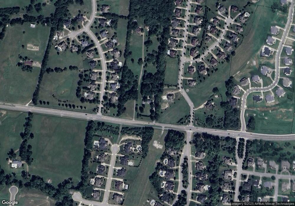
Map
Nearby Homes
- 1801 Morgan Farms Way
- 1807 Morgan Farms Way
- 1742 Barrow Ln
- 1868 Traditions Cir
- 1824 Barnstaple Ln
- 9514 Glenfiddich Trace
- 9454 Chaucers Ct
- 1852 Traditions Cir
- 1761 Charity Dr
- 9560 Dresden Square
- 9479 Helston Ct
- 1898 Traditions Cir
- 1832 Ivy Crest Dr
- 1851 Barnstaple Ln
- 1800 Grey Pointe Dr
- 1931 Parade Dr
- 1901 New Bristol Ln
- 0 Dartmouth Dr Unit 24506429
- 0 Dartmouth Dr Unit RTC2974335
- 0 Dartmouth Dr Unit RTC2974334
- 44 Balvenie Crt*lot 44
- 1797 MacAllan Dr
- 1800 Northumberland Dr
- 1 MacAllan Dr*lot 1
- 1798 Northumberland Dr
- 1861 MacAllan Dr
- 1796 Northumberland Dr
- 4 MacAllan Dr*lot 4
- 48 Balvenie Crt* Lot 48
- 1794 Northumberland Dr
- 1800 Camborne Place Unit 5
- 1800 Camborne Place
- 1800 Camborne Place
- 1796 MacAllan Dr
- 1796 MacAllan Dr
- 178 MacAllan Dr*lot 34
- 47 Balvenie Crt*lot 47
- 45 Balvenie Crt Lot 45
- 1801 Morgan Farms Way
- 1794 MacAllan Dr