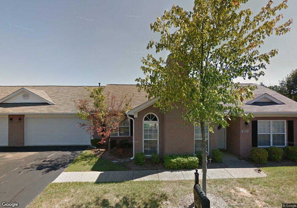
9511 Antioch Dr Louisville, KY 40291
Estimated Value: $302,000 - $368,000
4
Beds
2
Baths
1,682
Sq Ft
$193/Sq Ft
Est. Value
About This Home
This home is located at 9511 Antioch Dr, Louisville, KY 40291 and is currently estimated at $324,828, approximately $193 per square foot. 9511 Antioch Dr is a home located in Jefferson County with nearby schools including Wilt Elementary School, Bates Elementary School, and Fern Creek Elementary School.
Ownership History
Date
Name
Owned For
Owner Type
Purchase Details
Closed on
Dec 28, 2016
Sold by
Louisville Jefferson County Metro Govern
Bought by
Riverport Development Llc
Current Estimated Value
Home Financials for this Owner
Home Financials are based on the most recent Mortgage that was taken out on this home.
Original Mortgage
$265,000
Outstanding Balance
$217,253
Interest Rate
3.94%
Mortgage Type
Commercial
Estimated Equity
$107,575
Create a Home Valuation Report for This Property
The Home Valuation Report is an in-depth analysis detailing your home's value as well as a comparison with similar homes in the area
Home Values in the Area
Average Home Value in this Area
Purchase History
| Date | Buyer | Sale Price | Title Company |
|---|---|---|---|
| Riverport Development Llc | -- | Bond Financing Title Agency |
Source: Public Records
Mortgage History
| Date | Status | Borrower | Loan Amount |
|---|---|---|---|
| Open | Riverport Development Llc | $265,000 |
Source: Public Records
Tax History Compared to Growth
Tax History
| Year | Tax Paid | Tax Assessment Tax Assessment Total Assessment is a certain percentage of the fair market value that is determined by local assessors to be the total taxable value of land and additions on the property. | Land | Improvement |
|---|---|---|---|---|
| 2024 | $1,949 | $216,600 | $47,700 | $168,900 |
| 2023 | $2,006 | $216,600 | $47,700 | $168,900 |
| 2022 | $2,082 | $180,040 | $36,000 | $144,040 |
| 2021 | $1,766 | $180,040 | $36,000 | $144,040 |
| 2020 | $1,657 | $180,040 | $36,000 | $144,040 |
| 2019 | $1,525 | $180,040 | $36,000 | $144,040 |
| 2018 | $1,525 | $180,040 | $36,000 | $144,040 |
| 2017 | $1,495 | $180,040 | $36,000 | $144,040 |
| 2013 | $1,540 | $154,000 | $25,000 | $129,000 |
Source: Public Records
Map
Nearby Homes
- 8620 Garden Gate Cir
- 9703 Fairmount Rd
- 10115 Landwood Dr
- 8221 Cedar Crest Ln
- 10004 Sedona Dr
- 10007 Tuscany Ridge Ct
- 10011 Sedona Dr
- 8624 Glenmary Cove Way
- 10708 Black Iron Rd
- 11205 Kaufman Farm Dr
- Hudson Plan at Windcrest Farms - Paired Patio Homes Collection
- Fairfax Plan at Windcrest Farms - Maple Street Collection
- Jensen Plan at Windcrest Farms - Maple Street Collection
- Wesley Plan at Windcrest Farms - Maple Street Collection
- DaVinci Plan at Windcrest Farms - Maple Street Collection
- Cumberland Plan at Windcrest Farms - Maple Street Collection
- Wembley Plan at Windcrest Farms - Paired Patio Homes Collection
- Breckenridge Plan at Windcrest Farms - Maple Street Collection
- Greenbriar Plan at Windcrest Farms - Maple Street Collection
- Danville Plan at Windcrest Farms - Maple Street Collection
- 9606 River Birch Dr
- 9604 River Birch Dr
- 10903 Cambridge Commons Dr
- 10906 Cambridge Commons Dr
- 10902 Oxford Commons Ct
- 10902 Cambridge Commons Dr
- 9507 Antioch Dr
- 9602 River Birch Dr
- 9700 River Birch Dr
- 10903 Oxford Commons Ct
- 10901 Cambridge Commons Dr
- 10900 Oxford Commons Ct
- 10900 Oxford Commons Ct Unit 84
- 11000 River Birch Way
- 11000 River Birch Way Unit 60
- 11001 Cambridge Commons Dr
- 10900 Cambridge Commons Dr
- 9702 River Birch Dr
- 10901 Oxford Commons Ct
- 9600 River Birch Dr