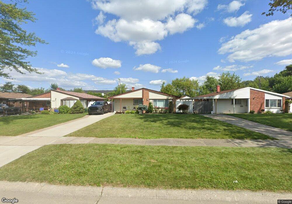
9513 Polk St Unit Bldg-Unit Taylor, MI 48180
Estimated Value: $163,040 - $171,000
--
Bed
1
Bath
1,079
Sq Ft
$154/Sq Ft
Est. Value
About This Home
This home is located at 9513 Polk St Unit Bldg-Unit, Taylor, MI 48180 and is currently estimated at $166,010, approximately $153 per square foot. 9513 Polk St Unit Bldg-Unit is a home located in Wayne County with nearby schools including Blair Moody Elementary School, Robert J. West Middle School, and Taylor Preparatory High School.
Ownership History
Date
Name
Owned For
Owner Type
Purchase Details
Closed on
Dec 5, 2019
Sold by
Heberti Francis L
Bought by
Nino Jessica L
Current Estimated Value
Home Financials for this Owner
Home Financials are based on the most recent Mortgage that was taken out on this home.
Original Mortgage
$104,400
Outstanding Balance
$92,044
Interest Rate
3.6%
Mortgage Type
New Conventional
Estimated Equity
$73,966
Purchase Details
Closed on
Mar 6, 2018
Sold by
Harwood Housing & Investments Llc
Bought by
Hebert Francis L
Purchase Details
Closed on
Mar 13, 2017
Sold by
Secretary Of Housing And Urban Developme
Bought by
Harwood Housing & Investments Llc
Purchase Details
Closed on
Aug 19, 2016
Sold by
Selene Finance Lp
Bought by
The Secretary Of Housing And Urban Devel
Create a Home Valuation Report for This Property
The Home Valuation Report is an in-depth analysis detailing your home's value as well as a comparison with similar homes in the area
Home Values in the Area
Average Home Value in this Area
Purchase History
| Date | Buyer | Sale Price | Title Company |
|---|---|---|---|
| Nino Jessica L | $115,000 | Michigan Title Ins Agcy Inc | |
| Hebert Francis L | $100,000 | None Available | |
| Harwood Housing & Investments Llc | $38,652 | None Available | |
| The Secretary Of Housing And Urban Devel | -- | None Available |
Source: Public Records
Mortgage History
| Date | Status | Borrower | Loan Amount |
|---|---|---|---|
| Open | Nino Jessica L | $104,400 |
Source: Public Records
Tax History Compared to Growth
Tax History
| Year | Tax Paid | Tax Assessment Tax Assessment Total Assessment is a certain percentage of the fair market value that is determined by local assessors to be the total taxable value of land and additions on the property. | Land | Improvement |
|---|---|---|---|---|
| 2025 | $2,044 | $74,400 | $0 | $0 |
| 2024 | $2,044 | $69,600 | $0 | $0 |
| 2023 | $2,440 | $57,300 | $0 | $0 |
| 2022 | $1,951 | $50,200 | $0 | $0 |
| 2021 | $2,146 | $46,100 | $0 | $0 |
| 2020 | $2,125 | $40,800 | $0 | $0 |
| 2019 | $1,777 | $0 | $0 | $0 |
| 2018 | $1,849 | $30,300 | $0 | $0 |
| 2017 | $727 | $30,300 | $0 | $0 |
| 2016 | $1,415 | $29,600 | $0 | $0 |
| 2015 | $2,570 | $25,800 | $0 | $0 |
| 2013 | $2,550 | $26,000 | $0 | $0 |
| 2012 | $1,118 | $26,000 | $8,400 | $17,600 |
Source: Public Records
Map
Nearby Homes
- 9444 Polk St
- 20812 Wick Rd
- 21059 Wick Rd
- 9134 Weddel St
- 21056 Wick Rd
- 20968 Shannon St
- 8951 Rackham St
- 20100 Wick Rd
- 8910 Mason St
- 9993 Allen Pointe Dr
- 9949 Allen Pointe Dr Unit 14
- 10045 Allen Pointe Dr Unit 96
- 10037 Allen Pointe Dr Unit 92
- 9125 Dudley St
- 10109 Allen Pointe Dr Unit 129
- 10578 Island Lake Dr
- 9062 Monroe Blvd
- 10065 Northway Ave
- 9883 Roosevelt St
- 22150 Haig St