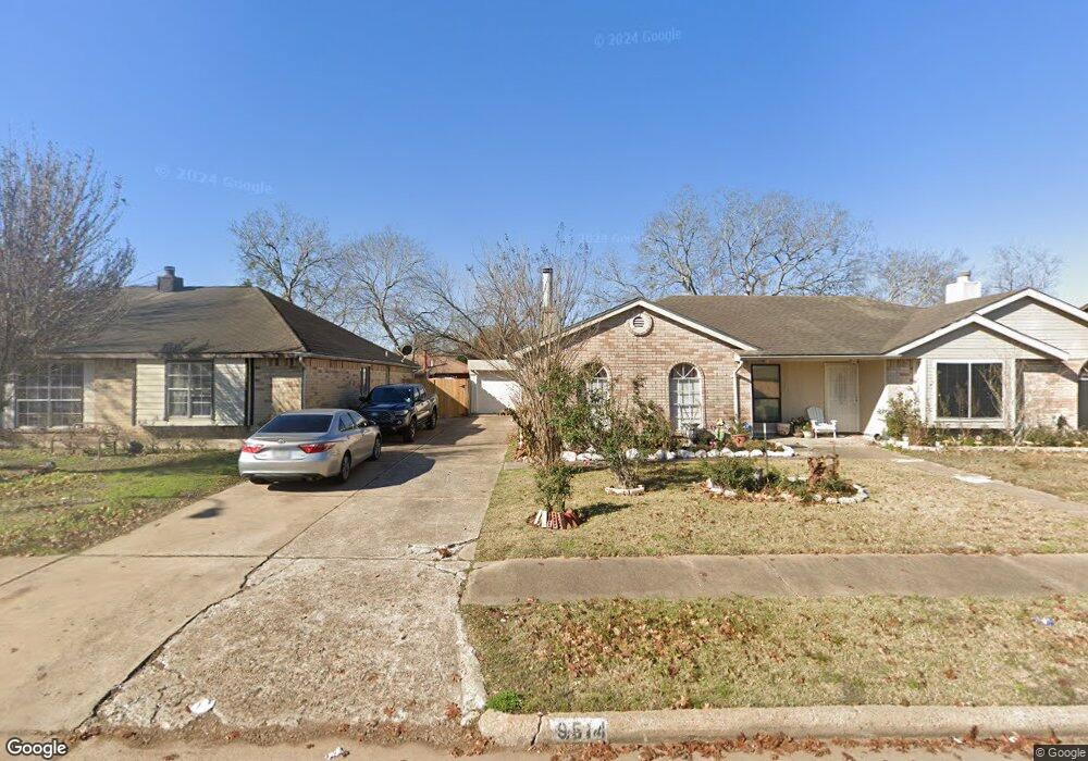
9514 Stockwell Dr Unit 1 Houston, TX 77083
Alief NeighborhoodEstimated Value: $165,506 - $179,000
2
Beds
1
Bath
1,044
Sq Ft
$165/Sq Ft
Est. Value
About This Home
This home is located at 9514 Stockwell Dr Unit 1, Houston, TX 77083 and is currently estimated at $172,627, approximately $165 per square foot. 9514 Stockwell Dr Unit 1 is a home located in Harris County with nearby schools including Hicks Elementary School, Youngblood Intermediate School, and Albright Middle School.
Ownership History
Date
Name
Owned For
Owner Type
Purchase Details
Closed on
Mar 4, 2016
Sold by
Najar Alfredo B and Najar Yolanda
Bought by
Zelaya Lina M Cerritos
Current Estimated Value
Purchase Details
Closed on
Jun 30, 2005
Sold by
Dubin Gerald H
Bought by
Najar Alfredo B
Home Financials for this Owner
Home Financials are based on the most recent Mortgage that was taken out on this home.
Original Mortgage
$58,410
Interest Rate
5.67%
Mortgage Type
Fannie Mae Freddie Mac
Create a Home Valuation Report for This Property
The Home Valuation Report is an in-depth analysis detailing your home's value as well as a comparison with similar homes in the area
Home Values in the Area
Average Home Value in this Area
Purchase History
| Date | Buyer | Sale Price | Title Company |
|---|---|---|---|
| Zelaya Lina M Cerritos | -- | None Available | |
| Najar Alfredo B | -- | Texas American Title Company |
Source: Public Records
Mortgage History
| Date | Status | Borrower | Loan Amount |
|---|---|---|---|
| Previous Owner | Najar Alfredo B | $58,410 |
Source: Public Records
Tax History Compared to Growth
Tax History
| Year | Tax Paid | Tax Assessment Tax Assessment Total Assessment is a certain percentage of the fair market value that is determined by local assessors to be the total taxable value of land and additions on the property. | Land | Improvement |
|---|---|---|---|---|
| 2025 | $81 | $160,686 | $32,200 | $128,486 |
| 2024 | $81 | $145,927 | $32,200 | $113,727 |
| 2023 | $81 | $145,927 | $32,200 | $113,727 |
| 2022 | $2,863 | $116,005 | $32,200 | $83,805 |
| 2021 | $2,776 | $100,826 | $20,700 | $80,126 |
| 2020 | $2,889 | $100,826 | $20,700 | $80,126 |
| 2019 | $2,689 | $91,847 | $15,180 | $76,667 |
| 2018 | $0 | $86,934 | $15,180 | $71,754 |
| 2017 | $2,545 | $86,934 | $15,180 | $71,754 |
| 2016 | $2,157 | $73,682 | $15,180 | $58,502 |
| 2015 | $2,098 | $66,430 | $15,180 | $51,250 |
| 2014 | $2,098 | $70,858 | $15,180 | $55,678 |
Source: Public Records
Map
Nearby Homes
- 9631 Stockwell Dr
- 13518 Oak Bend Forest Dr
- 9519 Wellsworth Dr
- 9507 Wellsworth Dr
- 9614 Wellsworth Dr
- 9415 Danforth Way
- 13807 Bonnetbriar Ln
- 0 Bellknap Rd
- 00 Bellknap Rd
- 9330 Danforth Way
- 9714 Angleside Ln
- 9903 Kent Towne Ln
- 13710 Evansdale Ln
- 13754 Evansdale Ln
- 8919 Inglebrook Ln
- 13947 Cravenridge Dr
- 9622 Sugarblossom Ln
- 9214 Lynchester Dr
- 9306 Bristlebrook Dr
- 8806 Inglebrook Ln
- 9514 Stockwell Dr
- 9510 Stockwell Dr
- 9518 Stockwell Dr
- 9506 Stockwell Dr
- 9522 Stockwell Dr
- 9515 Homeland Dr
- 9511 Homeland Dr
- 9519 Homeland Dr
- 9502 Stockwell Dr
- 9602 Stockwell Dr
- 9507 Homeland Dr
- 9523 Homeland Dr
- 9515 Stockwell Dr
- 9511 Stockwell Dr
- 9606 Stockwell Dr
- 9503 Homeland Dr
- 9603 Homeland Dr
- 9519 Stockwell Dr
- 9507 Stockwell Dr
- 9523 Stockwell Dr