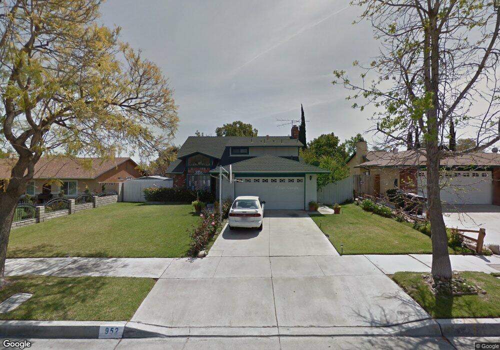
952 Carolyn Ct Colton, CA 92324
Estimated Value: $541,316 - $643,000
3
Beds
3
Baths
1,575
Sq Ft
$368/Sq Ft
Est. Value
About This Home
This home is located at 952 Carolyn Ct, Colton, CA 92324 and is currently estimated at $579,329, approximately $367 per square foot. 952 Carolyn Ct is a home located in San Bernardino County with nearby schools including Paul Rogers Elementary School, Colton Middle School, and Colton High School.
Ownership History
Date
Name
Owned For
Owner Type
Purchase Details
Closed on
Dec 30, 2020
Sold by
Diaz Ismael F and Diaz Antonia
Bought by
Diaz Ismael F and Diaz Antonia
Current Estimated Value
Home Financials for this Owner
Home Financials are based on the most recent Mortgage that was taken out on this home.
Original Mortgage
$174,300
Interest Rate
2.88%
Mortgage Type
New Conventional
Create a Home Valuation Report for This Property
The Home Valuation Report is an in-depth analysis detailing your home's value as well as a comparison with similar homes in the area
Home Values in the Area
Average Home Value in this Area
Purchase History
| Date | Buyer | Sale Price | Title Company |
|---|---|---|---|
| Diaz Ismael F | $125,000 | Amrock Llc |
Source: Public Records
Mortgage History
| Date | Status | Borrower | Loan Amount |
|---|---|---|---|
| Previous Owner | Diaz Ismael F | $174,300 |
Source: Public Records
Tax History
| Year | Tax Paid | Tax Assessment Tax Assessment Total Assessment is a certain percentage of the fair market value that is determined by local assessors to be the total taxable value of land and additions on the property. | Land | Improvement |
|---|---|---|---|---|
| 2025 | $2,120 | $163,999 | $34,167 | $129,832 |
| 2024 | $2,026 | $160,783 | $33,497 | $127,286 |
| 2023 | $2,031 | $157,630 | $32,840 | $124,790 |
| 2022 | $2,003 | $154,539 | $32,196 | $122,343 |
| 2021 | $1,952 | $151,509 | $31,565 | $119,944 |
| 2020 | $1,960 | $149,955 | $31,241 | $118,714 |
| 2019 | $1,907 | $147,014 | $30,628 | $116,386 |
| 2018 | $1,875 | $144,131 | $30,027 | $114,104 |
| 2017 | $1,810 | $141,305 | $29,438 | $111,867 |
| 2016 | $1,852 | $138,535 | $28,861 | $109,674 |
| 2015 | $1,794 | $136,454 | $28,427 | $108,027 |
| 2014 | $1,733 | $133,781 | $27,870 | $105,911 |
Source: Public Records
Map
Nearby Homes
- 1012 Long Beach Dr
- 1844 Alston Ave
- 1734 Kippy Dr
- 2250 W Mill St Unit 19
- 2250 W Mill St Unit 68
- 2250 W Mill #70 St
- 648 San Carlo Ave
- 1261 N Rancho Ave
- 1065 Stevenson St Unit A & B
- 1067 Stevenson St Unit A & B
- 732 S Lassen Ave
- 895 Orange St
- 1156 N Rancho Ave
- 494 S Macy St Unit 8
- 494 S Macy St Unit 116
- 494 S Macy St Unit 155
- 472 Mill St
- 2686 W Mill St Unit 32
- 2686 W Mill St Unit 91
- 2075 W Rialto Ave Unit 29
Your Personal Tour Guide
Ask me questions while you tour the home.