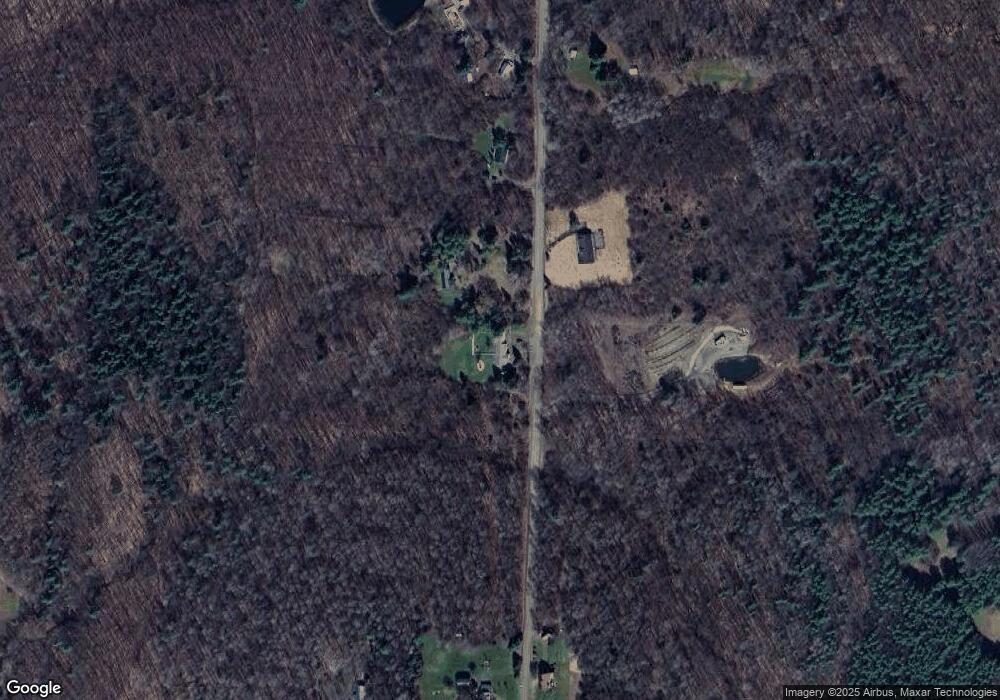
9521 Bronson Rd Wayland, NY 14572
Estimated Value: $109,000 - $191,000
3
Beds
2
Baths
1,680
Sq Ft
$84/Sq Ft
Est. Value
About This Home
This home is located at 9521 Bronson Rd, Wayland, NY 14572 and is currently estimated at $141,301, approximately $84 per square foot. 9521 Bronson Rd is a home located in Steuben County with nearby schools including Wayland Cohocton Middle School and Wayland Cohocton High School.
Ownership History
Date
Name
Owned For
Owner Type
Purchase Details
Closed on
Jun 10, 2021
Sold by
1St Realty Pa Llc
Bought by
Cummings Edward G
Current Estimated Value
Purchase Details
Closed on
Mar 13, 2019
Sold by
Cornerstone Homes Inc
Bought by
1St Realty Pa Llc
Purchase Details
Closed on
Jul 24, 2003
Sold by
Cornerstone Fund Inc
Bought by
Cornerstone Homes Inc
Purchase Details
Closed on
Apr 26, 2002
Sold by
Trustee Bank One National Association
Bought by
Cornerstone Fund Inc
Purchase Details
Closed on
May 17, 2001
Sold by
William Cupp
Bought by
Bank One National Assoc
Create a Home Valuation Report for This Property
The Home Valuation Report is an in-depth analysis detailing your home's value as well as a comparison with similar homes in the area
Home Values in the Area
Average Home Value in this Area
Purchase History
| Date | Buyer | Sale Price | Title Company |
|---|---|---|---|
| Cummings Edward G | $68,000 | None Available | |
| 1St Realty Pa Llc | $760,193 | -- | |
| Cornerstone Homes Inc | -- | Robert Plaskov | |
| Cornerstone Fund Inc | $21,000 | Robert Plaskov | |
| Bank One National Assoc | $500 | -- |
Source: Public Records
Tax History Compared to Growth
Tax History
| Year | Tax Paid | Tax Assessment Tax Assessment Total Assessment is a certain percentage of the fair market value that is determined by local assessors to be the total taxable value of land and additions on the property. | Land | Improvement |
|---|---|---|---|---|
| 2024 | $2,334 | $82,000 | $22,100 | $59,900 |
| 2023 | $2,158 | $82,000 | $22,100 | $59,900 |
| 2022 | $2,377 | $82,000 | $22,100 | $59,900 |
| 2021 | $2,583 | $77,600 | $18,100 | $59,500 |
| 2020 | $2,445 | $77,600 | $18,100 | $59,500 |
| 2019 | $3,834 | $77,600 | $18,100 | $59,500 |
| 2018 | $3,834 | $77,600 | $18,100 | $59,500 |
| 2017 | $3,882 | $77,600 | $17,200 | $60,400 |
| 2016 | $1,976 | $77,600 | $17,200 | $60,400 |
| 2015 | -- | $77,600 | $17,200 | $60,400 |
| 2014 | -- | $77,600 | $17,200 | $60,400 |
Source: Public Records
Map
Nearby Homes
- 9539 Bronson Rd
- 9392 Bronson Rd
- 9 E Lake Rd
- 1770 County Route 50
- 81 Lindenwood Dr
- 9268 County Route 46
- County Road 46
- 0 County Route 46 Unit S1627490
- 0 Akins Rd
- 3026 Emo Rd
- 1189 Willey Rd
- 8235 Cream Hill Rd
- 9069 Oak Hill Rd
- 4 Shults Ave
- 52 N Dansville St
- 1 Shults Ave
- 4 Mill St
- 0 New York 415
- 50 S Main St
- 31 S Main St
- 0 Bronson Rd Unit R1058154
- 9535 Bronson Rd
- 9543 Bronson Rd
- 9468 Bronson Rd
- 9467 Bronson Rd
- 2429 Poor Rd
- 9647 Bronson Rd
- 9658 Bronson Rd
- 2462 Ward Rd
- 2520 Ward Rd
- 2431 Ward Rd
- 9392 Bronson Rd
- 2459 Ward Rd
- 2467 Ward Rd
- 2364 County Route 50
- 2401 Ward Rd
- 2361 County Route 50
- 2282 County Route 50
- 2371 County Route 50
