9524 S 12th Ave E Kellogg, IA 50135
Estimated Value: $216,473 - $326,000
4
Beds
2
Baths
1,576
Sq Ft
$168/Sq Ft
Est. Value
About This Home
This home is located at 9524 S 12th Ave E, Kellogg, IA 50135 and is currently estimated at $264,618, approximately $167 per square foot. 9524 S 12th Ave E is a home located in Jasper County with nearby schools including Berg Middle School and Newton Senior High School.
Ownership History
Date
Name
Owned For
Owner Type
Purchase Details
Closed on
Sep 3, 2013
Sold by
Etter Bobbi J
Bought by
Etter Larry W
Current Estimated Value
Purchase Details
Closed on
Nov 9, 2010
Sold by
Midcap Linda L and Midcap James T
Bought by
Etter Larry W and Etter Bobbi J
Create a Home Valuation Report for This Property
The Home Valuation Report is an in-depth analysis detailing your home's value as well as a comparison with similar homes in the area
Home Values in the Area
Average Home Value in this Area
Purchase History
| Date | Buyer | Sale Price | Title Company |
|---|---|---|---|
| Etter Larry W | -- | None Available | |
| Etter Larry W | -- | None Available | |
| Etter Larry W | -- | None Available |
Source: Public Records
Tax History Compared to Growth
Tax History
| Year | Tax Paid | Tax Assessment Tax Assessment Total Assessment is a certain percentage of the fair market value that is determined by local assessors to be the total taxable value of land and additions on the property. | Land | Improvement |
|---|---|---|---|---|
| 2025 | $2,150 | $174,760 | $59,700 | $115,060 |
| 2024 | $2,150 | $173,480 | $39,330 | $134,150 |
| 2023 | $1,986 | $164,120 | $37,180 | $126,940 |
| 2022 | $1,726 | $132,600 | $34,650 | $97,950 |
| 2021 | $1,694 | $125,060 | $34,650 | $90,410 |
| 2020 | $1,694 | $116,790 | $33,160 | $83,630 |
| 2019 | $1,702 | $110,010 | $0 | $0 |
| 2018 | $1,702 | $110,010 | $0 | $0 |
| 2017 | $1,704 | $110,010 | $0 | $0 |
| 2016 | $1,704 | $110,010 | $0 | $0 |
| 2015 | $1,658 | $106,930 | $0 | $0 |
| 2014 | $1,574 | $106,930 | $0 | $0 |
Source: Public Records
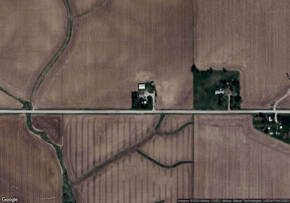
Map
Nearby Homes
- 115 Railroad St
- 507 Main St
- 506 Reuel Ave
- 503 2nd St
- 621 Water St
- 119 Northfield Dr
- TBD Northfield Dr
- 201 Northfield Dr
- 112 Northfield Dr
- 203 Northfield Dr
- TBD Northfield Ct
- 5122 E 84th St S
- 4683 Legion St Unit ST80
- 5664 Island Ave
- 1109 E 132nd St N
- 5804 Highway 224 N
- 5 Oakridge Dr
- 18 Fore Seasons Dr
- 6657 E 78th St S
- 313 E 29th St S
- 9662 S 12th Ave E
- 9715 S 12th Ave E
- 9228 S 12th Ave E
- 1738 E 92nd St S
- 9075 S 12th Ave E
- 1511 Highway 224 S
- 1041 Highway 224 S
- 1041 Highway 224 S
- 1402 Highway 224 S
- 1570 Iowa 224
- 314 E 92nd St S
- 686 Highway 224 S
- 10098 S 12th Ave E
- 8933 S 12th Ave E
- 117 E 92nd St S
- 10185 S 12th Ave E
- 2078 Highway T22 S
- 8808 S 12th Ave E
- 288 Highway 224 S
- 203 Highway 224 N