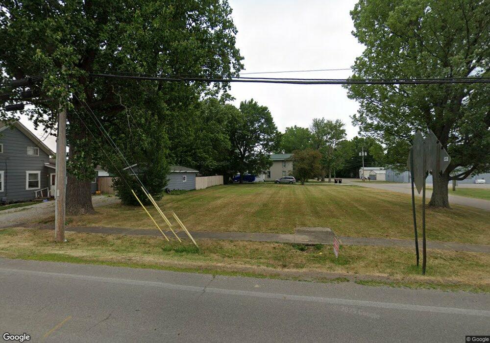
9529 Edison St NE Alliance, OH 44601
Estimated Value: $126,000 - $172,000
Studio
--
Bath
--
Sq Ft
7,797
Sq Ft Lot Lot
About This Home
This home is located at 9529 Edison St NE, Alliance, OH 44601 and is currently estimated at $148,333. 9529 Edison St NE is a home located in Stark County with nearby schools including Marlington High School.
Ownership History
Date
Name
Owned For
Owner Type
Purchase Details
Closed on
Feb 24, 2026
Sold by
Crowl Tyler J and Rose Elizabeth A
Bought by
Marlboro Holdings Llc
Current Estimated Value
Purchase Details
Closed on
Nov 29, 2023
Sold by
Rodabaugh Richard K
Bought by
Crowl Tyler J and Rose Elizabeth A
Purchase Details
Closed on
Nov 23, 2019
Sold by
Troyer Jeremy J and Troyer Kara
Bought by
Rodabaugh Richard K
Purchase Details
Closed on
Sep 17, 2009
Sold by
Lowry Miller Tammy L and Miller Scott L
Bought by
Troyer Jeremy J and Troyer Kara
Purchase Details
Closed on
Aug 27, 2004
Sold by
Wolfe John L and Wolfe James G
Bought by
Lowry Miller Tammy L
Create a Home Valuation Report for This Property
The Home Valuation Report is an in-depth analysis detailing your home's value as well as a comparison with similar homes in the area
Purchase History
| Date | Buyer | Sale Price | Title Company |
|---|---|---|---|
| Marlboro Holdings Llc | $20,000 | Heritage Union Title | |
| Crowl Tyler J | $8,000 | None Listed On Document | |
| Rodabaugh Richard K | $6,000 | None Available | |
| Troyer Jeremy J | $8,500 | Attorney | |
| Lowry Miller Tammy L | $29,000 | -- |
Source: Public Records
Tax History
| Year | Tax Paid | Tax Assessment Tax Assessment Total Assessment is a certain percentage of the fair market value that is determined by local assessors to be the total taxable value of land and additions on the property. | Land | Improvement |
|---|---|---|---|---|
| 2025 | -- | $4,450 | $4,450 | -- |
| 2024 | -- | $4,450 | $4,450 | -- |
| 2023 | $158 | $3,400 | $3,400 | -- |
| 2022 | $77 | $3,400 | $3,400 | $0 |
| 2021 | $152 | $3,400 | $3,400 | $0 |
| 2020 | $143 | $2,870 | $2,870 | $0 |
| 2019 | $142 | $2,870 | $2,870 | $0 |
| 2018 | $137 | $2,870 | $2,870 | $0 |
| 2017 | $109 | $2,000 | $2,000 | $0 |
| 2016 | $110 | $2,000 | $2,000 | $0 |
| 2015 | $110 | $2,000 | $2,000 | $0 |
| 2014 | $104 | $1,720 | $1,720 | $0 |
| 2013 | $51 | $1,720 | $1,720 | $0 |
Source: Public Records
Map
Nearby Homes
- 11829 Marlboro Ave NE
- 8863 Lynn Park St NE
- 8736 Lynn Park St NE
- 13390 Ravenna Ave NE
- 10636 Clapsaddle Ave NE
- 14170 Ravenna Ave NE
- 10131 Columbus Rd NE
- 0 New Milford Rd Unit 5204858
- 14281 Wade Ave NE
- 6920 Nimishillen Church St
- 6459 Smith Kramer St NE
- 10770 Dot Ave NE
- 10645 Wilma Ave NE
- 13004 Edison St NE
- 5615 Laubert Rd
- 11011 Immel Ave NE
- 13001 Beeson St NE
- 642 Horning Rd
- 724 New Milford Rd
- 10366 Immel St NE
- 12403 Beechlawn Ave NE
- 0 Edison Unit 3333288
- 0 Edison Unit 1187536
- 9505 Edison St NE
- 9500 Edison St NE
- 9487 Edison St NE
- 9500 Easton St
- 9496 Foxvale St NE
- 9560 Edison St NE
- 12429 Beechlawn Ave NE
- 9527 Saint Peters Church Rd NE
- 9576 Edison St NE
- 9499 Foxvale St NE
- 12441 Beechlawn Ave NE
- 12403 Marlboro Ave NE
- 12387 Marlboro Ave NE
- 9555 Saint Peters Church Rd NE
- 12308 Beechlawn Ave NE
- 12333 Marlboro Ave NE
- 12425 Marlboro Ave NE
Your Personal Tour Guide
Ask me questions while you tour the home.