9529 Neils Branch Rd Raleigh, NC 27603
Estimated Value: $325,000 - $442,000
--
Bed
2
Baths
1,917
Sq Ft
$204/Sq Ft
Est. Value
About This Home
This home is located at 9529 Neils Branch Rd, Raleigh, NC 27603 and is currently estimated at $391,018, approximately $203 per square foot. 9529 Neils Branch Rd is a home located in Wake County with nearby schools including Aversboro Elementary, East Garner Middle School, and South Garner High.
Ownership History
Date
Name
Owned For
Owner Type
Purchase Details
Closed on
Jul 14, 2021
Sold by
Redeeming Development Group Llc
Bought by
Tigre Marilene Almeida and Castro Jhonny F
Current Estimated Value
Home Financials for this Owner
Home Financials are based on the most recent Mortgage that was taken out on this home.
Original Mortgage
$228,937
Outstanding Balance
$207,725
Interest Rate
2.9%
Mortgage Type
FHA
Estimated Equity
$183,293
Purchase Details
Closed on
Dec 21, 2006
Sold by
Allen Catherine Jean
Bought by
Williams Martha Dosher
Purchase Details
Closed on
May 1, 1981
Bought by
Williams Martha Dosher and Allen Catherine Jean
Create a Home Valuation Report for This Property
The Home Valuation Report is an in-depth analysis detailing your home's value as well as a comparison with similar homes in the area
Home Values in the Area
Average Home Value in this Area
Purchase History
| Date | Buyer | Sale Price | Title Company |
|---|---|---|---|
| Tigre Marilene Almeida | $237,500 | None Available | |
| Williams Martha Dosher | -- | None Available | |
| Williams Martha Dosher | $29,000 | -- |
Source: Public Records
Mortgage History
| Date | Status | Borrower | Loan Amount |
|---|---|---|---|
| Open | Tigre Marilene Almeida | $228,937 |
Source: Public Records
Tax History Compared to Growth
Tax History
| Year | Tax Paid | Tax Assessment Tax Assessment Total Assessment is a certain percentage of the fair market value that is determined by local assessors to be the total taxable value of land and additions on the property. | Land | Improvement |
|---|---|---|---|---|
| 2025 | $2,613 | $405,393 | $222,660 | $182,733 |
| 2024 | $2,537 | $405,393 | $222,660 | $182,733 |
| 2023 | $2,652 | $337,616 | $218,970 | $118,646 |
| 2022 | $2,458 | $337,616 | $218,970 | $118,646 |
| 2021 | $2,392 | $337,616 | $218,970 | $118,646 |
| 2020 | $2,353 | $337,616 | $218,970 | $118,646 |
| 2019 | $2,631 | $319,671 | $203,715 | $115,956 |
| 2018 | $2,419 | $319,671 | $203,715 | $115,956 |
| 2017 | $2,293 | $319,671 | $203,715 | $115,956 |
| 2016 | $2,247 | $319,671 | $203,715 | $115,956 |
| 2015 | $1,706 | $242,753 | $115,330 | $127,423 |
| 2014 | $1,617 | $242,753 | $115,330 | $127,423 |
Source: Public Records
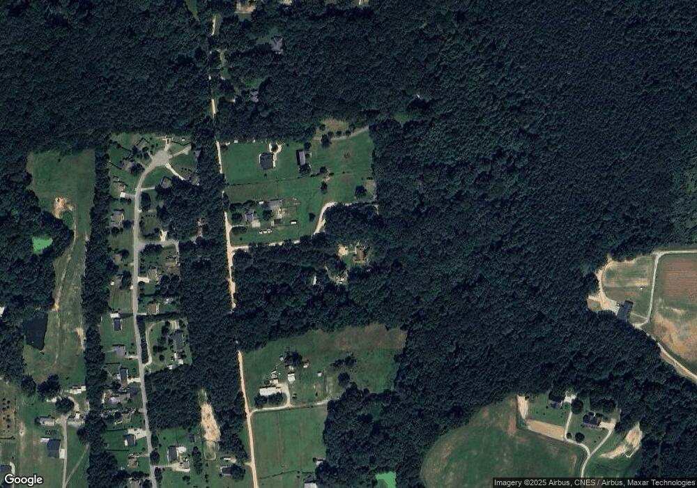
Map
Nearby Homes
- 920 Shadywood Ln
- 10001 Joe Leach Rd
- 700 Arbor Greene Dr
- 316 Arbor Greene Dr
- 1004 Cabin Hill Way
- 701 Rand Rd
- 107 Bull Bay Ln
- 139 Bull Bay Ln
- 221 Sprenger St
- 229 Sprenger St
- 5013 Contender Dr
- 135 Bull Bay Ln
- 212 Bluefield Dr
- 4117 Bashford Bluffs Ln
- Summit Plan at Magnolia Park
- Teton Plan at Magnolia Park - Sweetbay
- Getty Plan at Magnolia Park
- Olympic Plan at Magnolia Park - Southern
- Morgan Plan at Magnolia Park
- 216 Sprenger St
- 9525 Neils Branch Rd
- 9517 Neils Branch Rd
- 9501 Neils Branch Rd
- 9511 Neils Branch Rd
- 9511 Neils Branch Rd Unit 529
- 9605 Neils Branch Rd
- 110 Caminetto Ct
- 109 Caminetto Ct
- 9601 Neils Branch Rd
- 160 Monstesino Dr
- 160 Montesino Dr
- 106 Caminetto Ct
- 9437 Neils Branch Rd
- 168 Montesino Dr
- 150 Montesino Dr
- 105 Caminetto Ct
- 152 Montesino Dr
- 152 Monstesino Dr
- 9566 Neils Branch Rd
- 156 Montesino Dr