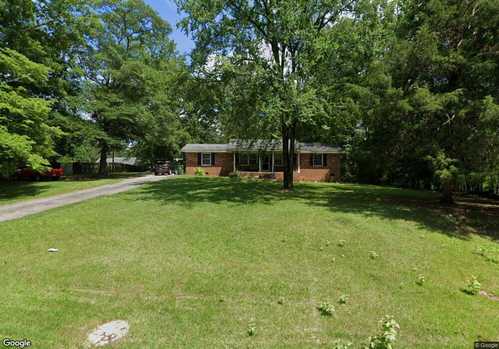
953 Anderson Dr Unit 10 Lancaster, SC 29720
Estimated Value: $214,000 - $296,000
3
Beds
2
Baths
1,395
Sq Ft
$193/Sq Ft
Est. Value
About This Home
This home is located at 953 Anderson Dr Unit 10, Lancaster, SC 29720 and is currently estimated at $269,598, approximately $193 per square foot. 953 Anderson Dr Unit 10 is a home located in Lancaster County with nearby schools including North Elementary School, A.R. Rucker Middle School, and Lancaster High School.
Ownership History
Date
Name
Owned For
Owner Type
Purchase Details
Closed on
Sep 28, 2018
Sold by
Baker Nicole
Bought by
Hinson Tristin
Current Estimated Value
Home Financials for this Owner
Home Financials are based on the most recent Mortgage that was taken out on this home.
Original Mortgage
$156,565
Outstanding Balance
$136,534
Interest Rate
4.5%
Mortgage Type
New Conventional
Estimated Equity
$133,064
Purchase Details
Closed on
Jun 10, 2016
Sold by
Teresa B Erson
Bought by
Baker Nicole
Home Financials for this Owner
Home Financials are based on the most recent Mortgage that was taken out on this home.
Original Mortgage
$137,789
Interest Rate
3.6%
Purchase Details
Closed on
Feb 24, 2015
Sold by
Morgan Nolan
Bought by
Sbj Llc
Create a Home Valuation Report for This Property
The Home Valuation Report is an in-depth analysis detailing your home's value as well as a comparison with similar homes in the area
Home Values in the Area
Average Home Value in this Area
Purchase History
| Date | Buyer | Sale Price | Title Company |
|---|---|---|---|
| Hinson Tristin | $155,000 | None Available | |
| Baker Nicole | -- | -- | |
| Sbj Llc | $50,000 | -- |
Source: Public Records
Mortgage History
| Date | Status | Borrower | Loan Amount |
|---|---|---|---|
| Open | Hinson Tristin | $156,565 | |
| Previous Owner | Baker Nicole | $137,789 | |
| Previous Owner | Baker Nicole | -- |
Source: Public Records
Tax History Compared to Growth
Tax History
| Year | Tax Paid | Tax Assessment Tax Assessment Total Assessment is a certain percentage of the fair market value that is determined by local assessors to be the total taxable value of land and additions on the property. | Land | Improvement |
|---|---|---|---|---|
| 2024 | $1,254 | $6,372 | $960 | $5,412 |
| 2023 | $1,426 | $6,372 | $960 | $5,412 |
| 2022 | $1,515 | $6,372 | $960 | $5,412 |
| 2021 | $1,495 | $6,372 | $960 | $5,412 |
| 2020 | $1,408 | $6,012 | $960 | $5,052 |
| 2019 | $3,071 | $6,012 | $960 | $5,052 |
| 2018 | $1,757 | $5,404 | $960 | $4,444 |
| 2017 | $1,165 | $0 | $0 | $0 |
| 2016 | $769 | $0 | $0 | $0 |
| 2015 | $2,029 | $0 | $0 | $0 |
| 2014 | $2,029 | $0 | $0 | $0 |
| 2013 | $2,029 | $0 | $0 | $0 |
Source: Public Records
Map
Nearby Homes
- 585 Nesbe St Unit 2224
- 577 Nesbe St Unit 2222
- 00 University Dr
- 1402 University Dr
- 336 Maplestead St Unit 1080
- 993 Pemberley St Unit 3176
- 177 Basildon St Unit 1014
- Cedar Plan at Basildon
- Aspen Plan at Basildon
- Birch Plan at Basildon
- Elder Plan at Basildon
- Spruce Plan at Basildon
- Hazel Plan at Basildon
- 147 Basildon St Unit 1007
- Grand Cayman Basement Plan at Basildon - Ranches
- Eden Cay Basement Plan at Basildon - Ranches
- Grand Bahama Plan at Basildon - Ranches
- Dominica Spring Plan at Basildon - Ranches
- Grand Cayman Plan at Basildon - Ranches
- Eden Cay Plan at Basildon - Ranches
- 953 Anderson Dr
- 957 Anderson Dr
- 950 High Lane Dr
- 958 High Lane Dr
- 954 Anderson Dr
- 961 Anderson Dr
- 958 Anderson Dr
- 962 High Lane Dr
- 962 High Ln
- 0 521 Hwy Unit 869910
- 000 Highway
- 962 Anderson Dr
- 965 Anderson Dr
- 957 High Lane Dr
- 953 High Lane Dr
- 957 High Ln
- 966 High Lane Dr
- 959 High Lane Dr
- 966 Anderson Dr
- 961 High Lane Dr