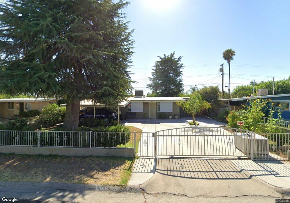
953 Brookfield Dr Clovis, CA 93612
Estimated Value: $291,000 - $327,000
About This Home
This home is located at 953 Brookfield Dr, Clovis, CA 93612 and is currently estimated at $303,573, approximately $268 per square foot. 953 Brookfield Dr is a home located in Fresno County with nearby schools including Clovis Elementary School, Clark Intermediate School, and Clovis High School.
Ownership History
We collect this data history from publicly available records. To have your information removed, we recommend requesting removal directly through your county’s website.
Purchase Details
Home Financials for this Owner
Home Financials are based on the most recent Mortgage that was taken out on this home.Home Values in the Area
Average Home Value in this Area
Purchase History
We collect this data history from publicly available records. To have your information removed, we recommend requesting removal directly through your county’s website.
| Date | Buyer | Sale Price | Title Company |
|---|---|---|---|
| $55,000 | Central Title Company |
Mortgage History
We collect this data history from publicly available records. To have your information removed, we recommend requesting removal directly through your county’s website.
| Date | Status | Borrower | Loan Amount |
|---|---|---|---|
| Open | $47,495 | ||
| Closed | $2,500 |
Tax History
We collect this data history from publicly available records. To have your information removed, we recommend requesting removal directly through your county’s website.
| Year | Tax Paid | Tax Assessment Tax Assessment Total Assessment is a certain percentage of the fair market value that is determined by local assessors to be the total taxable value of land and additions on the property. | Land | Improvement |
|---|---|---|---|---|
| 2025 | $991 | $89,551 | $27,675 | $61,876 |
| 2023 | $951 | $86,075 | $26,601 | $59,474 |
| 2022 | $937 | $84,388 | $26,080 | $58,308 |
| 2021 | $909 | $82,734 | $25,569 | $57,165 |
| 2020 | $905 | $81,886 | $25,307 | $56,579 |
| 2019 | $886 | $80,281 | $24,811 | $55,470 |
| 2018 | $866 | $78,708 | $24,325 | $54,383 |
| 2017 | $849 | $77,166 | $23,849 | $53,317 |
| 2016 | $820 | $75,654 | $23,382 | $52,272 |
| 2015 | $806 | $74,518 | $23,031 | $51,487 |
| 2014 | $790 | $73,059 | $22,580 | $50,479 |
Map
- 1228 Jefferson Ave
- 760 Sunnyside Ave
- 1407 Purvis Ave
- 1272 Bullard Ave
- 1517 Lincoln Ave
- 1468 Morris Ave
- 1545 Sunnyside Ave
- 1581 Barstow Ave
- 474 7th St Unit 101
- 1583 Celeste Ave
- 1504 Scott Ave
- 103 Poppy Ln
- 1498 Escalon Ave
- 1758 Barstow Ave
- 1764 Purvis Ave
- 1641 Oxford Ave
- 1854 Cougar Ln
- 701 Mcarthur Ave
- 1488 Whittier Ave
- 1698 Tollhouse Ln
- 973 Brookfield Dr
- 963 Brookfield Dr
- 983 Brookfield Dr
- 993 Brookfield Dr
- 972 Cole Ave
- 962 Cole Ave
- 982 Cole Ave
- 972 Brookfield Dr
- 962 Brookfield Dr
- 982 Brookfield Dr
- 952 Cole Ave
- 1097 Jefferson Ave
- 943 Brookfield Dr
- 952 Brookfield Dr
- 992 Brookfield Dr
- 942 Cole Ave
- 942 Brookfield Dr
- 933 Brookfield Dr
- 932 Cole Ave
- 973 Rosebrook Dr
Ask me questions while you tour the home.