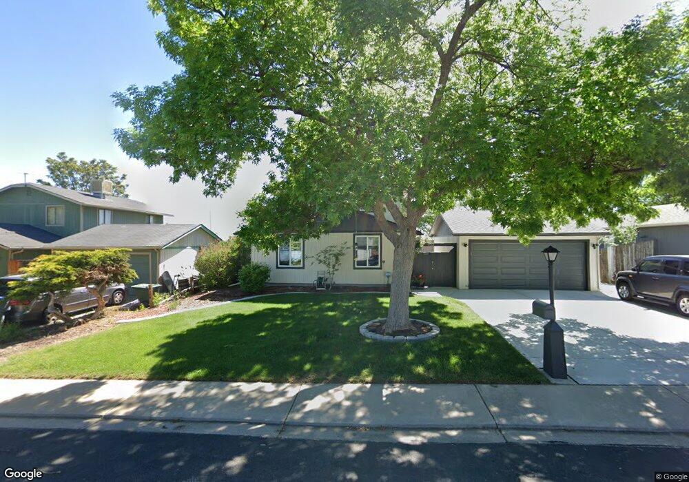
953 Pasque Dr Longmont, CO 80504
Clark Centennial NeighborhoodEstimated Value: $470,182 - $504,000
4
Beds
2
Baths
1,680
Sq Ft
$293/Sq Ft
Est. Value
About This Home
This home is located at 953 Pasque Dr, Longmont, CO 80504 and is currently estimated at $491,796, approximately $292 per square foot. 953 Pasque Dr is a home located in Boulder County with nearby schools including Timberline Pk-8, Skyline High School, and Messiahville Baptist Academy.
Ownership History
Date
Name
Owned For
Owner Type
Purchase Details
Closed on
Apr 28, 2000
Sold by
Fadenrecht Janet L
Bought by
Sam Karen
Current Estimated Value
Home Financials for this Owner
Home Financials are based on the most recent Mortgage that was taken out on this home.
Original Mortgage
$146,000
Outstanding Balance
$50,584
Interest Rate
8.18%
Mortgage Type
FHA
Estimated Equity
$441,212
Purchase Details
Closed on
Feb 24, 1997
Sold by
Fadenrecht Marvin J
Bought by
Fadenrecht Janet L
Purchase Details
Closed on
Jun 19, 1978
Bought by
Sam Karen
Create a Home Valuation Report for This Property
The Home Valuation Report is an in-depth analysis detailing your home's value as well as a comparison with similar homes in the area
Home Values in the Area
Average Home Value in this Area
Purchase History
| Date | Buyer | Sale Price | Title Company |
|---|---|---|---|
| Sam Karen | $160,000 | Stewart Title | |
| Fadenrecht Janet L | -- | -- | |
| Sam Karen | $38,500 | -- |
Source: Public Records
Mortgage History
| Date | Status | Borrower | Loan Amount |
|---|---|---|---|
| Open | Sam Karen | $146,000 | |
| Closed | Sam Karen | $6,000 |
Source: Public Records
Tax History
| Year | Tax Paid | Tax Assessment Tax Assessment Total Assessment is a certain percentage of the fair market value that is determined by local assessors to be the total taxable value of land and additions on the property. | Land | Improvement |
|---|---|---|---|---|
| 2025 | $2,459 | $26,744 | $7,994 | $18,750 |
| 2024 | $2,459 | $26,744 | $7,994 | $18,750 |
| 2023 | $2,426 | $25,708 | $8,884 | $20,509 |
| 2022 | $2,191 | $22,136 | $6,700 | $15,436 |
| 2021 | $2,219 | $22,773 | $6,893 | $15,880 |
| 2020 | $5,755 | $19,970 | $6,078 | $13,892 |
| 2019 | $1,909 | $19,970 | $6,078 | $13,892 |
| 2018 | $1,599 | $16,834 | $5,976 | $10,858 |
| 2017 | $1,577 | $18,611 | $6,607 | $12,004 |
| 2016 | $1,411 | $14,758 | $5,174 | $9,584 |
| 2015 | $1,344 | $12,394 | $3,662 | $8,732 |
| 2014 | $1,158 | $12,394 | $3,662 | $8,732 |
Source: Public Records
Map
Nearby Homes
- 1267 E 9th Ave
- 902 Sugar Mill Ave
- 582 Highland Dr
- 12027 Saint Vrain Rd
- 820 Brookside Dr
- 752 Brookside Dr
- 1337 Trail Ridge Rd
- 829 Independence Dr
- 712 Pendleton Ave
- 1159 Fall River Cir
- 717 Elliott St
- 613 Rider Ridge Dr
- 631 Rider Ridge Rd
- 524 Rider Ridge Dr
- 1244 Snowbank Ct
- 1419 Red Mountain Dr Unit 15
- 1419 Red Mountain Dr Unit 98
- 815 Hilltop St
- 6006 Fox Hill Dr
- 632 Hilltop St
Your Personal Tour Guide
Ask me questions while you tour the home.