953 Weaver Rd Bronson, MI 49028
Estimated Value: $179,193 - $245,000
3
Beds
1
Bath
1,707
Sq Ft
$120/Sq Ft
Est. Value
About This Home
This home is located at 953 Weaver Rd, Bronson, MI 49028 and is currently estimated at $205,548, approximately $120 per square foot. 953 Weaver Rd is a home located in Branch County with nearby schools including Ryan Elementary School, Anderson Elementary School, and Bronson Junior/Senior High School.
Ownership History
Date
Name
Owned For
Owner Type
Purchase Details
Closed on
Aug 23, 2004
Sold by
Yoder Candy and Bodine Candy L
Bought by
Shaffer Ronald J and Shaffer Priscilla G
Current Estimated Value
Home Financials for this Owner
Home Financials are based on the most recent Mortgage that was taken out on this home.
Original Mortgage
$34,042
Interest Rate
6.08%
Mortgage Type
Purchase Money Mortgage
Purchase Details
Closed on
Mar 29, 1996
Create a Home Valuation Report for This Property
The Home Valuation Report is an in-depth analysis detailing your home's value as well as a comparison with similar homes in the area
Purchase History
| Date | Buyer | Sale Price | Title Company |
|---|---|---|---|
| Shaffer Ronald J | $41,000 | Meridian Title Corp | |
| -- | $45,000 | -- |
Source: Public Records
Mortgage History
| Date | Status | Borrower | Loan Amount |
|---|---|---|---|
| Closed | Shaffer Ronald J | $34,042 |
Source: Public Records
Tax History
| Year | Tax Paid | Tax Assessment Tax Assessment Total Assessment is a certain percentage of the fair market value that is determined by local assessors to be the total taxable value of land and additions on the property. | Land | Improvement |
|---|---|---|---|---|
| 2025 | $1,867 | $68,120 | $0 | $0 |
| 2024 | $4 | $66,686 | $0 | $0 |
| 2023 | $405 | $52,348 | $0 | $0 |
| 2022 | $405 | $46,704 | $0 | $0 |
| 2020 | -- | $42,098 | $0 | $0 |
| 2019 | -- | $35,580 | $0 | $0 |
| 2018 | -- | $39,645 | $0 | $0 |
| 2017 | -- | $39,104 | $0 | $0 |
| 2016 | -- | $37,195 | $0 | $0 |
| 2015 | -- | $34,374 | $0 | $0 |
| 2014 | -- | $33,185 | $0 | $0 |
| 2013 | -- | $32,107 | $0 | $0 |
Source: Public Records
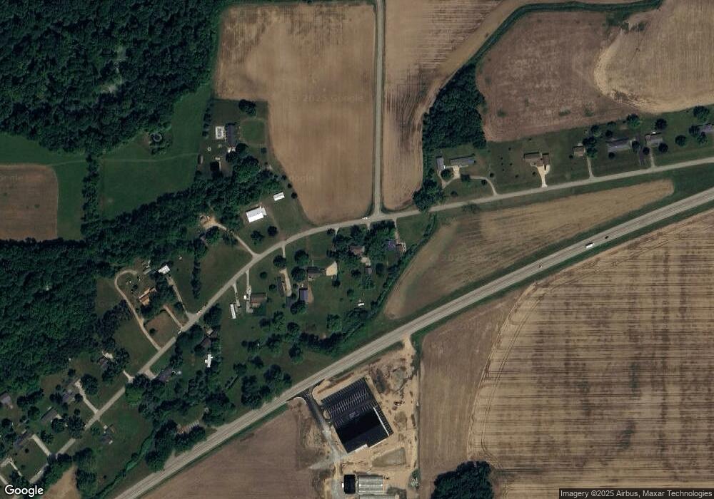
Map
Nearby Homes
- 224 S Ruggles St
- 410 Franklin St
- 220 N Douglas St
- 644 S Matteson St
- 150 Washington St
- 225 N Lincoln St
- 234 N Lincoln St
- 325 N Lincoln St
- 351 Roosevelt St
- 0 Bawden Rd
- 1015 Brink Rd
- 317 S Parham Rd
- 769 Kosmerick Rd
- 1051 Brink Rd
- 130 Osborn Rd
- 368 Cranson Rd
- 812 George Rd
- 230 S 5th St
- 0 Rierson Rd
- 604 W Front St
Your Personal Tour Guide
Ask me questions while you tour the home.