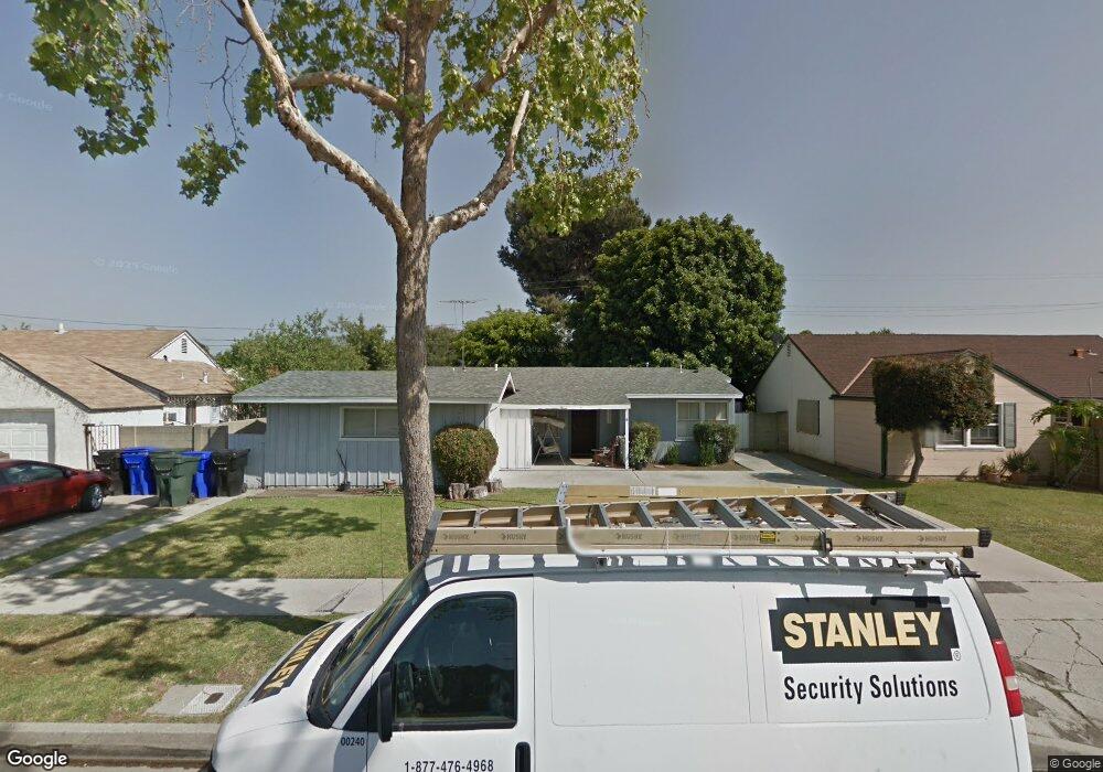
9532 Tarryton Ave Whittier, CA 90605
South Whittier NeighborhoodEstimated Value: $716,774 - $752,000
3
Beds
1
Bath
1,053
Sq Ft
$702/Sq Ft
Est. Value
About This Home
This home is located at 9532 Tarryton Ave, Whittier, CA 90605 and is currently estimated at $739,194, approximately $701 per square foot. 9532 Tarryton Ave is a home located in Los Angeles County with nearby schools including Laurel Elementary School, Hillview Middle School, and Pioneer High School.
Ownership History
Date
Name
Owned For
Owner Type
Purchase Details
Closed on
Mar 31, 2015
Sold by
Roode Sandra L
Bought by
Roode Sandra and Sandra Roode Trust
Current Estimated Value
Purchase Details
Closed on
Nov 5, 2009
Sold by
Roode Nathan C
Bought by
Roode Sandra L
Home Financials for this Owner
Home Financials are based on the most recent Mortgage that was taken out on this home.
Original Mortgage
$76,100
Interest Rate
4.99%
Mortgage Type
New Conventional
Purchase Details
Closed on
Oct 22, 2003
Sold by
Roode Chris E and Roode Sandra L
Bought by
Roode Sandra L
Create a Home Valuation Report for This Property
The Home Valuation Report is an in-depth analysis detailing your home's value as well as a comparison with similar homes in the area
Home Values in the Area
Average Home Value in this Area
Purchase History
| Date | Buyer | Sale Price | Title Company |
|---|---|---|---|
| Roode Sandra | -- | None Available | |
| Roode Sandra L | -- | Landsafe Title Pasadena | |
| Roode Sandra L | -- | Landsafe Title |
Source: Public Records
Mortgage History
| Date | Status | Borrower | Loan Amount |
|---|---|---|---|
| Closed | Roode Sandra L | $76,100 |
Source: Public Records
Tax History Compared to Growth
Tax History
| Year | Tax Paid | Tax Assessment Tax Assessment Total Assessment is a certain percentage of the fair market value that is determined by local assessors to be the total taxable value of land and additions on the property. | Land | Improvement |
|---|---|---|---|---|
| 2025 | $3,360 | $257,220 | $156,166 | $101,054 |
| 2024 | $3,360 | $252,177 | $153,104 | $99,073 |
| 2023 | $3,304 | $247,233 | $150,102 | $97,131 |
| 2022 | $3,233 | $242,386 | $147,159 | $95,227 |
| 2021 | $3,169 | $237,634 | $144,274 | $93,360 |
| 2019 | $3,106 | $230,588 | $139,996 | $90,592 |
| 2018 | $2,997 | $226,067 | $137,251 | $88,816 |
| 2016 | $2,837 | $217,290 | $131,922 | $85,368 |
| 2015 | $2,818 | $214,027 | $129,941 | $84,086 |
| 2014 | -- | $209,835 | $127,396 | $82,439 |
Source: Public Records
Map
Nearby Homes
- 9551 Barkerville Ave
- 13426 Anola St
- 13649 Reis St
- 10123 Lanett Ave
- 13856 Mulberry Dr
- 13414 Reis St
- 9534 Painter Ave
- 13535 Dunton Dr
- 13762 Danbrook Dr
- 10246 Parkinson Ave
- 14042 Hawes St
- 14033 Oval Dr
- 10035 Ben Hur Ave
- 9009 Bluford Ave
- 9020 Bright Ave
- 9127 Greenleaf Ave
- 14037 Mystic St
- 13752 Bentongrove Dr
- 8603 Laurel Ave
- 14064 Carnell St
- 9538 Tarryton Ave
- 9526 Tarryton Ave
- 9531 Maryknoll Ave
- 9537 Maryknoll Ave
- 9525 Maryknoll Ave
- 9602 Tarryton Ave
- 9520 Tarryton Ave
- 9533 Tarryton Ave
- 9527 Tarryton Ave
- 9539 Tarryton Ave
- 9608 Tarryton Ave
- 9514 Tarryton Ave
- 9521 Tarryton Ave
- 9603 Tarryton Ave
- 9609 Maryknoll Ave
- 9513 Maryknoll Ave
- 9515 Tarryton Ave
- 9614 Tarryton Ave
- 9609 Tarryton Ave
- 9520 Firebird Ave